
SMITH RAPIDS
USFS · Campground · Fee
Fast facts
- Cost
- Fee charged
- Managed by
- USFS
- Type
- Campground
- Hours
- 24 Hours Quiet hours are from 10 pm to 6 am.
- Reservations
- fs.usda.gov
- Phone
- 715-762-2461
- Coordinates
- 45.9106, -90.1739
- Last verified
- September 19, 2026



About this place
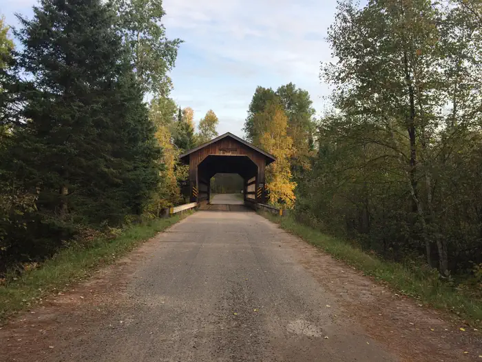
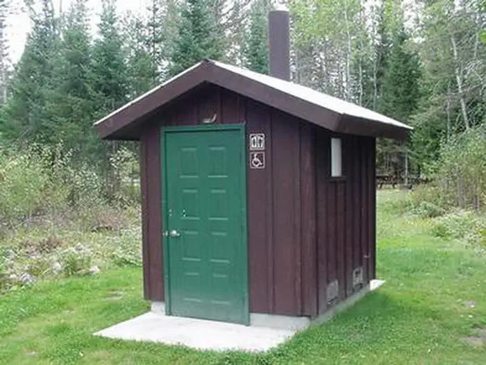
Overview Smith Rapids Campground is located on the South Fork of the Flambeau River. It is an ideal location for hiking, river fishing and canoeing. Recreation The fast-flowing South Fork of the Flambeau River is popular among canoeists. A carry-down boat ramp is available at the campground. The river has walleye, smallmouth bass, redhorse, musky and northern pike. The campground is also in close proximity to the 70-mile Flambeau Trail System, open to off-road vehicles, hiking and mountain biking. The trail is highlighted by rolling terrain, tree-lined corridors, a wooden bridge and vistas overlooking various bogs and lakes. It is a popular snowmobiling location during winter months. Off-road vehicles are not permitted to operate in Smith Rapids Campground. Facilities The campground offers single-family sites for tent and RV camping. Several of the sites have extra long parking spurs. Tables and campfire rings are provided, as are vault toilets and drinking water. Natural Features At an elevation of about 1,500 feet, the campground provides shady, wooded sites. Smith Rapids is located on the South Fork of the Flambeau River, with a scenic view of Smith Rapids Covered Bridge. Constructed in 1991, the bridge is the only glue-laminated town lattice covered bridge in Wisconsin. Nearby Attractions Park Falls, Wisconsin is approximately 17 miles from the campground and is a full service community.
From the USFS.
Is SMITH RAPIDS free?
No. SMITH RAPIDS charges a fee. It is managed by the USFS. Sites are reservable through fs.usda.gov.
How do I get to SMITH RAPIDS?
Travel east from Fifield, on State Highway 70 for 12.5 miles and turn left (north) on Forest Road 148 for 2 miles.
What are the rules at SMITH RAPIDS?
Restrictions for all National Forest System lands can be found by visiting Title 36 Code of Federal Regulations 261. The Chequamegon-Nicolet National Forest-specific restrictions can be found on the Occupancy and Use Restrictions page.
Nearby
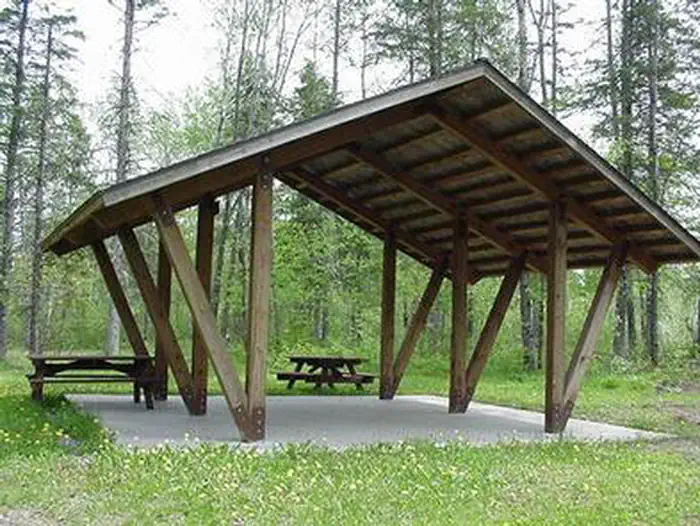
- SMITH RAPIDS PAVILION0.0 mi
- TWIN LAKES (WI)5.8 mi
- SAILOR LAKE PAVILION6.3 mi
- SAILOR LAKE6.8 mi
- Emily Lake8.7 mi
- Emily Lake Recreation Area8.7 mi
- STOCKFARM BRIDGE27.5 mi
- Stock Farm Bridge Cg27.5 mi
No other services within 50 mi on the record.
SourceData from the USFS. Last synced September 19, 2026. Community reports and photos are submitted by travelers and are not verified by the agency.
