
SAILOR LAKE
USFS · Campground · Fee
Fast facts
- Cost
- Fee charged
- Managed by
- USFS
- Type
- Campground
- Hours
- 24 Hours Quiet hours are from 10 pm to 6 am.
- Reservations
- recreation.gov
- Phone
- 715-762-2461
- Coordinates
- 45.8431, -90.2772
- Last verified
- September 19, 2026
About this place
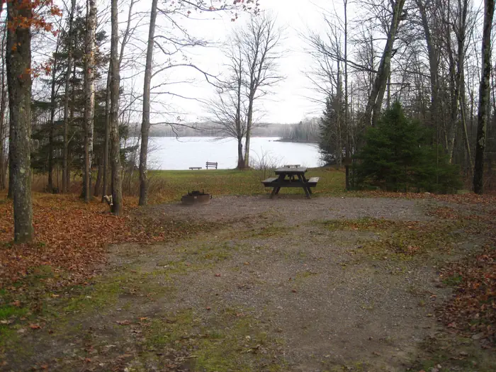
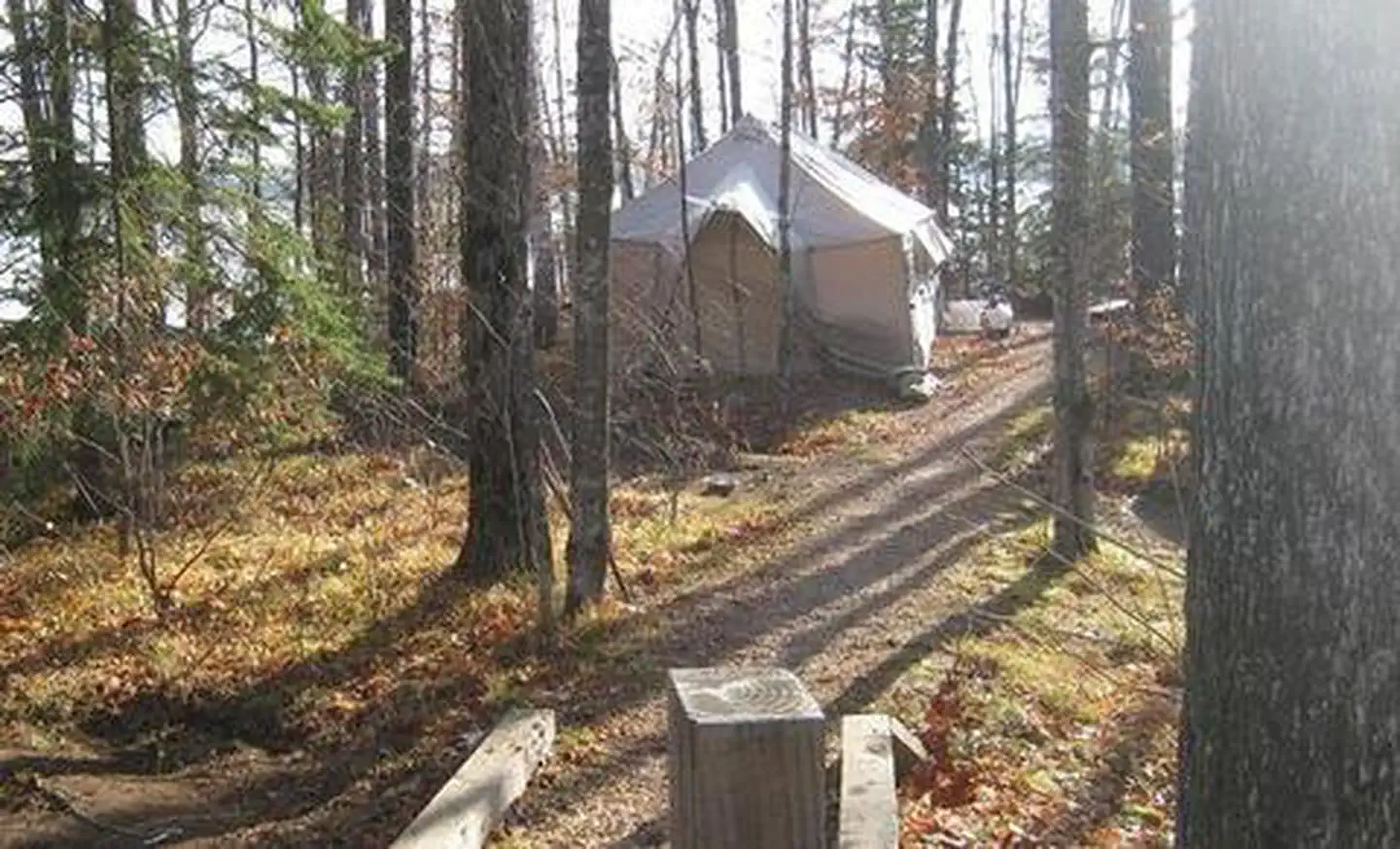
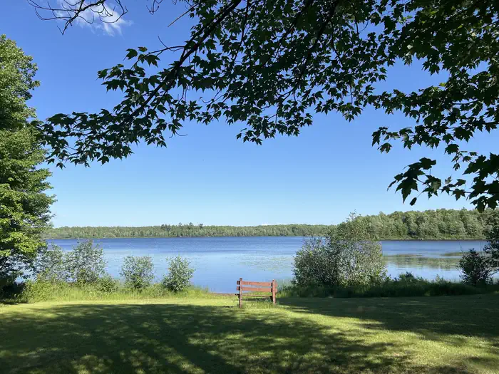
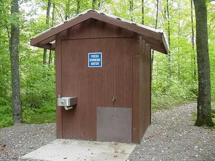
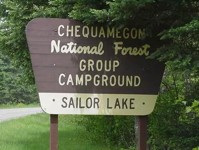
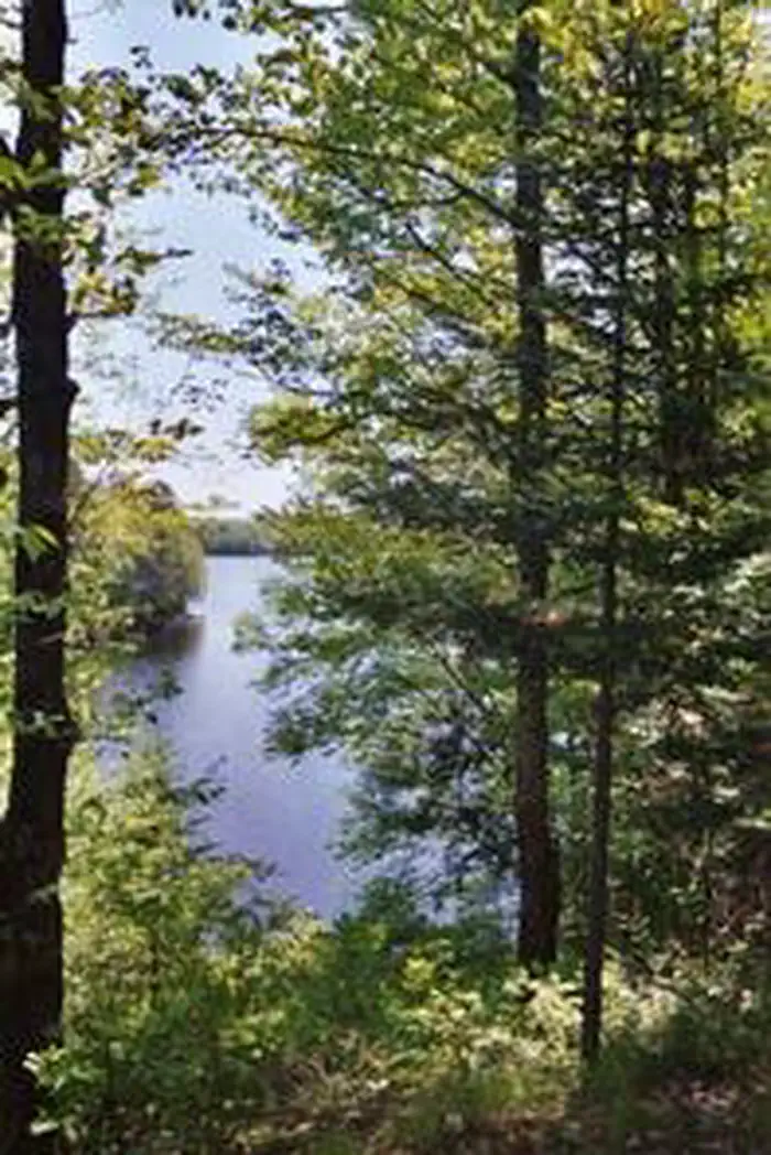
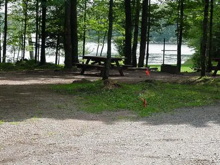
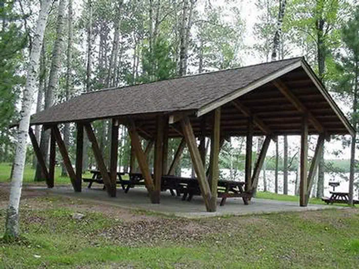
Overview Rustic Sailor Lake Campground sits on the northwestern shores of scenic Sailor Lake. Its scenic views and secluded location make it popular for campers and explorers alike. The campground offers access to the lake as well as a beautiful picnic area and access to off-road vehicle trails. Recreation Sailor Lake Campground is a favorite among off-road enthusiasts, offering direct access to the 70-mile Flambeau Trail System. The trail is highlighted by rolling terrain, tree-lined corridors, wooden bridges and vistas overlooking various bogs and lakes. It is a popular snowmobiling location during winter months. The campground is adjacent to 170-acre Sailor Lake, which is popular for boating and fishing. Anglers will find healthy populations of pan fish and northern pike. A boat ramp is located a mile south of the campground at the Sailor Lake Picnic Area. A picnic shelter is also avaialble at the picnic area. Facilities The campground offers about two dozen sites for tent or RV camping. There are no hookups available and parking spurs are either grass or gravel. Some sites are available on a first-come, first-served basis. Each site is equipped with a table and campfire ring. Vault toilets and drinking water are provided. Some sites are secluded by trees and some are situated on the waterfront. Natural Features The campground is laid out in two loops and situated on the shores of Sailor Lake at an elevation of about 1,460 feet. The sites are shaded by a mixed hardwood forest. Nearby Attractions The campground is located approximately 11 miles southeast of Fifield. The city boasts a variety of tourist attractions, including historic sites, a reconstructed logging dam and a couple of war memorials.
From the USFS.Official page
Is SAILOR LAKE free?
No. SAILOR LAKE charges a fee. It is managed by the USFS. Sites are reservable through recreation.gov.
How do I get to SAILOR LAKE?
Sailor Lake Recreation Area is located approximately 11 miles southeast of Fifield. Follow State Highway 70 east from Fifield and turn right (south) on Forest Road 139 for 3 miles.
What are the rules at SAILOR LAKE?
Restrictions for all National Forest System lands can be found by visiting Title 36 Code of Federal Regulations 261. The Chequamegon-Nicolet National Forest-specific restrictions can be found on the Occupancy and Use Restrictions page.
Nearby
- SAILOR LAKE PAVILION0.5 mi
- SMITH RAPIDS PAVILION6.8 mi
- SMITH RAPIDS6.8 mi
- TWIN LAKES (WI)12.5 mi
- Emily Lake15.4 mi
- Emily Lake Recreation Area15.4 mi
- STOCKFARM BRIDGE25.0 mi
- Stock Farm Bridge Cg25.0 mi
No other services within 50 mi on the record.
SourceData from the USFS. Last synced September 19, 2026. Community reports and photos are submitted by travelers and are not verified by the agency.
