
STOCKFARM BRIDGE
Campground · Fee not listed
Fast facts
- Cost
- Not listed. Check locally.
- Type
- Campground
- Phone
- (715) 264-2511 OR (715) 634-4821
- Coordinates
- 46.0379, -90.7143
- Last verified
- September 19, 2026

About this place
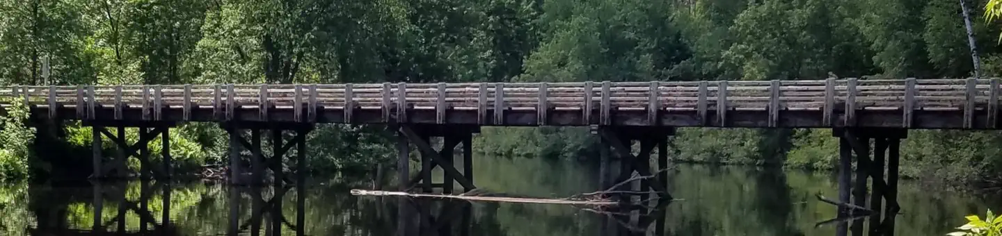
Overview Stockfarm Bridge Campground is located in a red pine forest on the East Fork of the Chippewa River, a candidate wild and scenic river. Recreation Located on the edge of the elk capital of Wisconsin, the Stockfarm Bridge Campground area has activities for everyone. Miles of off-road vehicle on the Dead Horse Run Off-road Vehicle Trail (ATV/UTV), canoeing, kayaking, and fishing in the scenic East Fork of the Chippewa River or hunting during the fall small and big game hunting seasons. Facilities The campground offers 7 single family campsites and one group site accomodating up to 16 people. There is a hand-pump for potable drinking water, accessible vault toilets, fire rings and picnic tables. Trash collection and recycling bins are available at the campground as well. Natural Features The Chequamegon-Nicolet National Forest offers 845,000 acres of lush landscape dotted with lakes, rivers and streams. Pine, spruce, maple, aspen and balsam forests, as well as extensive jack pine plantations, make up the vegetation.
From the managing agency.
Is STOCKFARM BRIDGE free?
We do not have a fee on record for STOCKFARM BRIDGE. Confirm the cost locally before you go.
How do I get to STOCKFARM BRIDGE?
STOCKFARM BRIDGE is at 46.0379, -90.7143. We do not hold written directions for this one, so navigate to the coordinates.
Nearby
- Stock Farm Bridge Cg0.0 mi
- BLACK LAKE11.2 mi
- EAST TWIN12.7 mi
- DAY LAKE13.4 mi
- MOOSE LAKE14.8 mi
- MINERAL LAKE18.3 mi
- Beaver Lake (Chequamegon-Nicolet NF, WI)19.8 mi
- Beaver Lake20.2 mi
No other services within 50 mi on the record.
SourceSource data is agency published. Last synced September 19, 2026. Community reports and photos are submitted by travelers and are not verified by the agency.
