
RAYBURN
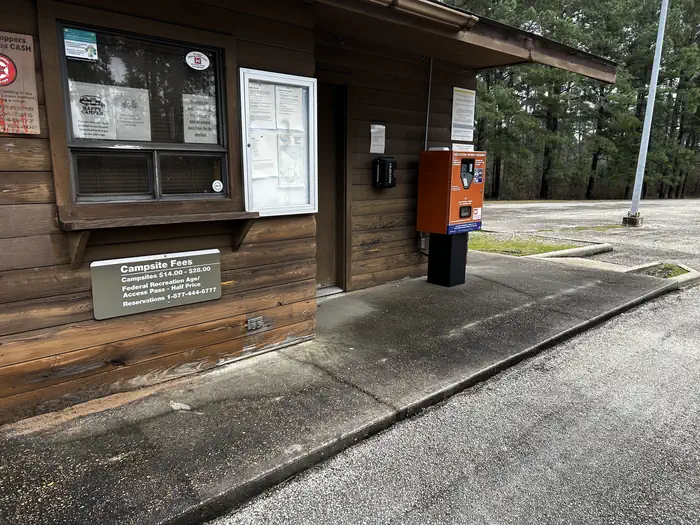
Campground · Fee not listed
Fast facts
- Cost
- Not listed. Check locally.
- Type
- Campground
- Phone
- 409-384-5716
- Coordinates
- 31.1067, -94.1072
- Last verified
- September 19, 2026
About this place
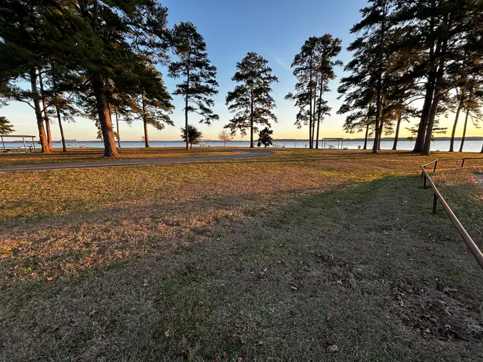
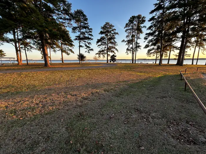
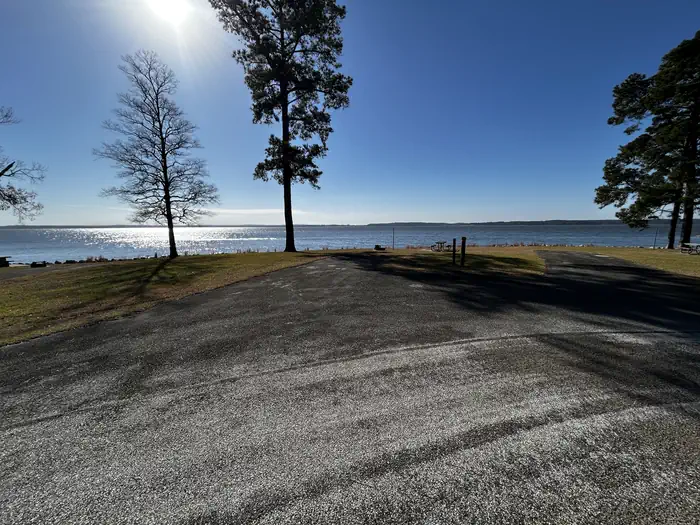
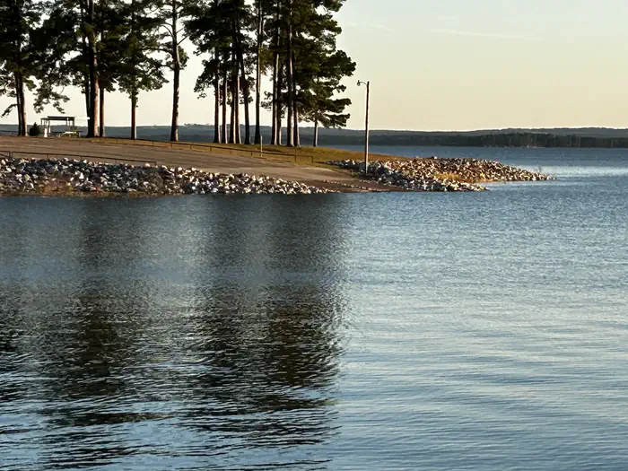
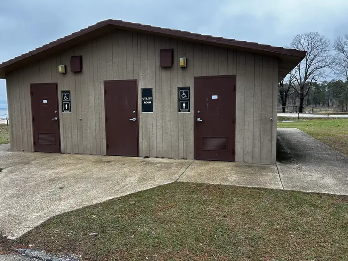
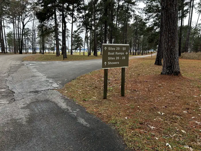
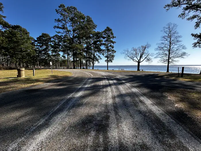
Overview Rayburn Park lies on the north shore of Sam Rayburn Reservoir, a popular family destination with boating and fishing and access to hunting less than a mile away. Sam Rayburn Reservoir and the surrounding Angelina National Forest provide a wintering habitat for the bald eagle. During the winter months, forest visitors may see the bald eagle soaring over the lake, perched on a flooded snag or in a tall pine along the shoreline. Recreation Sam Rayburn Reservoir is well-known for its largemouth bass, with numerous tournaments hosted here each year. Among the most impressive catches ever recorded is a 74-pound Flathead catfish. The lake is also popular for jet skiing, water skiing, swimming and birding. It's used as a feeding and resting grounds for migratory birds on their path to the Gulf Coast. A resident population of wood ducks remains in the forest year-round. Facilities Rayburn park is open year-round and features 16 campsites with water and 50 amp electric hookups. The park also offers 9 non-electric sites, one of which is a group site. Two boat ramps, a swim beach, and a playground are also available within the campground. Natural Features At 114,000 surface acres, Sam Rayburn is the largest man-made lake that is completely within the boundaries of Texas. The reservoir is fed by the Angelina River, a major tributary of the Neches River. The piney woods region boasts native flora like orchids, insect-eating plants and scores of animal species. Nearby Attractions From the eastern edge of the lake, hikers can embark on a 28-mile trail that heads east to the Toledo Bend Reservoir.
From the managing agency.
Is RAYBURN free?
We do not have a fee on record for RAYBURN. Confirm the cost locally before you go.
How do I get to RAYBURN?
RAYBURN is at 31.1067, -94.1072. We do not hold written directions for this one, so navigate to the coordinates.
Nearby
- EBENEZER PARK2.7 mi
- TWIN DIKES3.7 mi
- SAN AUGUSTINE6.6 mi
- MILL CREEK (TEXAS)6.7 mi
- Caney Creek9.1 mi
- Caney Creek Campground9.1 mi
- Boykin Springs Pavilion10.3 mi
- Boykin Springs Campground10.6 mi
No other services within 50 mi on the record.
SourceSource data is agency published. Last synced September 19, 2026. Community reports and photos are submitted by travelers and are not verified by the agency.
