
EBENEZER PARK
Campground · Fee
Fast facts
- Cost
- Fee charged
- Type
- Campground
- Phone
- 409-384-5716
- Coordinates
- 31.0703, -94.1247
- Last verified
- September 19, 2026
About this place
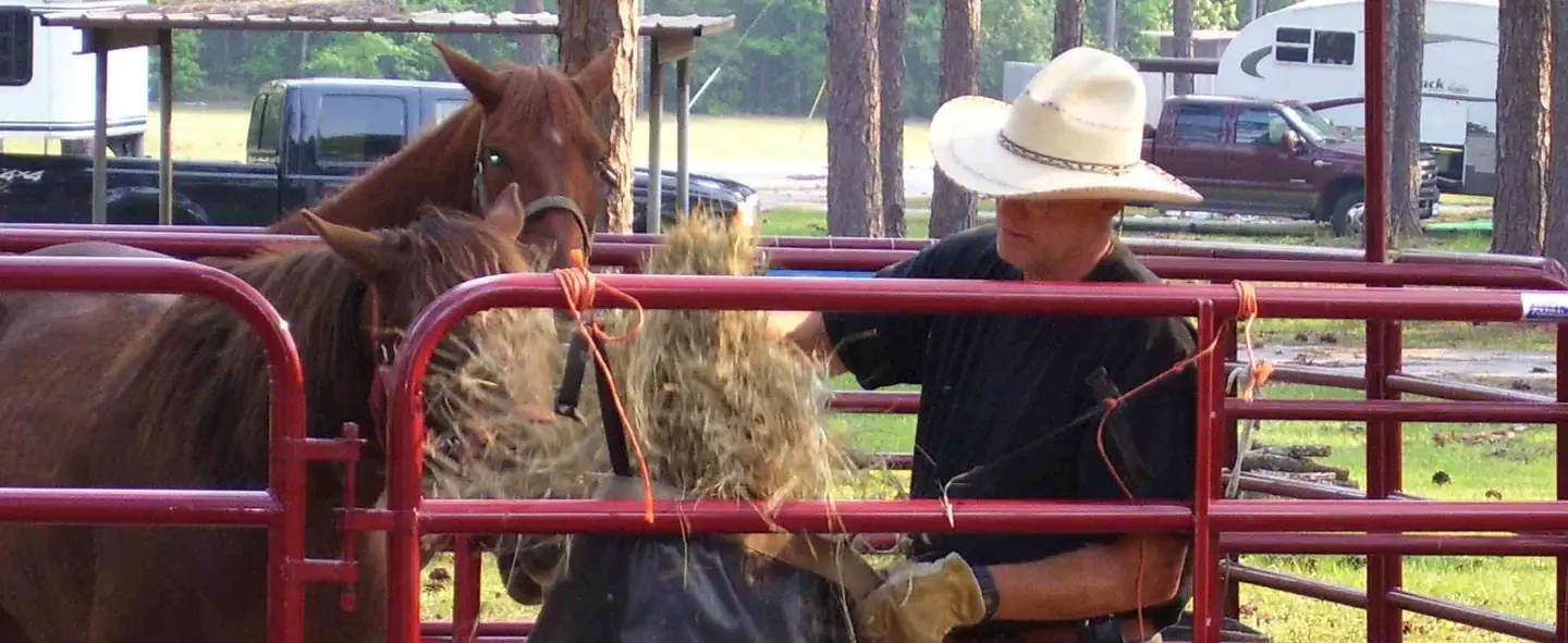
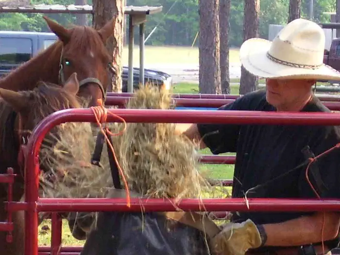
Overview Ebenezer Park features some of the most beautiful horseback riding trails in southeast Texas. It's the only Army Corps of Engineers park on Sam Rayburn Reservoir with equestrian campsites, making it the go-to destination for horse-owners. The horse trail terrain is soft and sandy, so horseshoes are not required. Trails glide over rolling hills through creeks and gullies. Some trails even have beach access, allowing riders and their horses to cool off on a hot day. Note: The horse access beach and majority of the trail system are located on USFS property. Recreation In addition to horseback riding, activities include fishing, picnicking and swimming. Birding is also rewarding, with chances to see resident wood ducks and migratory birds on their journey to and from the Gulf Coast. Facilities Ebenezer caters best to equestrian campers and tent campers. Equestrian sites have electric hookups and horse corrals near each site. Ebenezer Hall, an enclosed building with a full kitchen, A/C and heating, is available for reservation. The designated Day Use swim beach is open seasonally from Apr 1 to Labor Day. The park does not have a boat ramp, and the nearest boat ramp is four miles down at Twin Dikes Park. Natural Features The campground, near the Sam Rayburn Dam, is fully shaded by towering pine trees. The lake is located deep in the woods, bordered by the Angelina National Forest and near the Sabine National Forest. Nearby Attractions The 20,700-acre Bannister Wildlife Management Area is on the northern peninsula of the lake. Here, hikers and bikers can explore the designated Eastern Wild Turkey restoration site.
From the managing agency.
Is EBENEZER PARK free?
No. EBENEZER PARK charges a fee.
How do I get to EBENEZER PARK?
EBENEZER PARK is at 31.0703, -94.1247. We do not hold written directions for this one, so navigate to the coordinates.
Nearby
- RAYBURN2.7 mi
- TWIN DIKES3.9 mi
- Boykin Springs Pavilion8.6 mi
- MILL CREEK (TEXAS)9.0 mi
- Caney Creek9.1 mi
- Caney Creek Campground9.1 mi
- Boykin Springs Campground9.1 mi
- SAN AUGUSTINE9.3 mi
No other services within 50 mi on the record.
SourceSource data is agency published. Last synced September 19, 2026. Community reports and photos are submitted by travelers and are not verified by the agency.
