
MILL CREEK (TEXAS)
Campground · Fee not listed
Fast facts
- Cost
- Not listed. Check locally.
- Type
- Campground
- Phone
- 409-384-5716
- Coordinates
- 31.1514, -94.0064
- Last verified
- September 19, 2026
About this place
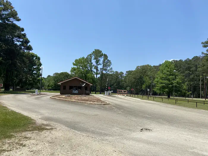
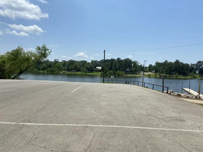
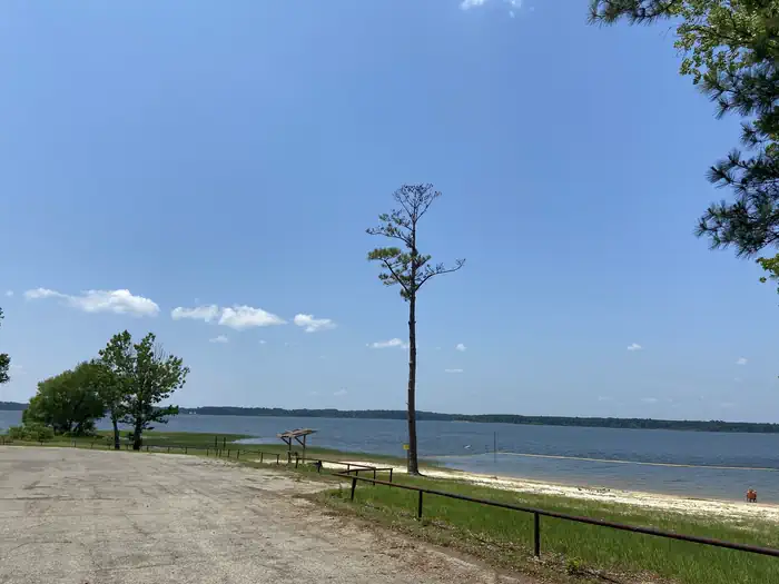
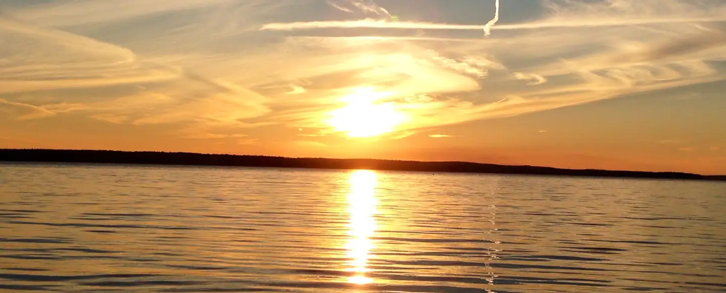
Overview Mill Creek Park is a large, comfortable campground on the Sam Rayburn Reservoir, also known as Lake Sam Rayburn, tucked in the piney woods of southeast Texas. The lake and the surrounding Angelina National Forest, provide a welcoming home for bald eagles in winter. The rare red-cockaded woodpecker also resides in the forest here. Recreation Fishing at the reservoir is wildly popular, with frequent fishing tournaments. Catches include largemouth bass, crappie and catfish. Birding is also big, with chances to see warblers, vireos and other migratory songbirds. A resident population of wood ducks remains in the forest throughout the year. Facilities The park features 110 campsites with water and electric hookups. There's also a group shelter, boat ramp, designated swimming beach (open Apr-Sep), a playground, and volleyball court for family entertainment. Natural Features The campground is on the southeast shores of Sam Rayburn Reservoir. The lake boasts over 114,000 surface acres, making it the largest man-made lake that's completely located in Texas. Nearby Attractions From the eastern edge of the lake, hikers can embark on a 28-mile trail that heads east to the Toledo Bend Reservoir.
From the managing agency.
Is MILL CREEK (TEXAS) free?
We do not have a fee on record for MILL CREEK (TEXAS). Confirm the cost locally before you go.
How do I get to MILL CREEK (TEXAS)?
MILL CREEK (TEXAS) is at 31.1514, -94.0064. We do not hold written directions for this one, so navigate to the coordinates.
Nearby
- SAN AUGUSTINE5.4 mi
- TWIN DIKES6.3 mi
- RAYBURN6.7 mi
- EBENEZER PARK9.0 mi
- Caney Creek14.9 mi
- Caney Creek Campground14.9 mi
- Boykin Springs Pavilion17.0 mi
- Boykin Springs Campground17.3 mi
No other services within 50 mi on the record.
SourceSource data is agency published. Last synced September 19, 2026. Community reports and photos are submitted by travelers and are not verified by the agency.
