
Boykin Springs Pavilion
Campground · Fee not listed
Fast facts
- Cost
- Not listed. Check locally.
- Type
- Campground
- Phone
- 936-897-1068
- Coordinates
- 31.0519, -94.2680
- Last verified
- September 19, 2026

About this place
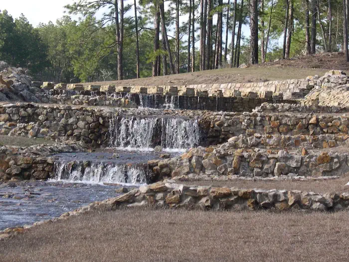
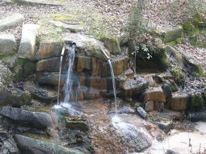
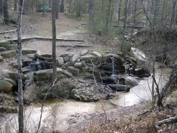
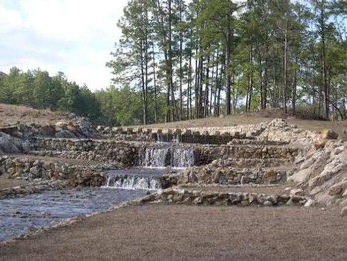
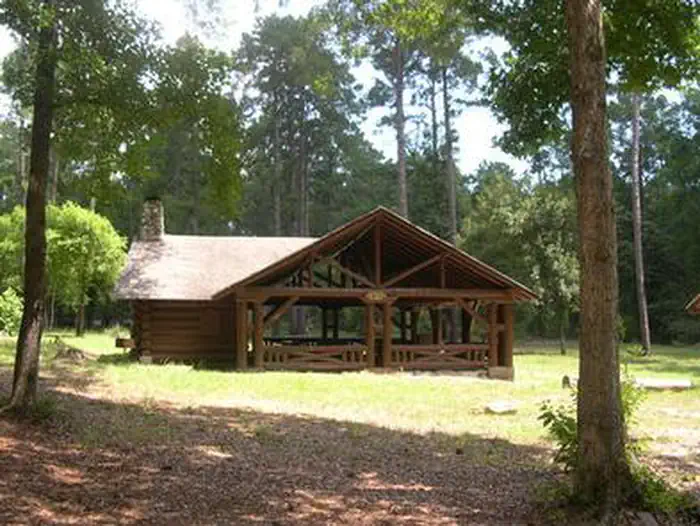
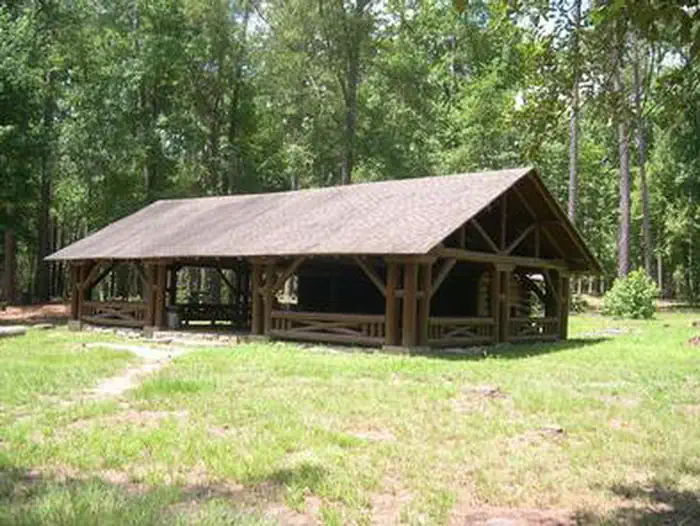
Overview Located on Boykin Springs Lake in Angelina National Forest, this recreation area offers a little of everything, including camping, hiking, fishing, picnicking and relaxing in nature. It is situated in eastern Texas near the Louisiana border. The facility has both a campground and day-use area. The group shelter must be reserved; the campground is first-come, first-served. Recreation The group picnic area provides direct access to the Sawmill Trail, a hiking trail that winds through the forest to the Aldridge Sawmill Historical Site. Activities: fishing, no designated swimming area, hiking trail From US 69: SH 63 SE 11 miles; FSR 313 S 2.5 miles. 936-897-1068; recreation.gov 31.05186, -94.26804 Facilities The group picnic shelter accommodates up to 74 guests and is available for reservation. It is adjacent to the hiking trail and creek. The campground has several standard sites for tents and RVs, as well as a few tent-only sites. Drinking water, flush toilets and hot showers are available at the campground. Campsites: All campsites are first come, first served; 17 campsites No electric or water. Back-in campers and tents; campsite can accommodate up to 23 ft. in length Camping Fee: $10; 14 days camping limit; up to 2 tents;8 people per site Day Use Shelter available for Reservation: 877-444-6777 or through website (www.Recreation.gov) Natural Features Boykin Creek and the nine-acre Boykin Springs Lake both pass through the facility, and the Sam Rayburn Reservoir is nearby. The area is forested with pines and hardwoods. Wildlife is abundant, and the region is a hot spot for migratory birds. Nearby Attractions Aldridge Sawmill Historical Site Sam Rayburn Reservoir
From the managing agency.
Is Boykin Springs Pavilion free?
We do not have a fee on record for Boykin Springs Pavilion. Confirm the cost locally before you go.
How do I get to Boykin Springs Pavilion?
Boykin Springs Pavilion is at 31.0519, -94.2680. We do not hold written directions for this one, so navigate to the coordinates.
Nearby
- Boykin Springs Campground0.8 mi
- Caney Creek5.9 mi
- Caney Creek Campground5.9 mi
- EBENEZER PARK8.6 mi
- RAYBURN10.3 mi
- TWIN DIKES12.5 mi
- MAGNOLIA RIDGE12.9 mi
- SAN AUGUSTINE15.1 mi
No other services within 50 mi on the record.
SourceSource data is agency published. Last synced September 19, 2026. Community reports and photos are submitted by travelers and are not verified by the agency.
