
MAGNOLIA RIDGE
Campground · Fee not listed
Fast facts
- Cost
- Not listed. Check locally.
- Type
- Campground
- Phone
- 1 (877) 444-6777
- Coordinates
- 30.8667, -94.2375
- Last verified
- September 19, 2026


About this place
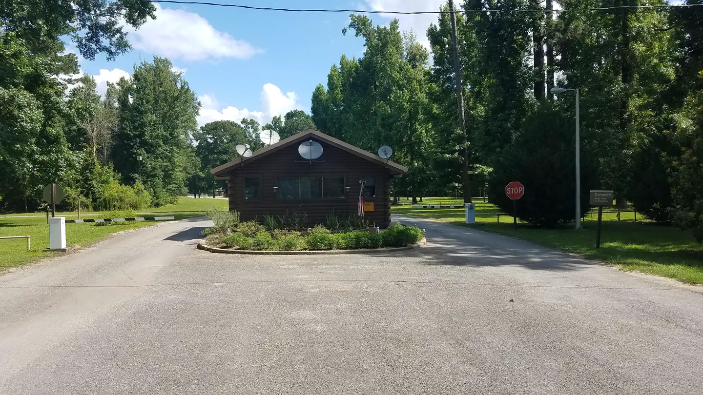
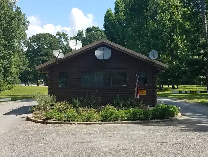
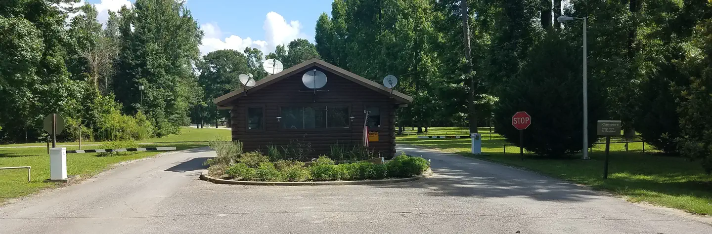
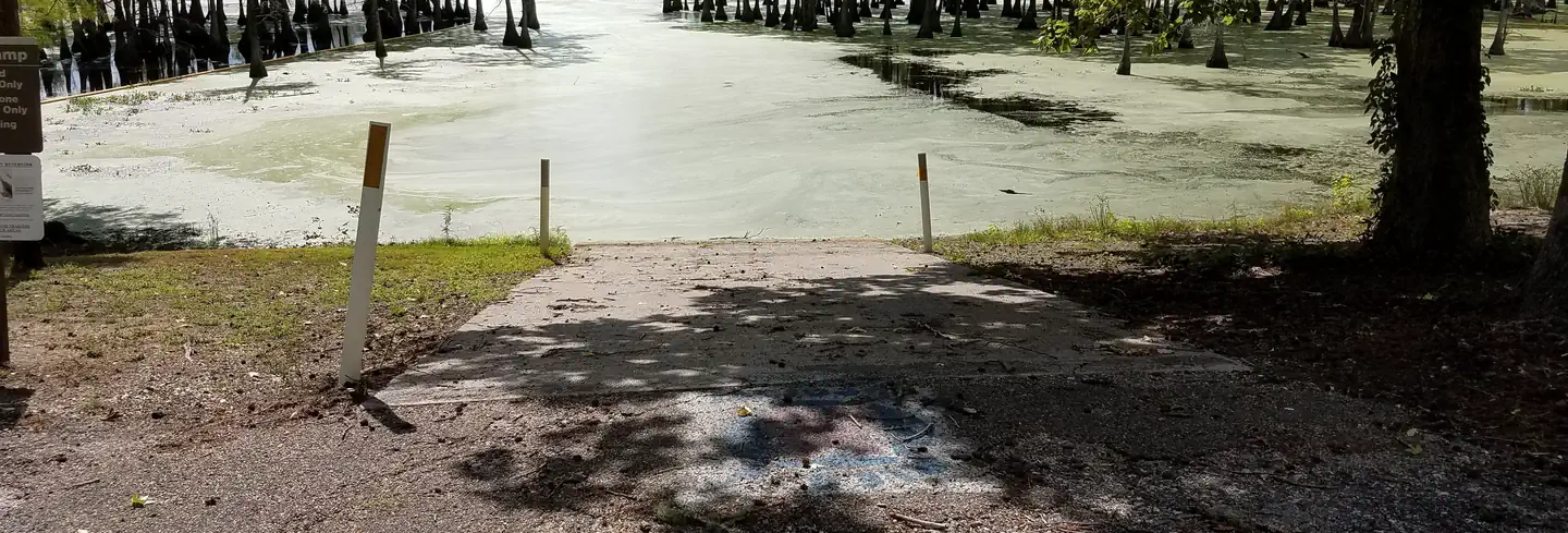
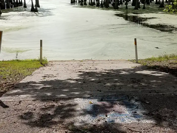
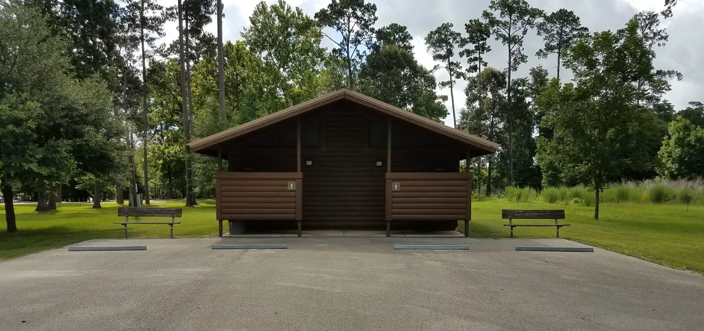
Overview Magnolia Ridge Park is located on the northwest side of B.A. Steinhagen Lake, between the towns of Woodville and Jasper, Texas. The lake provides a great getaway for fishing, boating, picnicking, camping and birding. Recreation B.A. Steinhagen Lake is a prime location for boating, canoeing, fishing and wildlife viewing. Several parks with boat ramps and docks are scattered around the lake, including facilities within Magnolia Ridge. Fishing is a popular pastime. Largemouth bass, catfish and crappie are the primary sport species found in the lake. Younger anglers love the Kid's Fish Pond within Magnolia Ridge, and Kid's Fish Day is held annually in June. The road system within Magnolia Ridge Park offers excellent family biking opportunities for 3-5 mile rides. A playground is also located on-site. Facilities Magnolia Ridge Park is a year-round campground that offers 41 reservable campsites, 39 of which have water and electric hookups. Other facilities include a group day-use picnic shelter and group overnight shelter, both with electric hookups. Flush toilets, showers and a dump station are provided. Natural Features The lake lies in the heart of the East Texas Pineywoods, a beautiful region known for its pine uplands, bottomland hardwoods and pine-hardwood mixed forests, which provide habitat for a wide range of wildlife. White-tailed deer, squirrels, rabbits, red and gray fox, bobwhite quail and numerous species of ducks, geese, waterfowl and songbirds make their home in the area. Nearby Attractions The Angelina-Neches/Dam B Wildlife Management Area is nearby, covering nearly 13,000 acres. The area boasts beautiful mature hardwoods, including cypress, sweet gum and red and water oak. Some areas feature stands of loblolly and shortleaf pine. Visitors have the opportunity to hunt, fish, hike and view wildlife in this extraordinary ecosystem. Charges & Cancellations General Policy No Refunds are given at the field location Individual Campsites If a customer cancels a campsite reservation within 14 days of their scheduled arrival they shall be charged a $10.00 service fee and forfeit the first night's use fee.
From the managing agency.
Is MAGNOLIA RIDGE free?
We do not have a fee on record for MAGNOLIA RIDGE. Confirm the cost locally before you go.
How do I get to MAGNOLIA RIDGE?
MAGNOLIA RIDGE is at 30.8667, -94.2375. We do not hold written directions for this one, so navigate to the coordinates.
Nearby
- BLUFFVIEW PARK6.0 mi
- SANDY CREEK6.2 mi
- Boykin Springs Pavilion12.9 mi
- Boykin Springs Campground13.5 mi
- EBENEZER PARK15.5 mi
- TWIN DIKES17.7 mi
- RAYBURN18.3 mi
- Caney Creek18.6 mi
No other services within 50 mi on the record.
SourceSource data is agency published. Last synced September 19, 2026. Community reports and photos are submitted by travelers and are not verified by the agency.
