
Walnut Creek
Campground · Fee not listed
Fast facts
- Cost
- Not listed. Check locally.
- Type
- Campground
- Phone
- 918-865-2621
- Coordinates
- 36.2528, -96.2800
- Last verified
- September 19, 2026




About this place
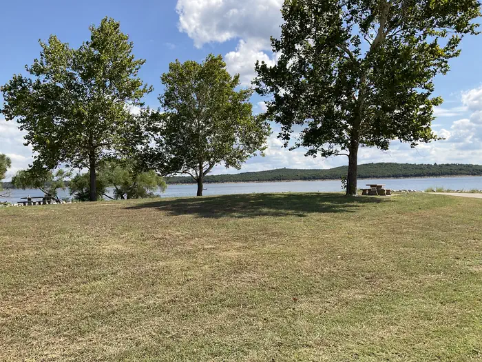
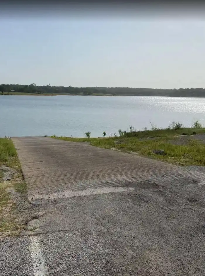
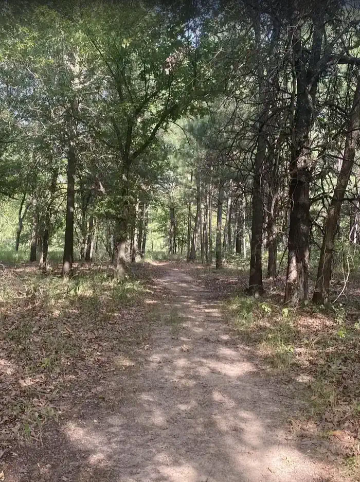
Overview Nestled along the north shore of Keystone Lake, Walnut Creek Recreation Area is surrounded by sandy beaches, high bluffs, native grasses, rock outcrops and rolling hills, making it the ideal retreat for fun and quiet relaxation. Along with camping, boating, and day use opportunities, the park also includes 17 miles of trail for hiking and equestrian access. Recreation The park has camping, swimming, boat ramp, and 17 miles of hiking/equestrian trails. Facilities The park features 2 dump stations, 30 and 50 amp electrical service at campsites and water hookups. The campground has restroom/shower facility, backstop, and boat ramp. Walnut Creek's Sand Plum Trail is approximately 17 miles in length, crossing flat to rolling terrain, and affords many vistas of Keystone Lake. The trail is available to hikers, equestrians, and mountain bike enthusiasts. Trail users are advised to stay on designated trails; quicksand may occur along lakeshore. Natural Features Walnut Creek has numerous sandy beaches, rolling hills, native tall grasses, and pine forest. Nearby Attractions Keystone Ancient Forest Woolaroc Museum and Wildlife Preserve
From the managing agency.
Is Walnut Creek free?
We do not have a fee on record for Walnut Creek . Confirm the cost locally before you go.
How do I get to Walnut Creek ?
Walnut Creek is at 36.2528, -96.2800. We do not hold written directions for this one, so navigate to the coordinates.
Nearby
- WASHINGTON IRVING SOUTH3.9 mi
- Appalachia Bay Recreation Area4.5 mi
- Brush Creek Public Use Area7.3 mi
- TWIN POINTS9.7 mi
- TALL CHIEF COVE10.1 mi
- BIRCH COVE20.5 mi
- SHEPPARD POINT20.5 mi
- TWIN COVE POINT20.8 mi
No other services within 50 mi on the record.
SourceSource data is agency published. Last synced September 19, 2026. Community reports and photos are submitted by travelers and are not verified by the agency.
