
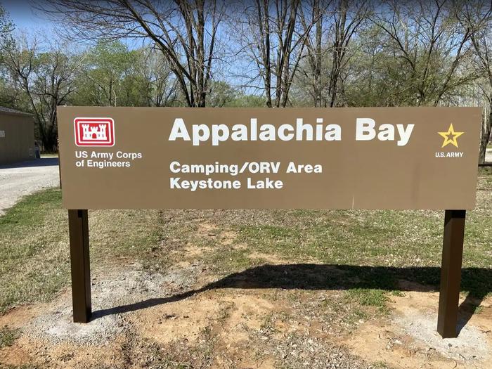
Appalachia Bay Recreation Area
Campground · Fee not listed
Fast facts
- Cost
- Not listed. Check locally.
- Type
- Campground
- Phone
- 918-865-2621
- Coordinates
- 36.1875, -96.2903
- Last verified
- September 19, 2026



About this place
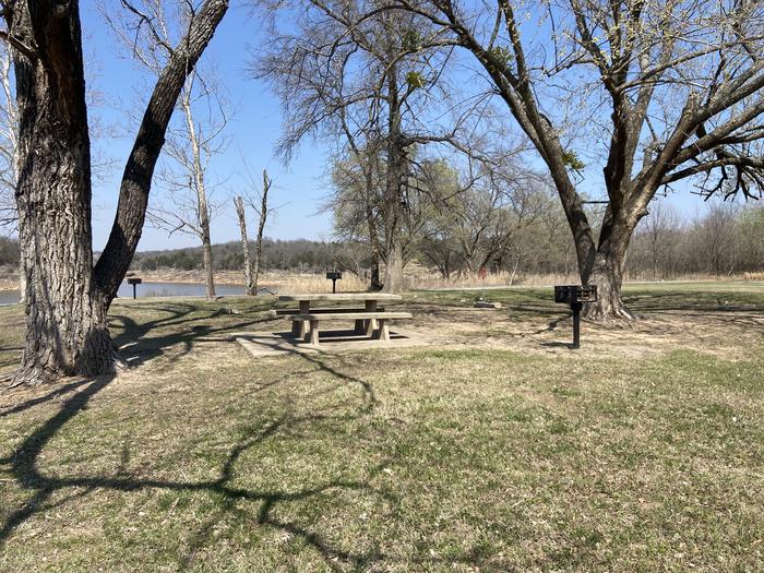
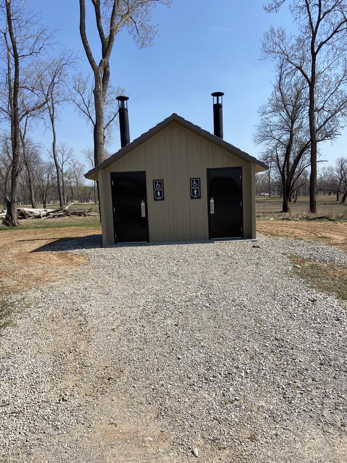
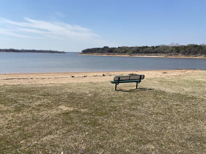
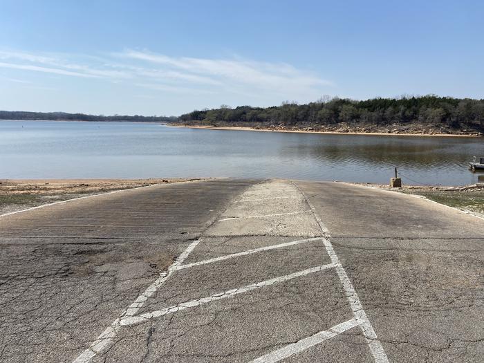
Overview Welcome to Appalachia Bay! Located south of US 412 just 20 miles west of Tulsa, this park features a boat ramp, camping, fishing and other water sports, and a 400 acre off road park. The lake's blue-green water, beautiful natural surroundings and wide variety of recreational opportunities make it a popular destination for year-round fun. Recreation Keystone Lake is a prime location for boating, water skiing, swimming and fishing. The lake is noted for its striped, sand, black and smallmouth bass, crappie and catfish. Downstream fisheries are accessible at nearby Whitewater and Brush Creek Parks. Appalachia Bay contains a 400 acre off road park, for Off Road Vehicles 64" wide or smaller. It also features a boat ramp, courtesy dock, fishing dock, and 24 campsites. Facilities This campground features 24 reservable campsites, most with 30 and 50 amp electrical services, water hookups, picnic tables, fire rings, and grills. This park also offers a restroom/shower facility, drinking water, and dump station. Additionally there is a boat ramp with parking, day use area with picnic tables, and a 400 acre off road park. Natural Features Keystone Lake is settled into many small valleys and contains almost 26,000 surface acres. Its 330 miles of shoreline are covered with bottomland timber and post oak, blackjack oak and prairie fields, which provide habitat for a variety of wildlife, including deer, squirrel, rabbit, quail, dove and waterfowl. Nearby Attractions Washington Irving South Recreation Area offers tent or RV camping with a playground in the day use area as well as a 1-mile out-and-back hiking trail. Brush Creek Recreation Area offers quiet camping below the dam with excellent fishing opportunities, a paved 1-mile fitness trail, basketball and sand volleyball courts. Walnut Creek Park, on the Arkansas River, has a variety of camping areas, day use areas, and 17 miles of multi-use/equestrian trails. Please note Off Road Vehicle use is not allowed at Walnut Creek. Whitewater, located below Keystone Dam on the south side of the river, is an off roading destination. There is no width restriction in this area, it is used by many Jeeps and trucks as well as ORVs. Keystone Ancient Forest is a unique old-growth forest preserve. It features many miles of hiking trails. The park is operated by the City of Sand Springs, and dogs are welcome on select days.
From the managing agency.
Is Appalachia Bay Recreation Area free?
We do not have a fee on record for Appalachia Bay Recreation Area. Confirm the cost locally before you go.
How do I get to Appalachia Bay Recreation Area?
Appalachia Bay Recreation Area is at 36.1875, -96.2903. We do not hold written directions for this one, so navigate to the coordinates.
Nearby
- WASHINGTON IRVING SOUTH1.9 mi
- Brush Creek Public Use Area3.5 mi
- Walnut Creek 4.5 mi
- TALL CHIEF COVE13.2 mi
- TWIN POINTS14.2 mi
- SHEPPARD POINT16.0 mi
- HEYBURN PARK16.7 mi
- BIRCH COVE25.0 mi
No other services within 50 mi on the record.
SourceSource data is agency published. Last synced September 19, 2026. Community reports and photos are submitted by travelers and are not verified by the agency.
