
SHEPPARD POINT
Campground · Fee not listed
Fast facts
- Cost
- Not listed. Check locally.
- Type
- Campground
- Phone
- 918-865-2621
- Coordinates
- 35.9569, -96.3153
- Last verified
- September 19, 2026

About this place
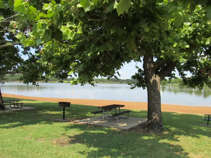
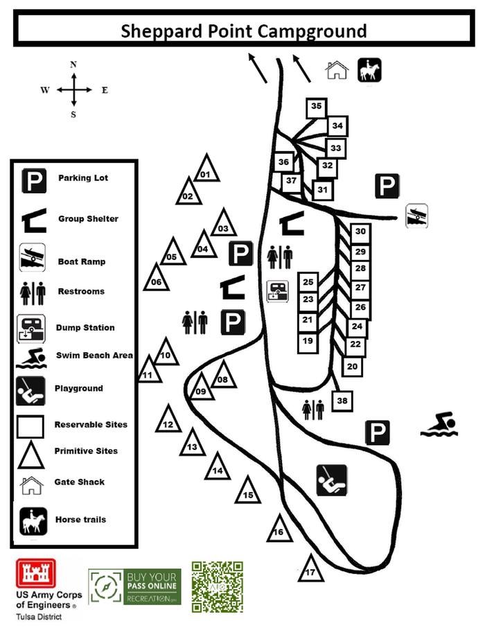
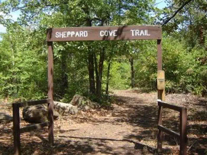
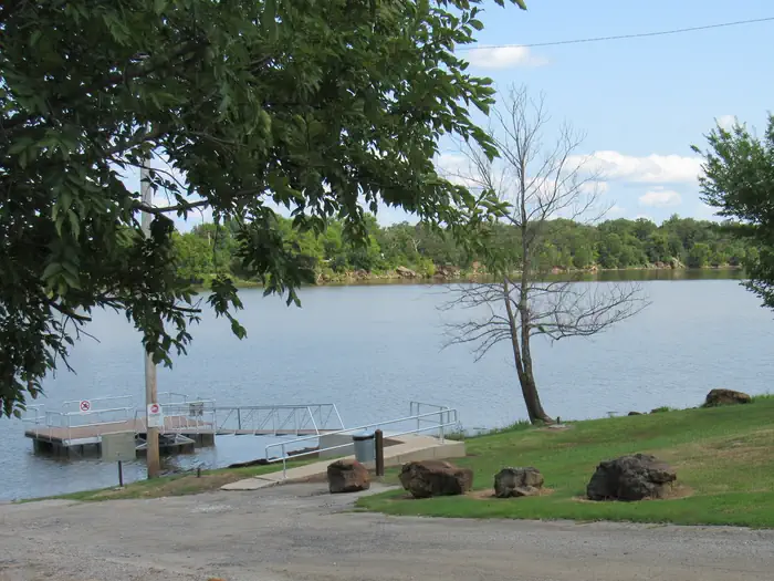
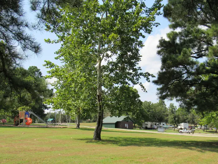
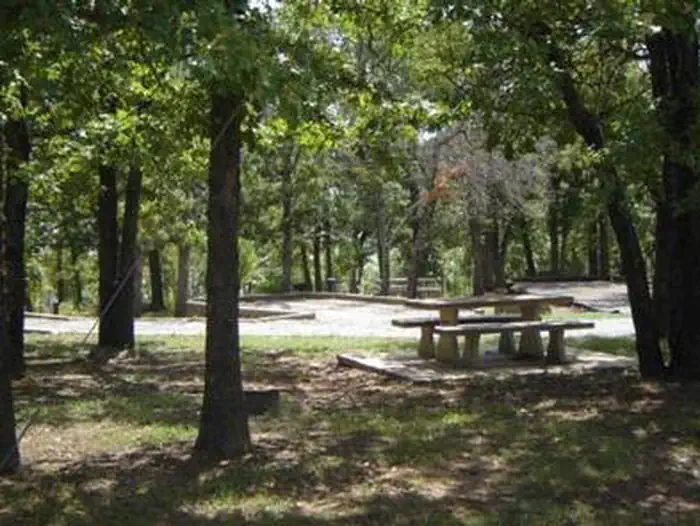
Overview Sheppard Point is an excellent destination for access to Oklahoma's Heyburn Lake and taking advantage of hiking and sightseeing on the multi-use nature trail. Sheppard Point offers a handful of equestrian-friendly sites where horses can be kept behind the sites on tether poles, with direct access to the trail system. Recreation Picnicking, horseback riding, hiking, fishing, water skiing, boating, swimming are some of the favorite activities at Heyburn Lake. Anglers catch catfish, bass and crappie while hunters seek white-tailed deer and wild turkey. Facilities Sheppard Point has a selection of both tent and RV campsites. Perks include hot showers, a boat ramp, playground, swim beach and multi-use trail to the perks. Group picnic shelters are available as well. Natural Features Heyburn Lake lies in the Sandstone Hills of the Osage Section of Oklahoma's central lowlands. The picturesque setting of grasslands and gently sloping, wooded hills, provides a stunning backdrop for recreation in the area. The area is mostly forested with oaks, blackjack, and the occasional hickory, ash, elm or cottonwood tree. In spring, flowering wild plum and redbud trees add color to the soft, green landscape. Contact Info For local information, please call (918) 247-6391 or call (918) 865-2621 for general information. Nearby Attractions Visitors can explore the various parks at Heyburn Lake including Sunset Bay, Overlook and Heyburn Park. Keystone Lake lies about 20 miles to the north. Tulsa is less than 30 miles to the northeast.
From the managing agency.
Is SHEPPARD POINT free?
We do not have a fee on record for SHEPPARD POINT. Confirm the cost locally before you go.
How do I get to SHEPPARD POINT?
SHEPPARD POINT is at 35.9569, -96.3153. We do not hold written directions for this one, so navigate to the coordinates.
Nearby
- HEYBURN PARK0.9 mi
- Brush Creek Public Use Area13.9 mi
- Appalachia Bay Recreation Area16.0 mi
- WASHINGTON IRVING SOUTH17.0 mi
- Walnut Creek 20.5 mi
- TALL CHIEF COVE27.4 mi
- TWIN POINTS30.0 mi
- BIRCH COVE40.7 mi
No other services within 50 mi on the record.
SourceSource data is agency published. Last synced September 19, 2026. Community reports and photos are submitted by travelers and are not verified by the agency.
