
TWIN POINTS
Campground · Fee not listed
Fast facts
- Cost
- Not listed. Check locally.
- Type
- Campground
- Phone
- 918-396-1376
- Coordinates
- 36.3842, -96.2178
- Last verified
- September 19, 2026
About this place
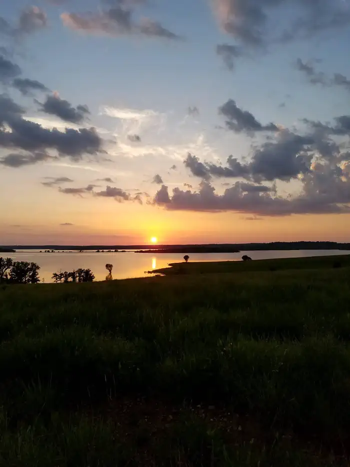
Overview Located on beautiful Skiatook Lake in northeast Oklahoma, Twin Points is the most recently constructed campground of its size in the region. The campground sits along the forested lakeshore, and visitors can enjoy boating, swimming, fishing and picnicking from the facility. Skiatook Lake is located on Hominy Creek in Osage County. Recreation This park has a nearby swim beach and boat ramp, and it is a favorite among hikers. Sport fishing for largemouth bass, black and white crappie, channel catfish and several species of sunfish offers anglers many hours of enjoyment on the lake. About 6,000 acres of public land in the lake area are open to hunters wishing to pursue whitetail, quail, rabbit and squirrel. Facilities The campground includes nearly 50 newly constructed sites with 50-amp electrical pedestals, paved roads and an accessible shower and restroom building. Families enjoy the convenience of a swim beach and playground within the facility. Natural Features The Twin Points area is made up of large expanses of tall grass prairie and rolling hills of oak and hickory trees. The shoreline is accentuated by steep picturesque bluffs which offer views of the water.
From the managing agency.
Is TWIN POINTS free?
We do not have a fee on record for TWIN POINTS. Confirm the cost locally before you go.
How do I get to TWIN POINTS?
TWIN POINTS is at 36.3842, -96.2178. We do not hold written directions for this one, so navigate to the coordinates.
Nearby
- TALL CHIEF COVE6.9 mi
- Walnut Creek 9.7 mi
- BIRCH COVE10.8 mi
- TWIN COVE POINT11.1 mi
- WASHINGTON IRVING SOUTH13.0 mi
- Appalachia Bay Recreation Area14.2 mi
- Brush Creek Public Use Area16.2 mi
- SHEPPARD POINT30.0 mi
No other services within 50 mi on the record.
SourceSource data is agency published. Last synced September 19, 2026. Community reports and photos are submitted by travelers and are not verified by the agency.
