
Rock Creek Recreation Area (Cherokee National Forest, TN)
Campground · Fee not listed
Fast facts
- Cost
- Not listed. Check locally.
- Type
- Campground
- Phone
- 423-638-4109
- Nearest dump station
- Cosby RV Sanitary Station · 55.0 mi
- Coordinates
- 36.1377, -82.3476
- Last verified
- September 19, 2026
About this place
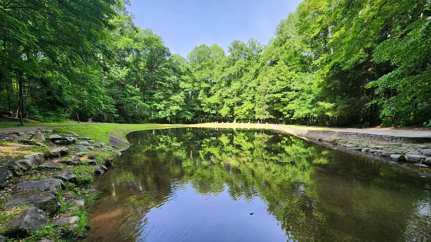
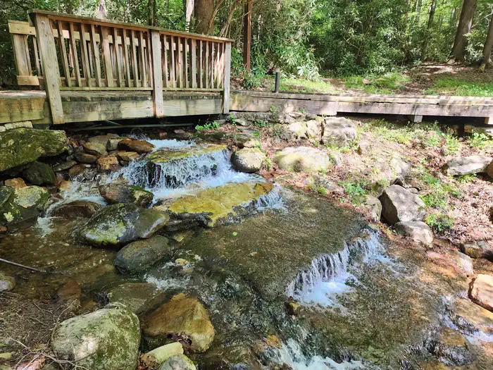
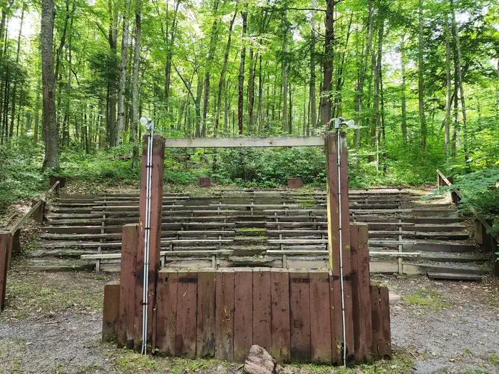
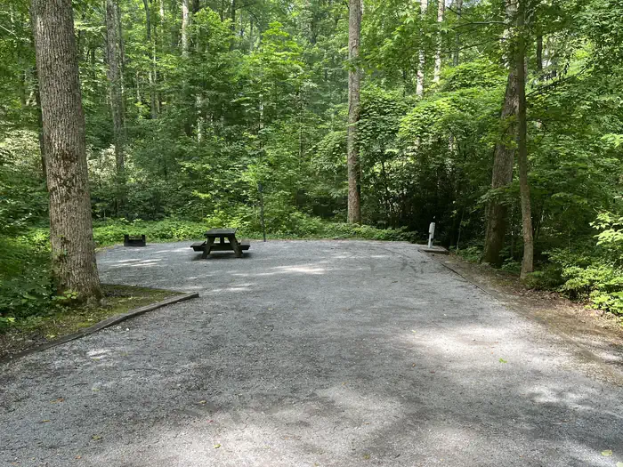
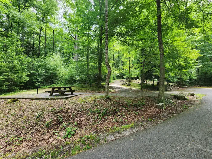
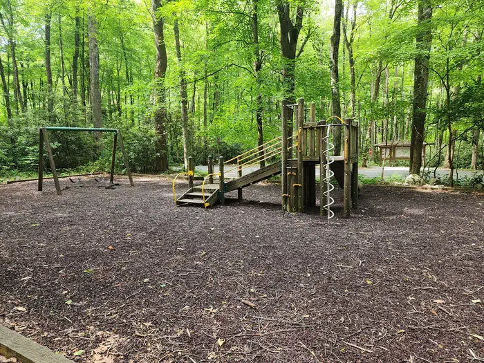
Overview Rock Creek Recreation Area is named for the small creek that runs alongside this recreation site. The facilities, creek-fed concrete pond and bathhouse were originally built by the Civilian Conservation Corps in the early 1930s. It is located just outside the town of Erwin, TN at an elevation of 2,300 feet - a welcome respite from the summer heat. Be Bear Wise: Food storage compliance is strictly enforced. Store all food and trash in hard-sided containers and vehicles while not in use. Never have attractants in your tent. Violations of the food storage order are ticketable offenses and subject to fines. Food and trash left unattended will be impounded by campground staff. Recreation Hike on one (or all) of the trails adjacent to Rock Creek Recreation Area. Visitors can enjoy cooling off in the creek-fed concrete pond. Younger children can enjoy the playground located in the day use area of the recreation area. Campground programs are offered every Friday night in July at the amphitheater. Facilities There are 27 fully accessible single and five double campsites in Rock Creek Recreation Area; all with electric hook-ups. In addition, there are five walk-in tent sites without electric hookups, which are available first-come, first served only. Three bathhouses are located within the recreation area; one in Loop A, one in Loop C, and one located by the concrete pond - it is a Civilian Conservation Corps-era bathhouse adapted for modern use. Each bathhouse has flush toilets and shower facilities. A dump station is located on site. An on-site host is located in the campground. Natural Features Campsites are nestled in a cove hardwood forest. Adjacent to the campground is Unaka Mountain Wilderness area, a rugged and undeveloped area. Nearby Attractions The Appalachian Trail crosses TN 395 at Indian Grave Gap, 3.1 miles east of Rock Creek. Mountain Balds, Beauty Spot and Unaka Mountain Overlook are located nearby along Forest Service Road #230. Whitewater rafting on the Nolichucky River is provided by private companies located in Erwin, TN.
From the managing agency.
Is this site free?
We do not have a fee on record for this site. Confirm the cost locally before you go.
How do I get to this site?
this site is at 36.1377, -82.3476. We do not hold written directions for this one, so navigate to the coordinates.
Nearby
SourceSource data is agency published. Last synced September 19, 2026. Community reports and photos are submitted by travelers and are not verified by the agency.
