
Horse Creek Pavilion DAY USE
Campground · Fee not listed
Fast facts
- Cost
- Not listed. Check locally.
- Type
- Campground
- Phone
- (423)638-4109
- Nearest dump station
- Cosby RV Sanitary Station · 39.4 mi
- Coordinates
- 36.1092, -82.6572
- Last verified
- September 19, 2026
About this place
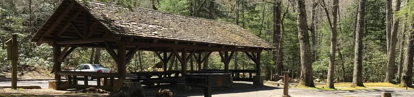
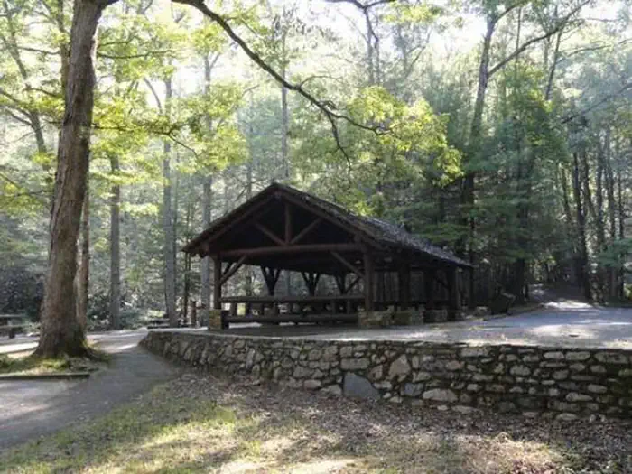
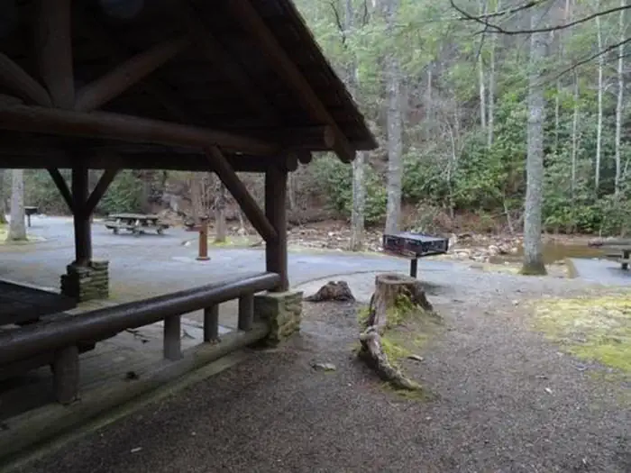
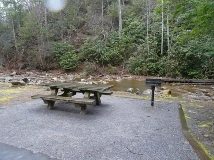
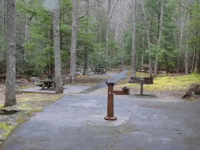
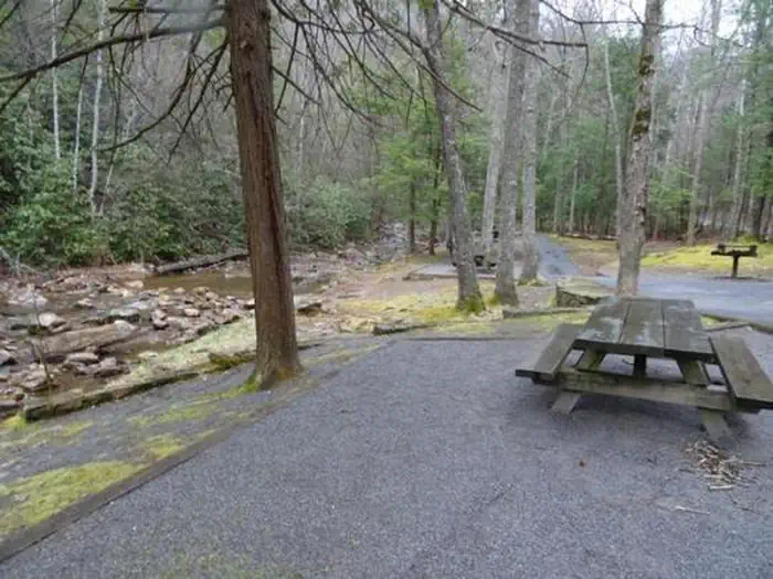
Overview Horse Creek Pavilion is located eight miles from Greeneville, Tennessee. It is nestled into a hardwood cove beside its namesake, Horse Creek. The Civilian Conservation Corps (CCC) constructed the pavilion during the 1930s. Recreation Hiking, water-play and fishing are popular activities. Scarlet Oak Trail (#181) is a .2 mile leg-stretcher through the forest bordering the recreation area. A more primitive hiking experience is available on three trails located in the nearby Sampson Mountain Wilderness. A small campground and more picnic sites are located in Horse Creek Recreation Area. Facilities The picnic pavilion has three tables and a paved parking area nearby. A large grill and water source is located at the pavilion. Additional tables are located nearby, as are trash containers and a pit toilet. The walkways and many of the sites are accessible; however the restroom has limited accessibility. Natural Features Horse Creek Pavilion is located close to Horse Creek and adjacent to Sampson Mountain Wilderness. It is located at the base of the Bald Mountains at an elevation of 1,720 feet. Contact Info For facility specific information, please call (423) 638-4109. Nearby Attractions Horse Creek is located near historic Greeneville, Tennessee, home of Andrew Johnson, 17th President of the U.S. Tusculum College is located nearby. Founded in 1794, it is the oldest College in Tennessee. The Andrew Johnson Homestead and several museums are located in Greeneville/Tusculum. Hotels, restaurants, grocery stores and gas stations are nearby.
From the managing agency.
Is Horse Creek Pavilion DAY USE free?
We do not have a fee on record for Horse Creek Pavilion DAY USE. Confirm the cost locally before you go.
How do I get to Horse Creek Pavilion DAY USE?
Horse Creek Pavilion DAY USE is at 36.1092, -82.6572. We do not hold written directions for this one, so navigate to the coordinates.
Nearby
SourceSource data is agency published. Last synced September 19, 2026. Community reports and photos are submitted by travelers and are not verified by the agency.
