
DENNIS COVE CAMPGROUND
USFS · Campground · Fee
Fast facts
- Cost
- Fee charged
- Managed by
- USFS
- Type
- Campground
- Hours
- Check in: 2:00 p.m.; Check-out: 12:00 p.m.; Quiet hours are 10:00 p.m. until 6:00 a.m.
- Reservations
- recreation.gov
- Phone
- 423-735-1500
- Nearest dump station
- Cosby RV Sanitary Station · 70.5 mi
- Coordinates
- 36.2572, -82.1108
- Last verified
- September 19, 2026

About this place
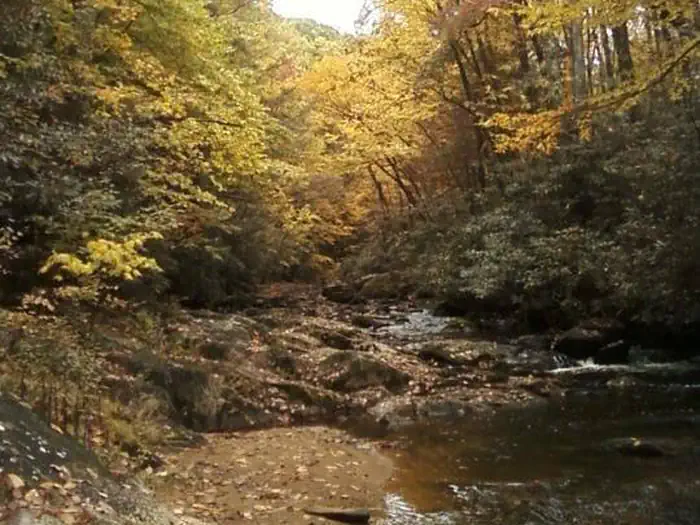
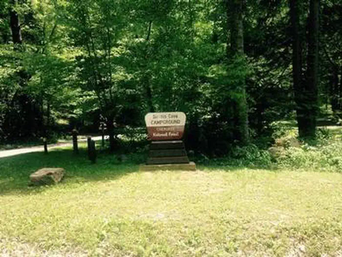
Overview Dennis Cove Campground is a secluded campground along Laurel Fork Creek at an elevation of 2,650 feet in Carter County. This remote developed campground is popular with those seeking a rustic experience. The altitude, creek side location and lush forest surroundings make Dennis Cove particularly desirable during hot summer months. With 15 campsites, Dennis Cove is a great option for family camping. Recreation Along with camping, Laurel Fork Creek is stocked with rainbow trout below the campground. Above the campground, the creek and its tributaries are managed as wild trout streams for brown, rainbow and brook trout. Laurel Fork Trail (#39) follows the creek upstream for 8.0 miles with twenty-six stream crossings. The Appalachian National Scenic Trail is accessed one mile west of the campground along Dennis Cove Rd, or at the top of the nearby Coon Den Falls Trail (#37). Facilities There are 15 single campsites, including two double sites within Dennis Cove Campground. The campground has flush toilets. Each site contains a table, fire ring and lantern holder. Natural Features Dennis Cove Campground is located along the beautiful Laurel Fork Creek nestled in the mountains of the Southern Appalachians. Nearby Attractions The trailhead for Coon Den Falls Trail (#37) is next to Dennis Cove Campground, and the trailhead for the Appalachian National Scenic Trail (#1) is approximately one mile west of the campground on Dennis Cove Rd. Watauga Lake is approximately 25 minutes away.
From the USFS.Official page
Is DENNIS COVE CAMPGROUND free?
No. DENNIS COVE CAMPGROUND charges a fee. It is managed by the USFS. Sites are reservable through recreation.gov.
How do I get to DENNIS COVE CAMPGROUND?
From US 321/TN 67 in Hampton - Turn onto Dennis Cove Road (Forest Road 50). Travel 5.0 miles to Dennis Cove Recreation Area. This road is steep and windy, with lots of switchbacks.
Nearby
- CARDENS BLUFF CAMPGROUND3.6 mi
- WATAUGA POINT RECREATION AREA4.6 mi
- THE LAURELS PICNIC AREA PAVILIONS8.8 mi
- Rock Creek Recreation Area (Cherokee National Forest, TN)15.6 mi
- Rock Creek Campground15.7 mi
- LITTLE OAK CAMPGROUND18.3 mi
- Julian Price Park Campground21.5 mi
- Jacobs Creek Campground (TN)21.9 mi
- Cosby RV Sanitary Station70.5 mi
SourceData from the USFS. Last synced September 19, 2026. Community reports and photos are submitted by travelers and are not verified by the agency.
