
THE LAURELS PICNIC AREA PAVILIONS
Campground · Fee not listed
Fast facts
- Cost
- Not listed. Check locally.
- Type
- Campground
- Phone
- 423-735-1500
- Nearest dump station
- Cosby RV Sanitary Station · 62.7 mi
- Coordinates
- 36.2489, -82.2683
- Last verified
- September 19, 2026
About this place
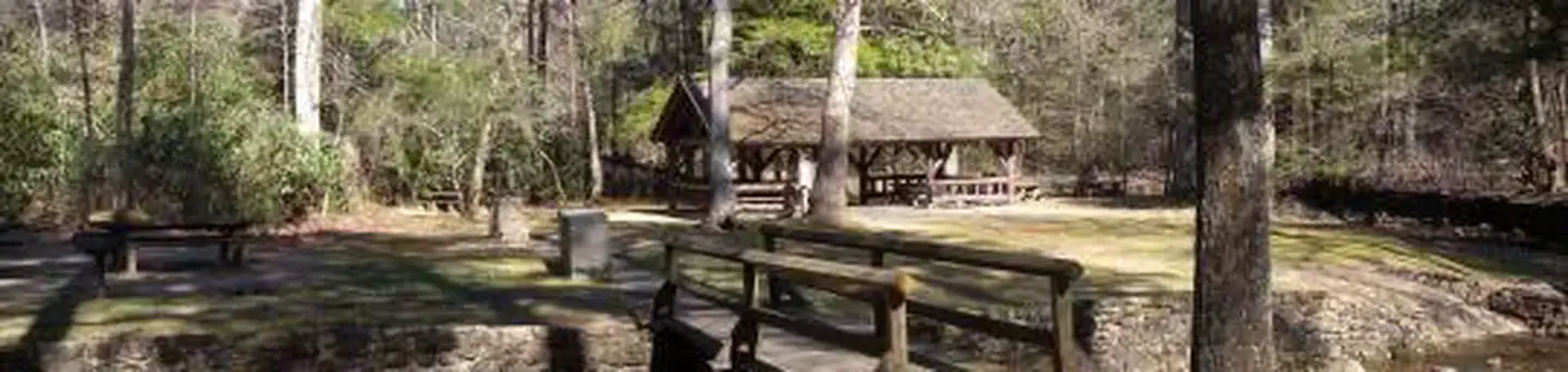
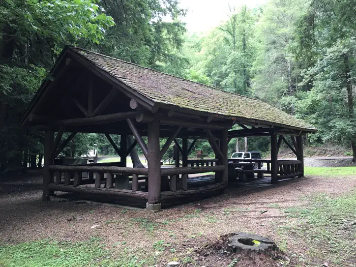
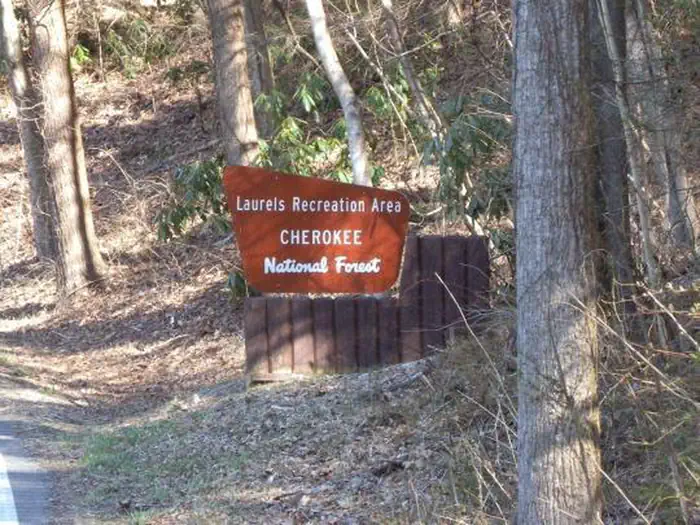
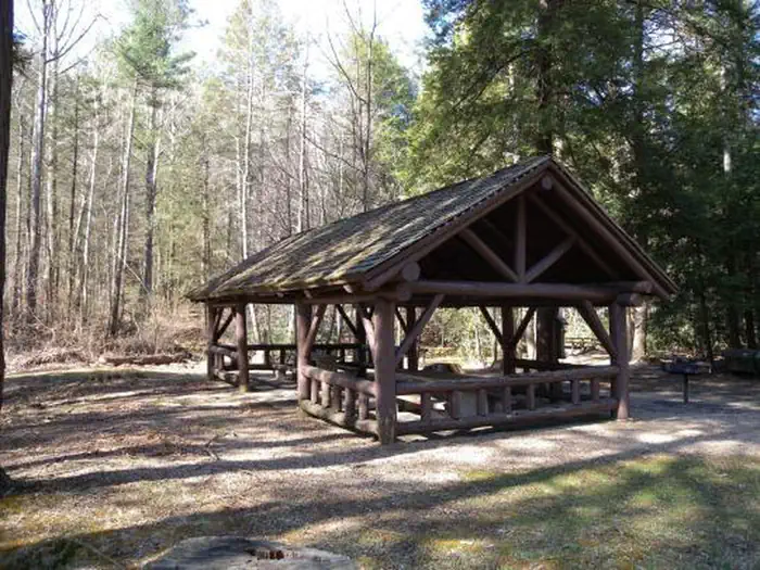
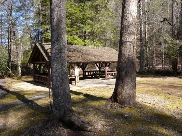
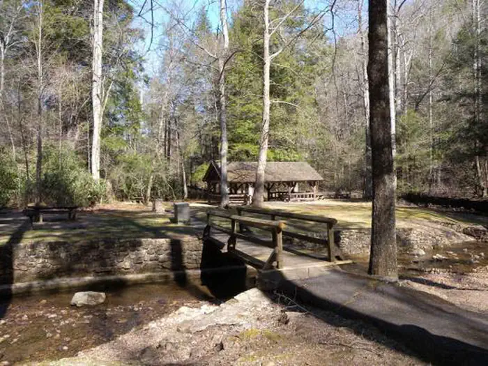
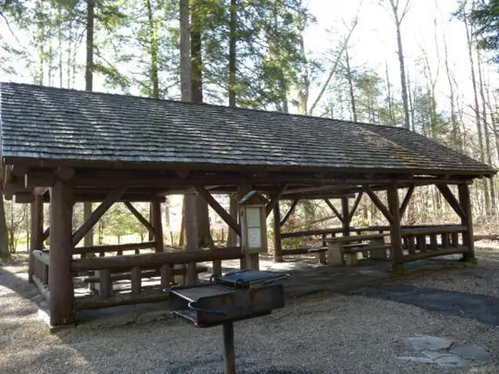
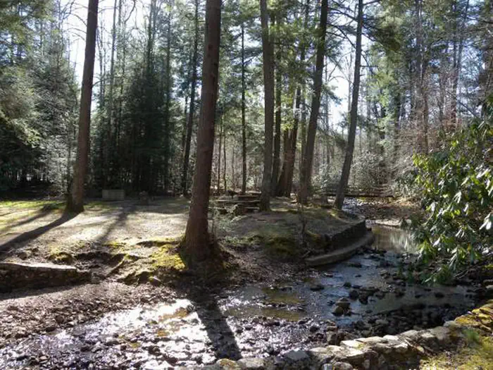
Overview The Laurels has been a popular area since the early days in East Tennessee. It was a common evening stopover for farmers from North Carolina taking produce to markets in Johnson City, TN. The site is named for the native Rhododendron that thrives in the area, locally called "laurel." The Civilian Conservation Corps helped construct the current facilities in the early 1930's. Today, it is a popular day-use area, providing a nice shady place for family picnics and group gatherings. Recreation The Laurels has two pavilions, each with picnic tables and grills. An old foot path meanders through the nearby woods. Facilities The Laurels includes two picnic pavilions, numerous tables, grills, a bear-proof dumpster, and connected by foot paths. There is a vault toilet on site. There is no potable water. Natural Features Honeycomb Creek flows through the picnic area and is enjoyed by kids of all ages on warm summer days. Contact Info This location is unstaffed. To speak with our main office for general information, please call: (423) 735-1500.
From the managing agency.
Is THE LAURELS PICNIC AREA PAVILIONS free?
We do not have a fee on record for THE LAURELS PICNIC AREA PAVILIONS. Confirm the cost locally before you go.
How do I get to THE LAURELS PICNIC AREA PAVILIONS?
THE LAURELS PICNIC AREA PAVILIONS is at 36.2489, -82.2683. We do not hold written directions for this one, so navigate to the coordinates.
Nearby
SourceSource data is agency published. Last synced September 19, 2026. Community reports and photos are submitted by travelers and are not verified by the agency.
