
SPILLWAY RECREATION AREA
Campground · Fee
Fast facts
- Cost
- Fee charged
- Type
- Campground
- Phone
- 573-222-8562
- Coordinates
- 36.9261, -90.2831
- Last verified
- September 19, 2026
About this place
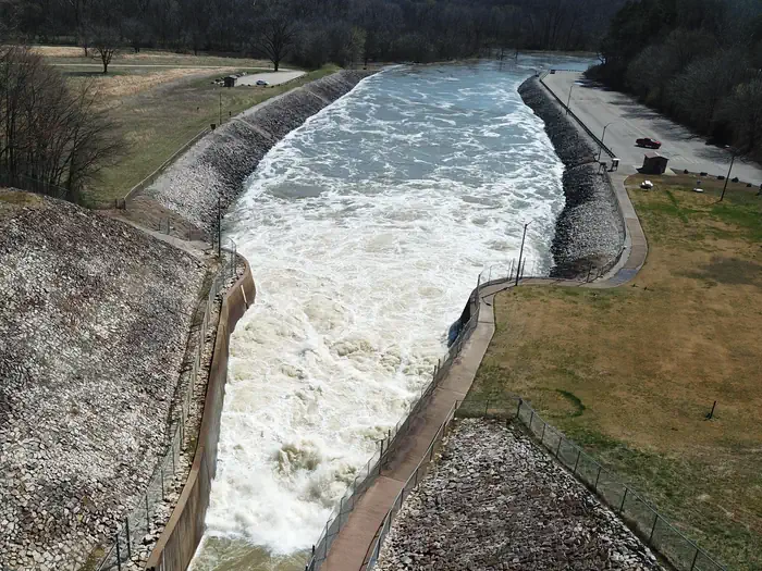
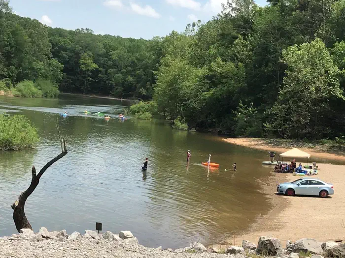
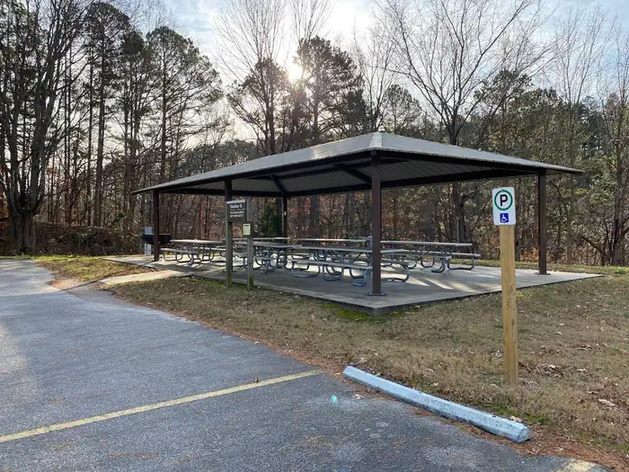
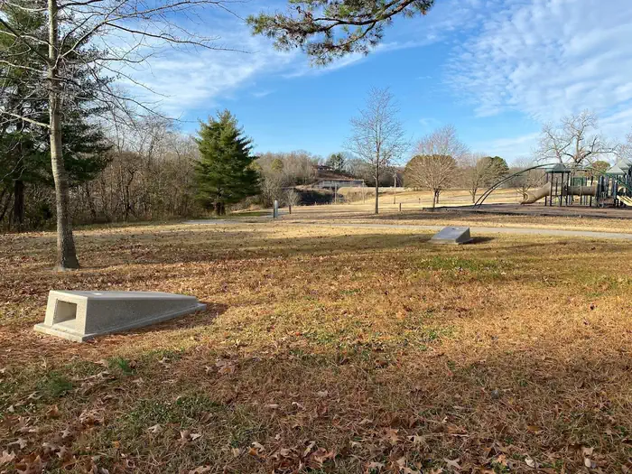
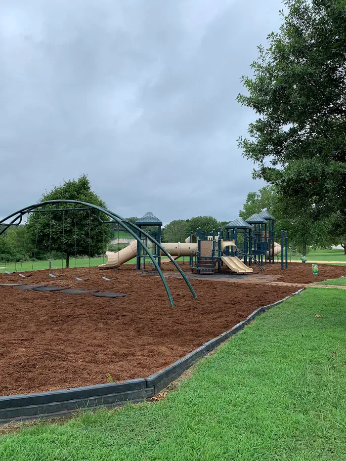
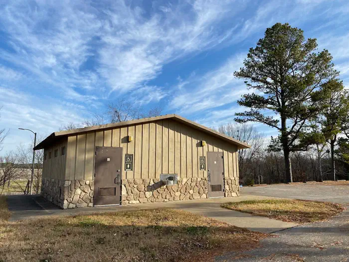
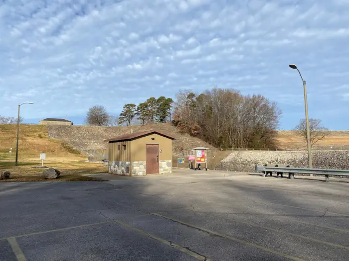
Overview The Spillway Recreation Area's iconic outllet structure has delighted visitors to Wappapello Lake since 1937. Feeding the St. Francis River, the spillway banks are a favorite location for fisherman. A one lane boat ramp provides river access, the lower boat ramp area is also an ideal location for kayakers with easy bank access for launching. 11 picnic areas and 2 accessible picnic shelters are available for use year round. Each shelter has a large capacity grill, electricity, water fountains and water hydrants available, Shelter 4 has a large wood burning fireplace in the covered area. A 6 stall, accessible restroom is centrally located within the recreation area. A sand volleyball court, large playground, horseshoe pits, cornhole boards and a Lake View Trailhead offer recreational opportunities for all ages and interests. Click here to take a virtual tour of the facilities at Wappapello Lake! Recreation Boating and fishing are the most popular activities with largemouth bass, crappie, bluegill, white bass and channel catfish, among other species. Pine Ridge Natural Trail, a 3/4-mile double loop, starts at the Spillway Recreation Area and provides an excellent way to explore the beautiful woodlands. Facilities This day use area includes two large picnic shelters, 8 picnic sites, a volleyball court, playground, horseshoe pits and bank fishing. Natural Features Wappapello Lake has a seemingly endless string of secluded coves hugged by a winding, wooded shoreline. The public recreation area spans 45,000 acres in the southeastern Ozark foothills. Contact Info This location is unstaffed. To speak with our main office for general information, please call: (573) 222-7500. Nearby Attractions The extensive 33-mile Ozark Trail, starts just south of Sam A. Baker State Park and winds along the west side of the St. Francis River and Wappapello Lake.
From the managing agency.
Is SPILLWAY RECREATION AREA free?
No. SPILLWAY RECREATION AREA charges a fee.
How do I get to SPILLWAY RECREATION AREA?
SPILLWAY RECREATION AREA is at 36.9261, -90.2831. We do not hold written directions for this one, so navigate to the coordinates.
Nearby
- REDMAN CREEK RECREATION AREA0.1 mi
- EAGLE POINT RECREATION AREA0.7 mi
- PEOPLES CREEK1.5 mi
- Snow Creek Campground5.2 mi
- GREENVILLE RECREATION AREA15.4 mi
- MARKHAM SPRINGS17.9 mi
- FUCHS HOUSE18.1 mi
- Markham Campground18.2 mi
No other services within 50 mi on the record.
SourceSource data is agency published. Last synced September 19, 2026. Community reports and photos are submitted by travelers and are not verified by the agency.
