
REDMAN CREEK RECREATION AREA
Campground · Fee
Fast facts
- Cost
- Fee charged
- Type
- Campground
- Phone
- 573-222-8233
- Coordinates
- 36.9274, -90.2838
- Last verified
- September 19, 2026
About this place
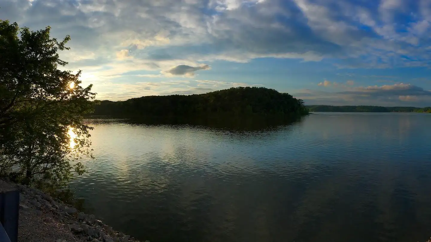
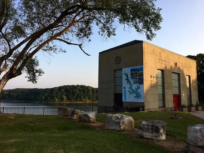
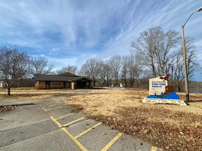
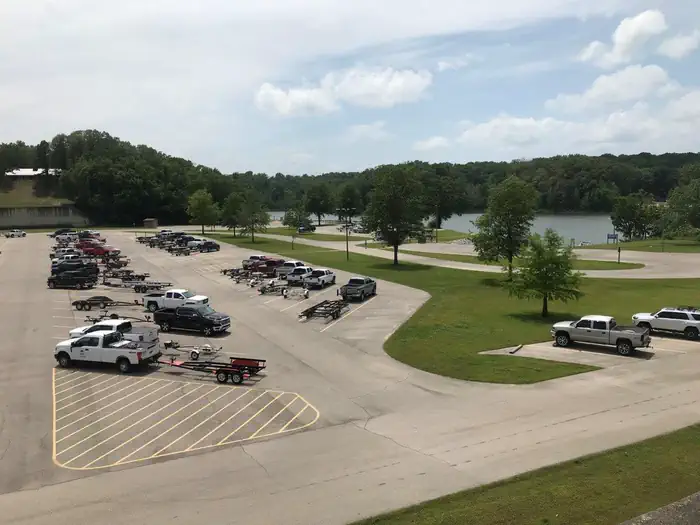
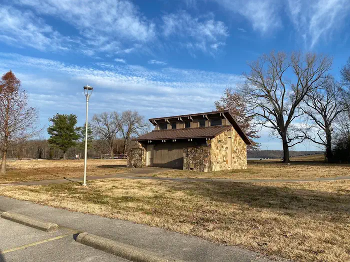
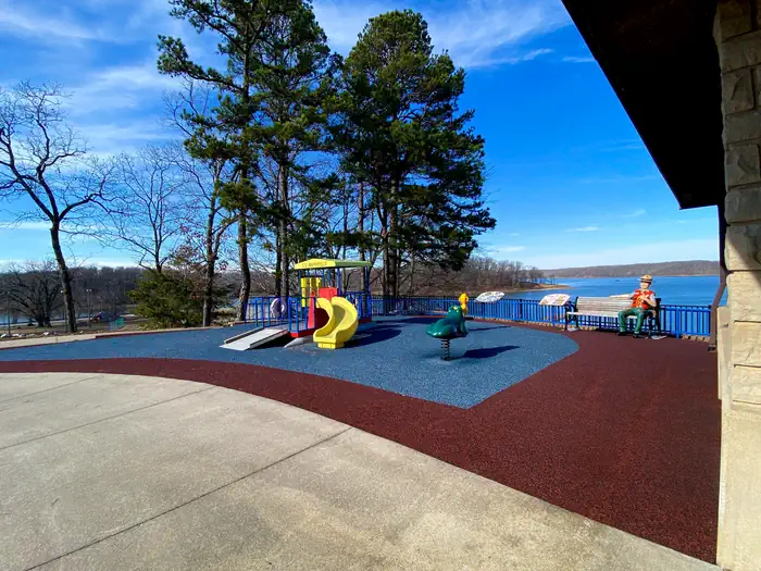
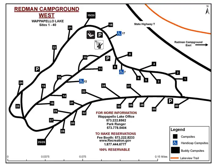
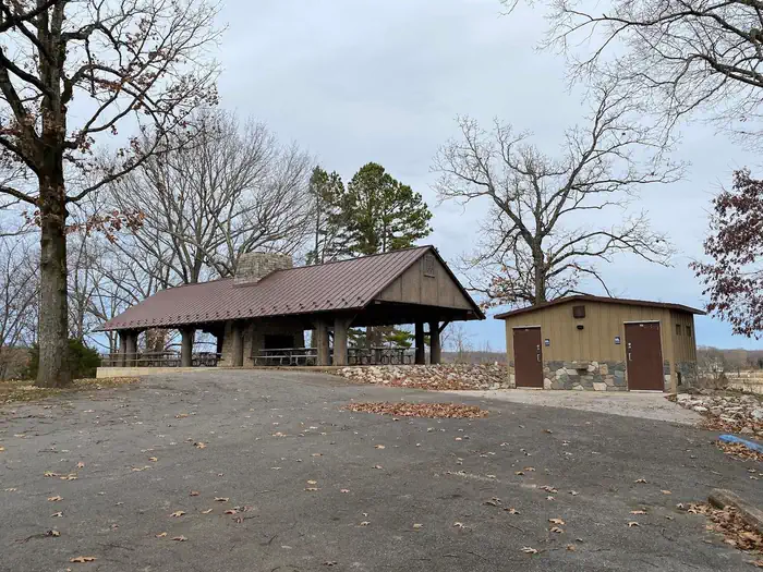
Overview Redman Creek offers a variety of recreational opportunities for every visitor! This large park is an ideal place for just a day visit or an extended stay. Redman Creek Campground features 109 full service campsites in the Redman East and West Campground. Each campground loop has a playground and shower house. As of 2025, recent campground improvements at Redman East include newly paved campsites which include a picnic table, lantern post, and fire pit. Enjoy the scenic view along the Lake View Trail, this multi-use trail is a hiker, biker or walkers dream. Beginning at Redman East Campground, the trail connects the entire Wappapello Dam area featuring multiple trailheads with unique landscapes. A tennis court, basketball court, sand volleyball court and playground are available for use year-round. A family picnic or a day of grilling are easy at one of 17 picnic sites or 4 reservable group shelters. An accessible fishing pier, 4-lane boat ramp with courtesy dock and a seasonal swimming beach provide a multitude of water recreation opportunities. Click here to take a virtual tour of the facilities at Wappapello Lake! Recreation Wappapello Lake can be a boater's paradise with a string of secluded coves, islands and wooded shorelines. Hunting, fishing and kayaking are popular activities year-round. Hiking and biking on one of the Lake's 9 trail systems provides opportunities for all ages and abilities. Shell Lake Archery Trail is a unique destination for archery enthusiasts. Facilities The day-use portion of Redman Creek includes the visitor center, four picnic shelters, basketball, volleyball, and tennis courts, horseshoe pits and more. The campground portion provides 109 full service campsites with 50-AMP electric, water and sewer hookups in addition to six non-electric boat-in island camp sites. Natural Features Wappapello Lake is fed by the St. Francis River and boasts 8,400 acres on a whopping 45,000-acre expanse of public land in the foothills of the Ozark Mountains. Contact Info Between 04/02/2026 and 10/28/2026 this location is staffed. Please call (573) 222-8233 to speak with local staff. From 11/03/2025 to 04/01/2026 this location is unstaffed. Please call (573) 778-5404 for general information. Nearby Attractions Explore the nearby Pine Ridge Nature trail, Shell Lake Archery Trail and Wappapllo Wildflower Trail and Greenhouse areas or St. Francis River. The Mingo Wildlife Refuge is approximately 11.6 miles from Redman Creek Recreation Area. The Lake Wappapello State Park is approximately 17 miles away, and the Sam A. Baker State park is 34 miles away from Redman Creek Recreation Area.
From the managing agency.
Is REDMAN CREEK RECREATION AREA free?
No. REDMAN CREEK RECREATION AREA charges a fee.
How do I get to REDMAN CREEK RECREATION AREA?
REDMAN CREEK RECREATION AREA is at 36.9274, -90.2838. We do not hold written directions for this one, so navigate to the coordinates.
Nearby
- SPILLWAY RECREATION AREA0.1 mi
- EAGLE POINT RECREATION AREA0.6 mi
- PEOPLES CREEK1.4 mi
- Snow Creek Campground5.1 mi
- GREENVILLE RECREATION AREA15.3 mi
- MARKHAM SPRINGS17.9 mi
- FUCHS HOUSE18.0 mi
- Markham Campground18.2 mi
No other services within 50 mi on the record.
SourceSource data is agency published. Last synced September 19, 2026. Community reports and photos are submitted by travelers and are not verified by the agency.
