
EAGLE POINT RECREATION AREA
Campground · Fee
Fast facts
- Cost
- Fee charged
- Type
- Campground
- Coordinates
- 36.9346, -90.2773
- Last verified
- September 19, 2026
About this place
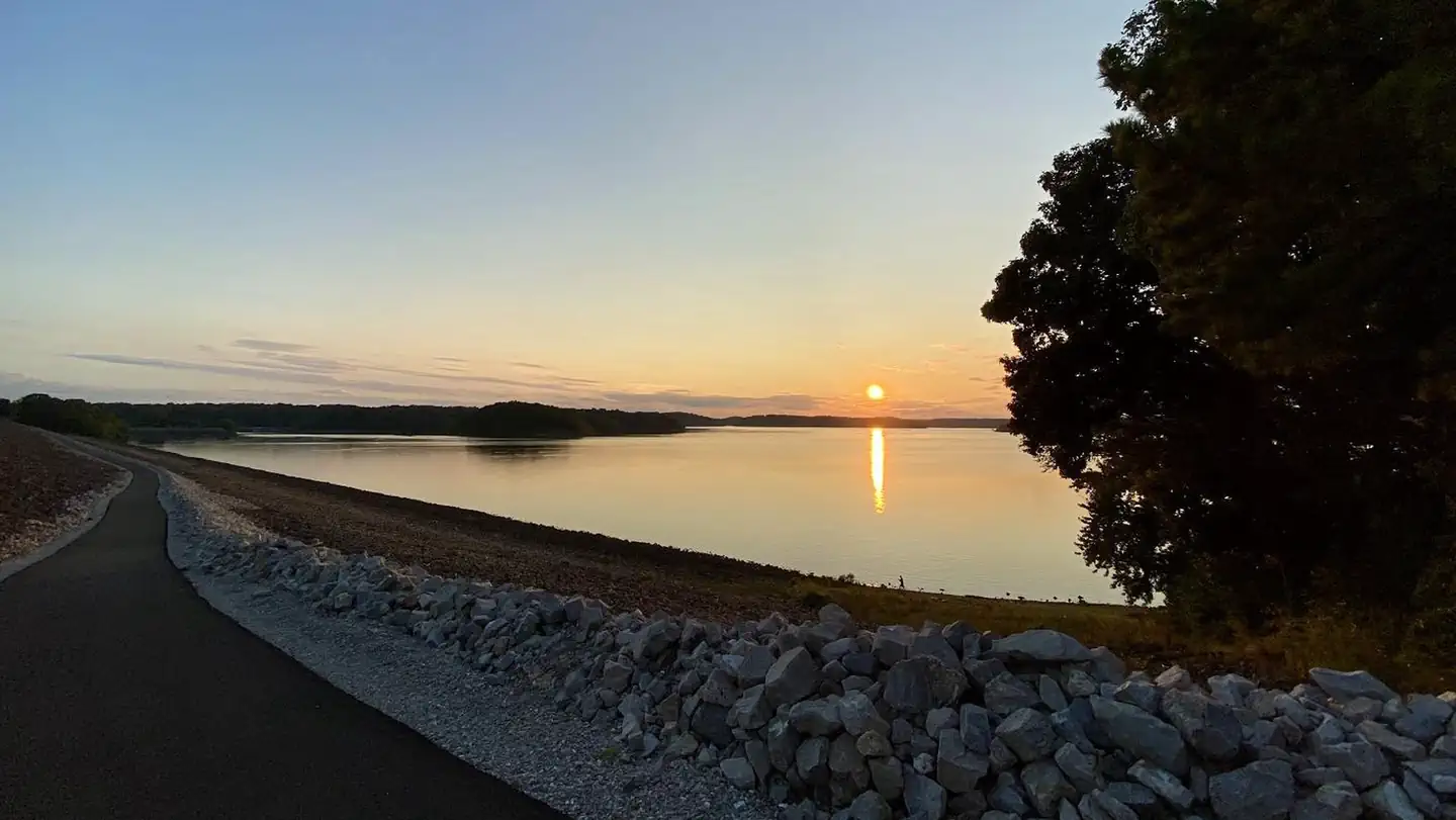
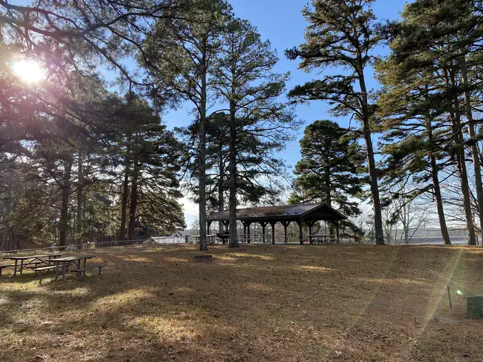
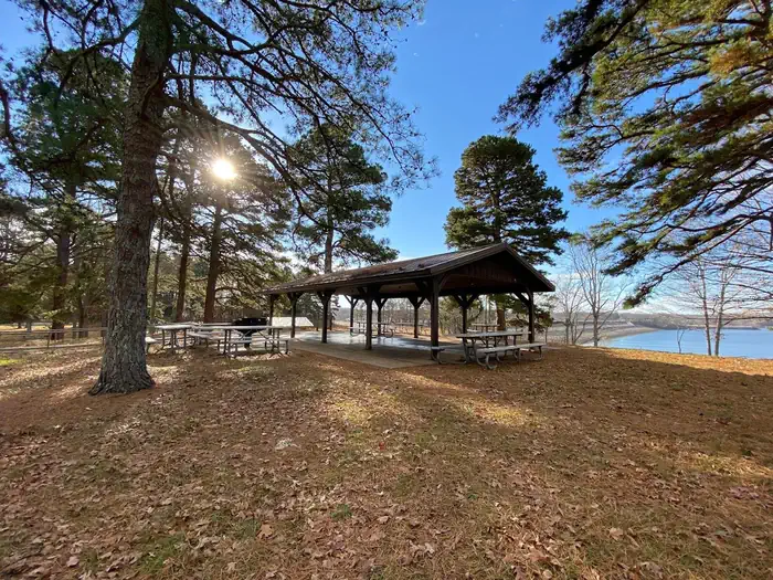
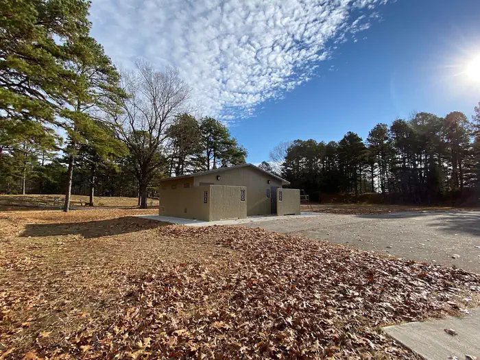
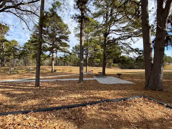
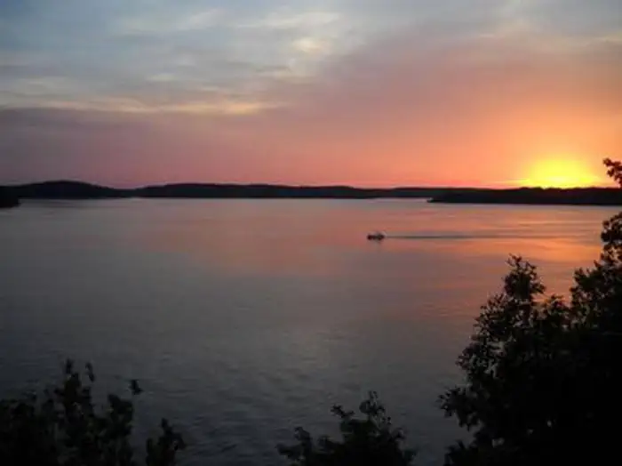
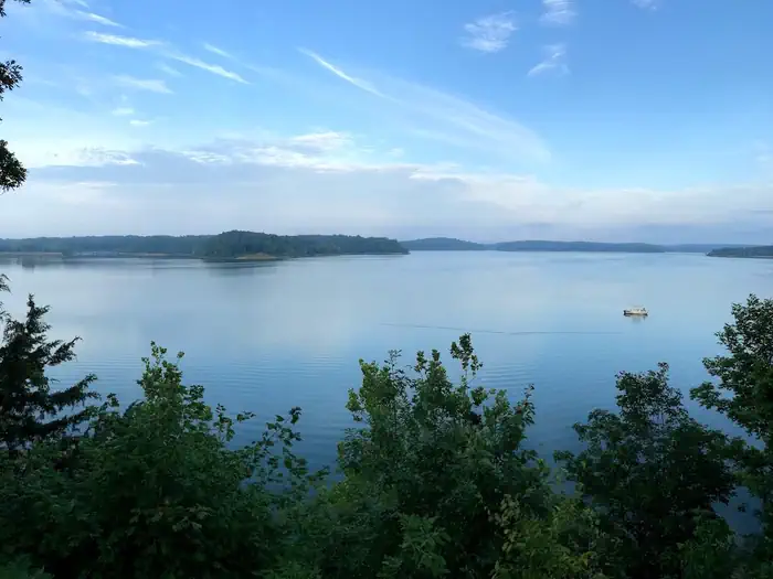
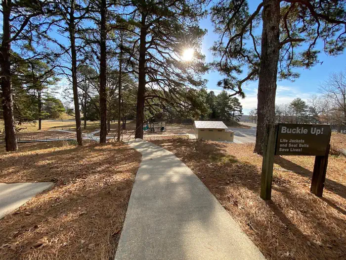
Overview Eagle Point day-use area provides a beautiful and grassy setting near the dam on Wappapello Lake. The park offers an accessible picnic shelter accommodating up to 80 guests, making it an ideal location for a large gathering of friends and family. Click here to take a virtual tour of the facilities at Wappapello Lake. Recreation Wappapello Lake can be a boater's paradise with a string of secluded coves, islands and wooded shorelines. Hunting, fishing and kayaking are popular activities year-round. Hiking and biking on one of the Lake's 9 trail systems provides opportunities for all ages and abilities. The Shell Lake Archery Trail is a unique destination for achery enthusiasts. Facilities The accessible picnic shelter fits 80 guests. The area includes a scenic overlook, volleyball court and flush toilets. From the bluff, an extended platform overlooks the lake -- a popular location for small wedding ceremonies (permit required). The Lake View trail can be accessed here with options to go across the dam or visit Peoples Creek. The restroom and picnic areas were replaced in 2021 Natural Features Wappapello Lake is fed by the St. Francis River and boasts 8,400 surface-acres on a whopping 45,000-acre expanse of public land, in the foothills of the Ozark Mountains. Contact Info For facility specific information, please call (573) 222-7500. Nearby Attractions Explore the nearby Pine Ridge Nature trail, Shell Lake Archery Trail and Wappapllo Wildflower Trail and Greenhouse areas or St. Francis River. The Mingo Wildlife Refuge is approximately 10.8 miles from Eagle Point Recreation Area. The Lake Wappapello State Park is approximately 17 miles away, and the Sam A. Baker State park is 34 miles away from Eagle Point Recreation Area. The Bill Emerson Memorial Visitor Center--located near the gatehouse, south of the dam-- offers more information on the area as well as recreation.
From the managing agency.
Is EAGLE POINT RECREATION AREA free?
No. EAGLE POINT RECREATION AREA charges a fee.
How do I get to EAGLE POINT RECREATION AREA?
EAGLE POINT RECREATION AREA is at 36.9346, -90.2773. We do not hold written directions for this one, so navigate to the coordinates.
Nearby
- REDMAN CREEK RECREATION AREA0.6 mi
- SPILLWAY RECREATION AREA0.7 mi
- PEOPLES CREEK0.8 mi
- Snow Creek Campground5.2 mi
- GREENVILLE RECREATION AREA15.1 mi
- MARKHAM SPRINGS18.2 mi
- FUCHS HOUSE18.3 mi
- Markham Campground18.4 mi
No other services within 50 mi on the record.
SourceSource data is agency published. Last synced September 19, 2026. Community reports and photos are submitted by travelers and are not verified by the agency.
