
MARKHAM SPRINGS
Campground · Fee not listed
Fast facts
- Cost
- Not listed. Check locally.
- Type
- Campground
- Coordinates
- 36.9733, -90.6017
- Last verified
- September 19, 2026
About this place
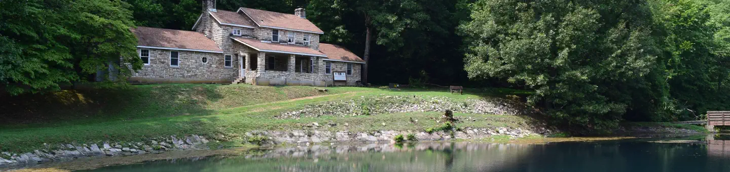
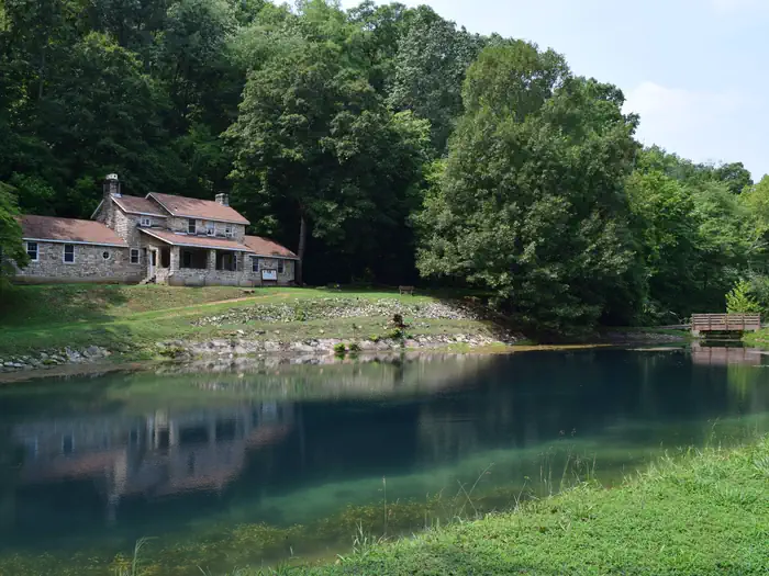
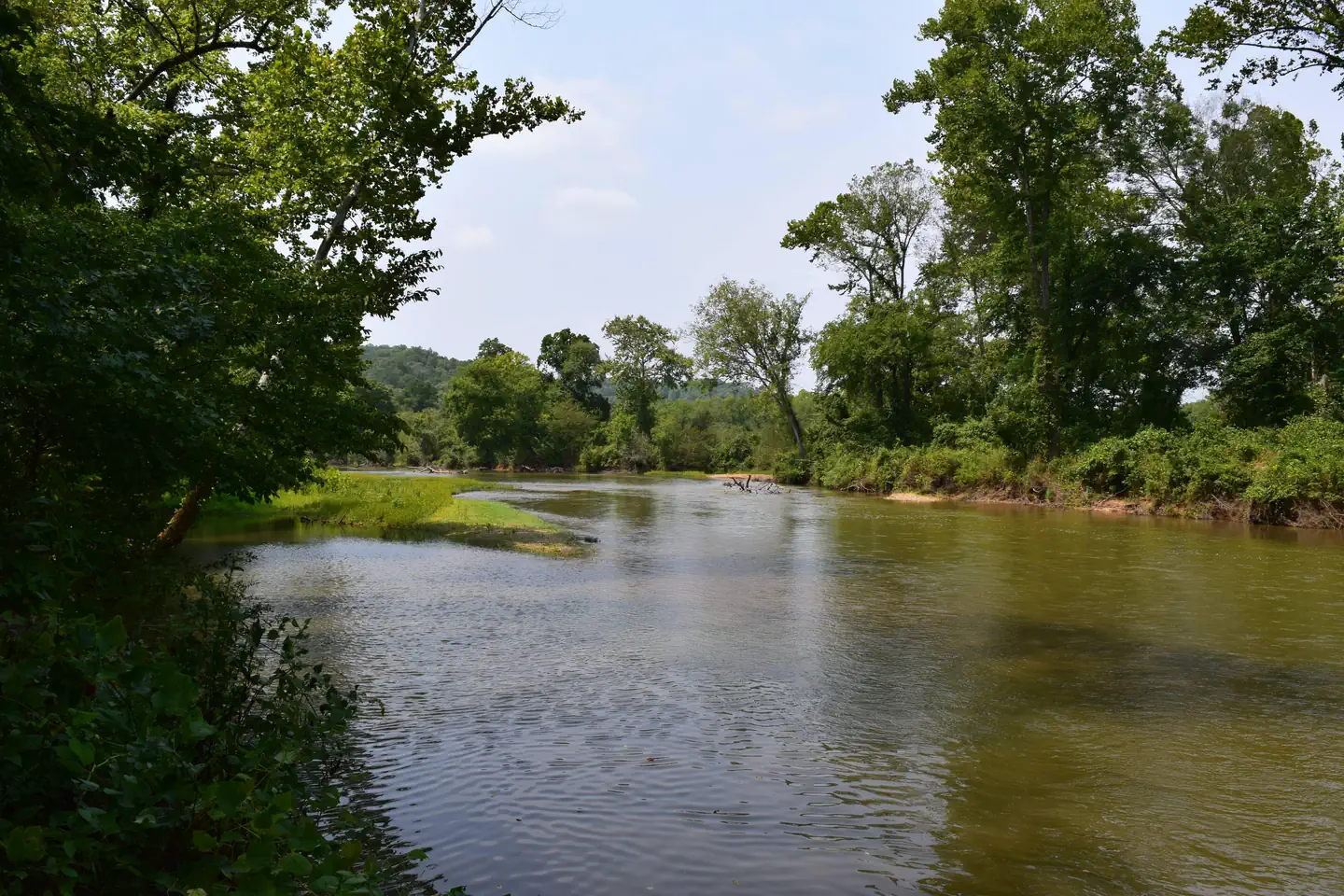
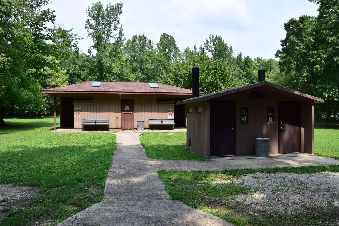
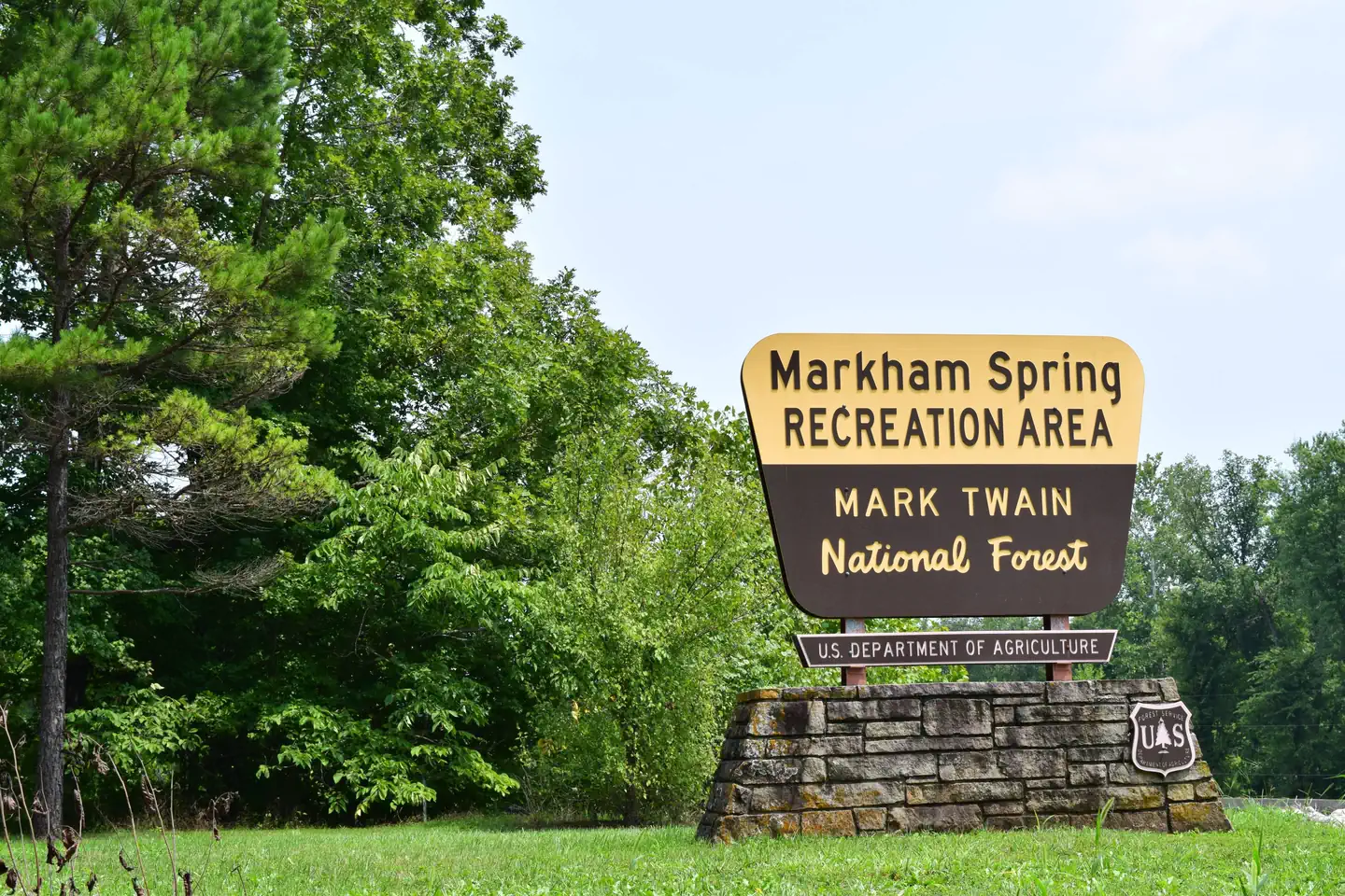
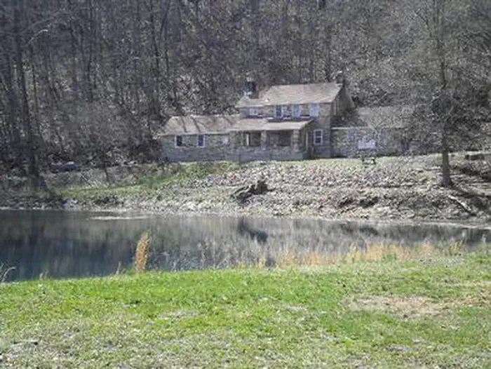
Overview Markham Springs Campground is set on the Black River in a scenic and historic recreation area in the southwestern corner of Missouri's Mark Twain National Forest. The area provides access to multiple trails and recreational opportunities. Markham Springs Recreation Area gets its name from former owner, M. J. Markham, who acquired the property in 1901 and operated a lumber mill at the site until the 1930s. The Fuchs House, a five-bedroom concrete and native stone home, also sits on the property, along with a neighboring mill. At times, it is also available for rent. Recreation River and stream fishing are popular activities near the campground. The Black River boasts bass, sunfish, walleye and catfish. Many anglers fish from boats, but others fish from the riverbanks. Canoeing and kayaking is also possible on the river. Various day hikes within the Markham Springs Trail System are accessible from the campground. Eagle Bluff Trail is a 1.5-mile loop along the river, where birding and wildlife viewing are favorite pastimes. Facilities The campground offers single and double sites for tent and RV camping. Some rather primitive sites are located in a wooded setting near the river. Electric hookups are provided, as well as tables and campfire rings with grills. Lantern posts are also available. Accessible vault toilets, drinking water, showers and trash collection are provided. Natural Features Located adjacent to the Black River, the recreation area contains a small pond that dates back to the 1800s. The area is covered by a dense forest of colorful trees, including ash, elm, maple and poplar. Nearby Attractions The small town of Williamsville is just 3 miles from the campground, offering a general store and fuel station.
From the managing agency.
Is MARKHAM SPRINGS free?
We do not have a fee on record for MARKHAM SPRINGS. Confirm the cost locally before you go.
How do I get to MARKHAM SPRINGS?
MARKHAM SPRINGS is at 36.9733, -90.6017. We do not hold written directions for this one, so navigate to the coordinates.
Nearby
- FUCHS HOUSE0.3 mi
- Markham Campground0.6 mi
- Pinewoods Lake Campground10.2 mi
- PINEWOODS LAKE REC AREA10.8 mi
- GREENVILLE RECREATION AREA11.9 mi
- Snow Creek Campground13.5 mi
- RIVER ROAD PARK14.3 mi
- PIEDMONT PARK14.9 mi
No other services within 50 mi on the record.
SourceSource data is agency published. Last synced September 19, 2026. Community reports and photos are submitted by travelers and are not verified by the agency.
