
JOHN SPALDING REC AR
Campground · Fee not listed
Fast facts
- Cost
- Not listed. Check locally.
- Type
- Campground
- Phone
- 573-735-4097
- Coordinates
- 39.5542, -91.6589
- Last verified
- September 19, 2026

About this place
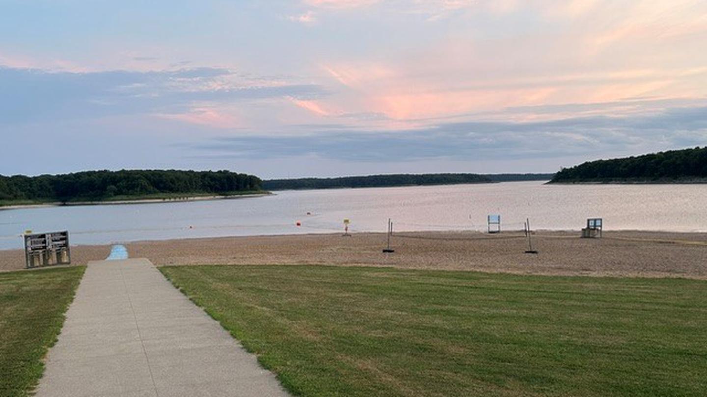
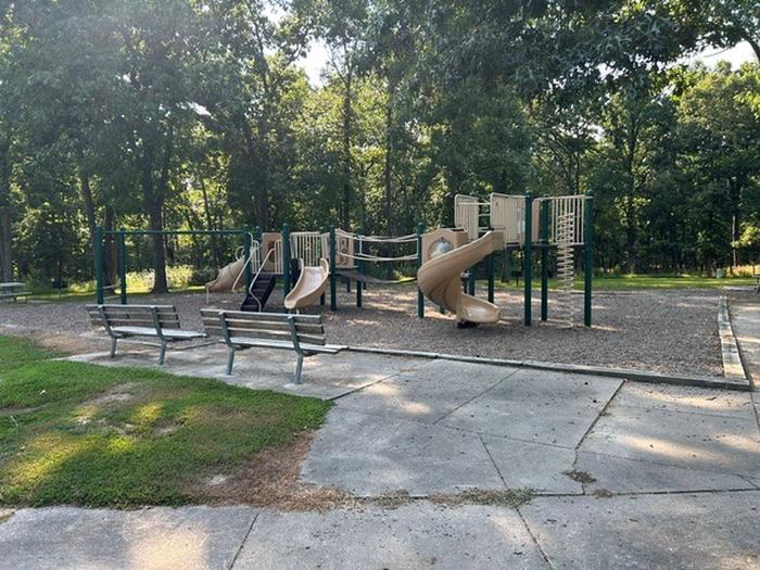
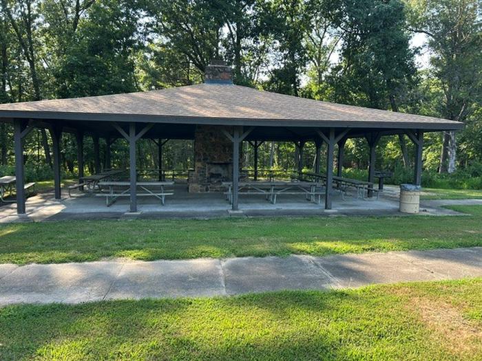
Overview Visitors at John Spalding are in the perfect location for recreation on Mark Twain Lake. The day-use area is the only facility within reach of the sandy public beach. It's also directly connected to the Joanna Trail, a 32-mile multi-purpose trail for hiking, mountain biking and horseback riding. Tour the birthplace of world-famous humorist and writer, Mark Twain and explore the region that inspired his most beloved stories, such as "The Adventures of Tom Sawyer." Recreation Swim and enjoy the beach all day, or take a boat out for water skiing and fishing. For hikers and bikers, the lengthy Joanna Trail lines the northern banks of the lake. Facilities The day-use area is equipped with a swimming beach, showers and picnic shelters. Shelters have electric hookups. Natural Features The Salt River of north-central Missouri feeds Mark Twain Lake, the regions largest body of water, spanning 18,000 acres. A variety of recreation areas surround the lake, including the Mark Twain State Park. Nearby Attractions Visit Mark Twain's birthplace in Florida, Missouri or his boyhood home in Hannibal. The David C. Berti Shooting Range is below the dam and M.W. Boudreaux Visitor Center is above the dam.
From the managing agency.
Is JOHN SPALDING REC AR free?
We do not have a fee on record for JOHN SPALDING REC AR. Confirm the cost locally before you go.
How do I get to JOHN SPALDING REC AR?
JOHN SPALDING REC AR is at 39.5542, -91.6589. We do not hold written directions for this one, so navigate to the coordinates.
Nearby
- FRANK RUSSELL1.4 mi
- JOHN C. BRISCOE GROUP USE2.5 mi
- RAY BEHRENS2.7 mi
- INDIAN CREEK (MO)4.1 mi
- BLUFFVIEW (MARK TWAIN LAKE)4.8 mi
No other services within 50 mi on the record.
SourceSource data is agency published. Last synced September 19, 2026. Community reports and photos are submitted by travelers and are not verified by the agency.
