
FRANK RUSSELL
Campground · Fee not listed
Fast facts
- Cost
- Not listed. Check locally.
- Type
- Campground
- Phone
- 573-735-4097
- Coordinates
- 39.5356, -91.6475
- Last verified
- September 19, 2026
About this place
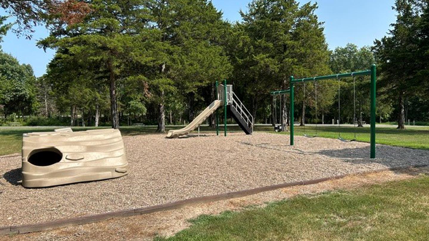
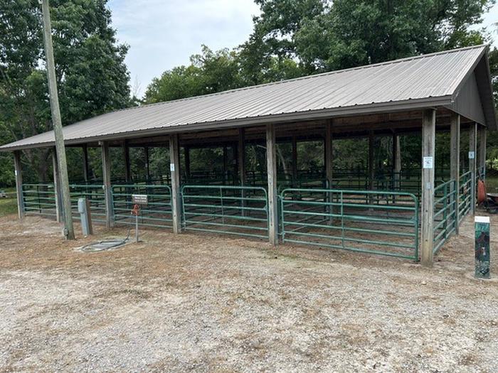
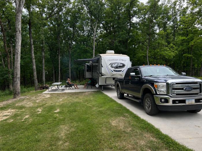
Overview Frank Russell Campground offers spacious campsites and convenient access to a variety of recreation opportunities. Visitors can enjoy playgrounds, a designated fishing pond, scenic shoreline trails, a bike trail, and a multipurpose equestrian trail with a designated equestrian camping area and horse corral. The Archery Park features a static range, an elevated 3D target course, and a fitness trail with integrated archery shooting lanes. For boating and swimming, Spalding Recreation Area, featuring a boat ramp and swimming beach, is located just 4 miles north on Highway J. Recreation Frank Russell Campground offers spacious campsites and convenient access to a variety of recreation opportunities. Visitors can enjoy playgrounds, a designated fishing pond, scenic shoreline trails, a bike trail, and a multipurpose equestrian trail with a designated equestrian camping area and horse corral. The Archery Park features a static range, an elevated 3D target course, and a fitness trail with integrated archery shooting lanes. For boating and swimming, Spalding Recreation Area, featuring a boat ramp and swimming beach, is located just 4 miles north on Highway J. Facilities Adjacent to the campground, equestrian campers can make use of the shaded horse stalls. Campsites are equipped with electric hookups, paved parking, grills and picnic tables. Other amenities include showers, playgrounds and vault toilets. Natural Features Mark Twain Lake is sourced by the Salt River in northeast Missouri. The Clarence Cannon Dam sits on the eastern edge of the lake, providing flood control and hydroelectricity to the region. Nearby Attractions While here, many visitors tour the birthplace of world-famous humorist and author, Mark Twain, in Florida, Missouri. The David C. Berti Shooting Range is below the dam and the M.W. Boudreaux Visitor Center is located on the south end of the Dam.
From the managing agency.
Is FRANK RUSSELL free?
We do not have a fee on record for FRANK RUSSELL. Confirm the cost locally before you go.
How do I get to FRANK RUSSELL?
FRANK RUSSELL is at 39.5356, -91.6475. We do not hold written directions for this one, so navigate to the coordinates.
Nearby
- JOHN C. BRISCOE GROUP USE1.2 mi
- JOHN SPALDING REC AR1.4 mi
- RAY BEHRENS1.6 mi
- INDIAN CREEK (MO)4.6 mi
- BLUFFVIEW (MARK TWAIN LAKE)4.8 mi
No other services within 50 mi on the record.
SourceSource data is agency published. Last synced September 19, 2026. Community reports and photos are submitted by travelers and are not verified by the agency.
