
JOHN C. BRISCOE GROUP USE
Campground · Fee not listed
Fast facts
- Cost
- Not listed. Check locally.
- Type
- Campground
- Phone
- 573-735-4097
- Coordinates
- 39.5189, -91.6458
- Last verified
- September 19, 2026
About this place
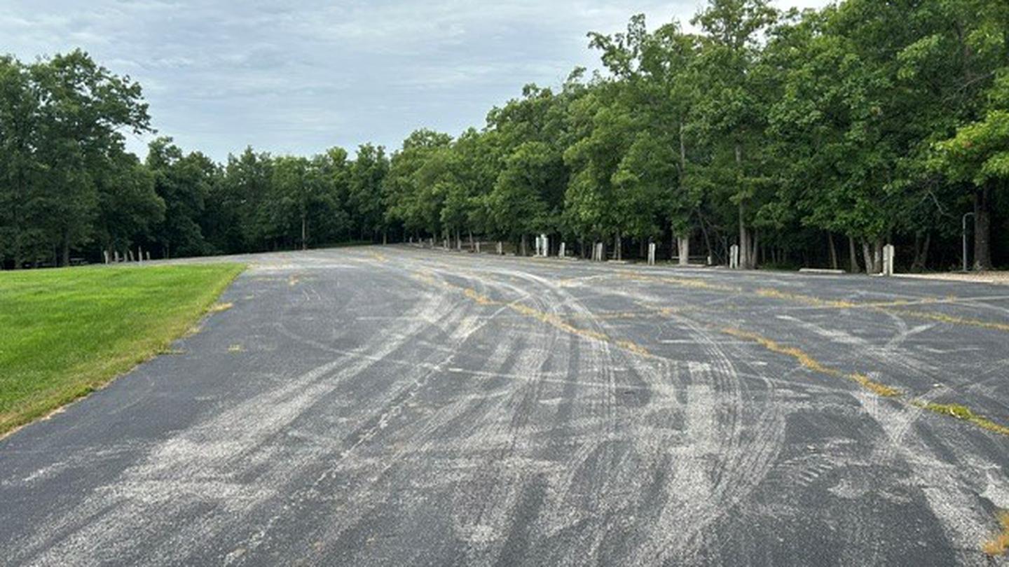
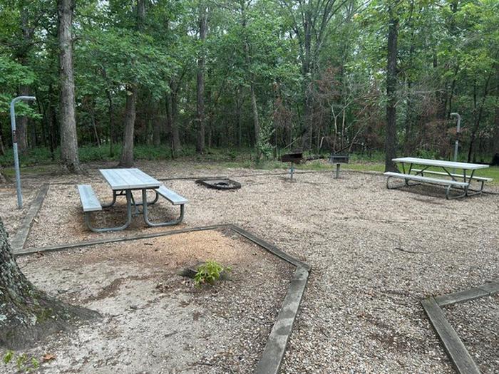
Overview The scenic John C. "Jack" Briscoe Group area, previously named the M.W. Boudreaux Group Area, is an ideal place for families and groups to explore and enjoy Mark Twain Lake. More than 2 million visitors travel to the Mark Twain lake region to enjoy the overall magnetism of the area, thanks in part to the author's beloved classics, "The Adventures of Tom Sawyer" and sequel, "Adventures of Huckleberry Finn." Recreation Fishing, boating and hunting are very popular at John C. Briscoe. Deer and turkey are common wildlife, and bass is the most popular catch in the lake. Facilities The John C. "Jack" Briscoe Group Use Area includes the entire campground, excluding the picnic shelter. The campsites offer paved parking for RVs, a shaded area for tent campers and an open area for sporting activities. All sites have electric hookups. Natural Features Mark Twain lake is large reservoir fed by the waters of the Salt River in northern Missouri. A variety of recreation areas line the lake, in addition to Mark Twain State Park on the western edge of the lake. Nearby Attractions Beside the lake is the village of Florida, where Mark Twain was born. Twenty-five miles east is the town of Hannibal, where visitors can tour the author's boyhood home.
From the managing agency.
Is JOHN C. BRISCOE GROUP USE free?
We do not have a fee on record for JOHN C. BRISCOE GROUP USE. Confirm the cost locally before you go.
How do I get to JOHN C. BRISCOE GROUP USE?
JOHN C. BRISCOE GROUP USE is at 39.5189, -91.6458. We do not hold written directions for this one, so navigate to the coordinates.
Nearby
- RAY BEHRENS0.9 mi
- FRANK RUSSELL1.2 mi
- JOHN SPALDING REC AR2.5 mi
- INDIAN CREEK (MO)4.9 mi
- BLUFFVIEW (MARK TWAIN LAKE)5.4 mi
No other services within 50 mi on the record.
SourceSource data is agency published. Last synced September 19, 2026. Community reports and photos are submitted by travelers and are not verified by the agency.
