
INDIAN CREEK (MO)
Campground · Fee not listed
Fast facts
- Cost
- Not listed. Check locally.
- Type
- Campground
- Phone
- 573-735-4097
- Coordinates
- 39.5392, -91.7331
- Last verified
- September 19, 2026
About this place
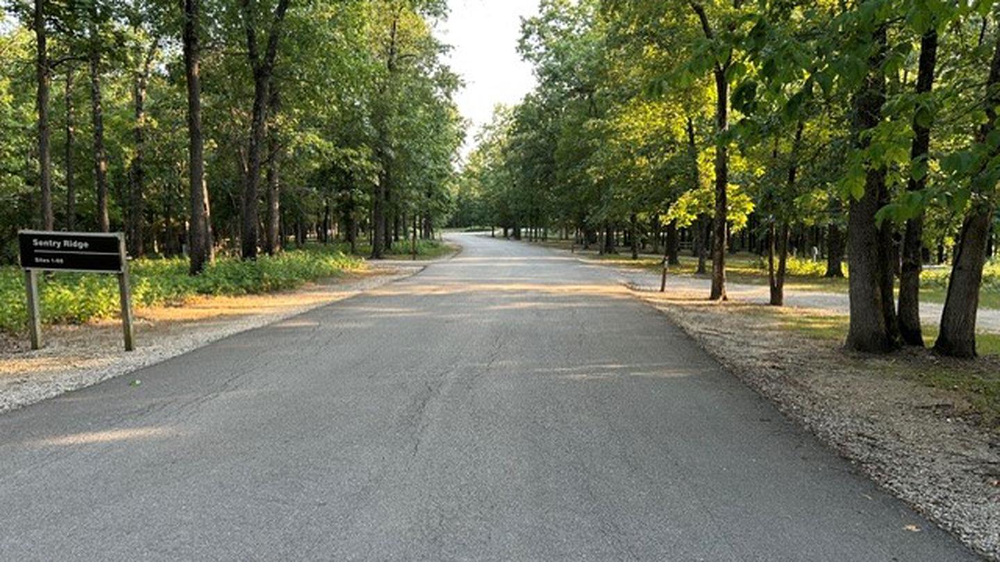
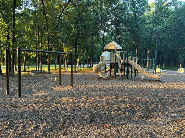
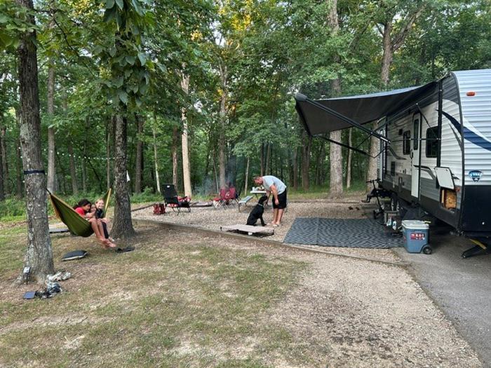
Overview Indian Creek Campground offers spacious campsites and convenient access to a variety of recreation amenities. Visitors can enjoy Indian Creek Beach, two boat ramps, two fish cleaning stations, hiking trails, playgrounds, and picnic areas all within the recreation area. Recreation Indian Creek Campground offers spacious campsites and convenient access to a variety of recreation amenities. Visitors can enjoy Indian Creek Beach, two boat ramps, two fish cleaning stations, hiking trails, playgrounds, and picnic areas all within the recreation area. Facilities Indian Creek provides four recreation areas: a public boat ramp, group campground, day-use area and the standard campground. The group camp provides 25 electric campsites, group shelter, restroom, shower and playground. The Day-Use Area provides group shelter, picnic sites and playground. The campground offers 190 campsites, 20 primitive hike-in campsites, showers, restrooms, playgrounds, a fish cleaning station, boat ramp, beach, hiking trails. Natural Features Mark Twain Lake is sourced by the Salt River in northeast Missouri. The Clarence Cannon Dam sits on the eastern edge of the lake, providing flood control and hydroelectricity to the region, in addition to an extensive habitat for wildlife. Nearby Attractions While visiting the area, tour the birthplace of the world-famous humorist and writer Mark Twain in the nearby Mark Twain State Park. The David C. Berti Shooting Range is located below the dam.
From the managing agency.
Is INDIAN CREEK (MO) free?
We do not have a fee on record for INDIAN CREEK (MO). Confirm the cost locally before you go.
How do I get to INDIAN CREEK (MO)?
INDIAN CREEK (MO) is at 39.5392, -91.7331. We do not hold written directions for this one, so navigate to the coordinates.
Nearby
- RAY BEHRENS4.1 mi
- JOHN SPALDING REC AR4.1 mi
- FRANK RUSSELL4.6 mi
- JOHN C. BRISCOE GROUP USE4.9 mi
- BLUFFVIEW (MARK TWAIN LAKE)8.9 mi
No other services within 50 mi on the record.
SourceSource data is agency published. Last synced September 19, 2026. Community reports and photos are submitted by travelers and are not verified by the agency.
