
SOUTH BRANCH TRAIL CAMP GROUP SITE
Campground · Fee not listed
Fast facts
- Cost
- Not listed. Check locally.
- Type
- Campground
- Coordinates
- 44.4869, -83.7961
- Last verified
- September 19, 2026
About this place
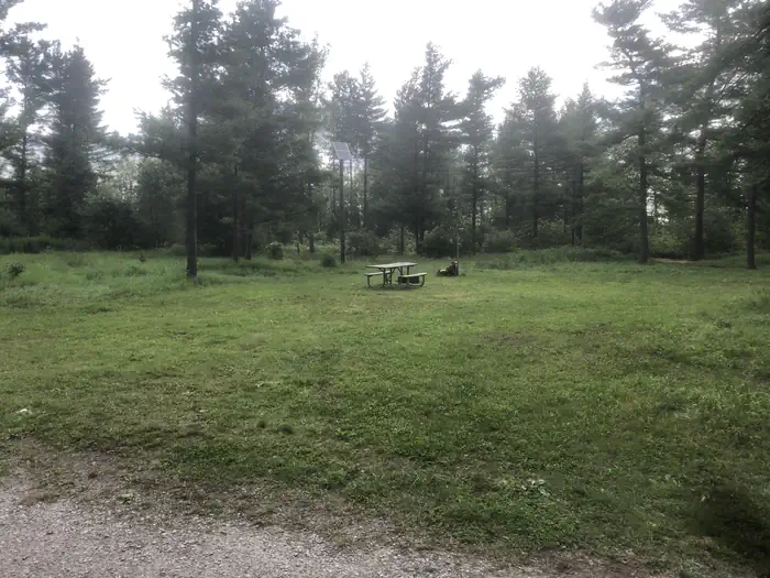
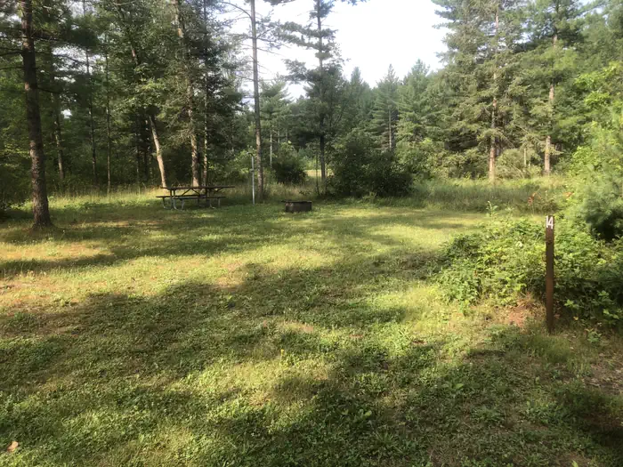
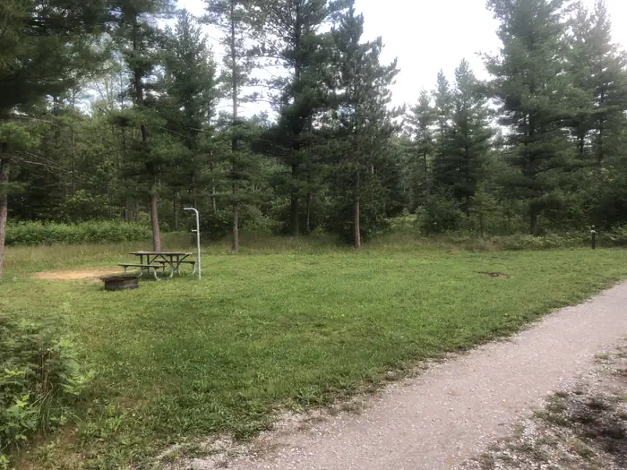
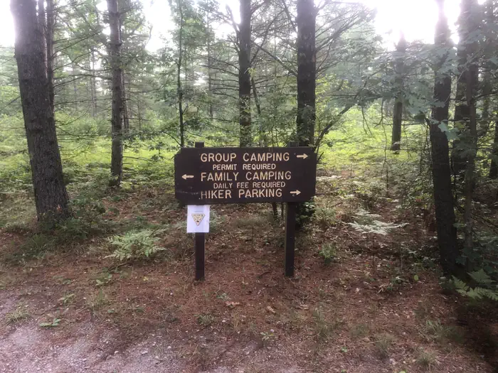
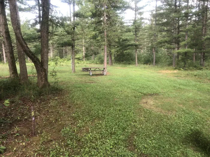
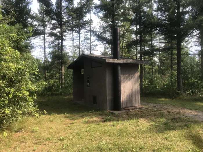
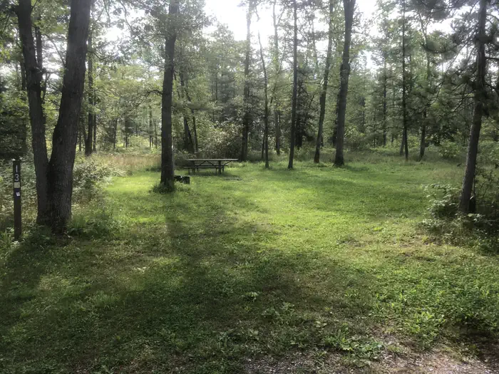
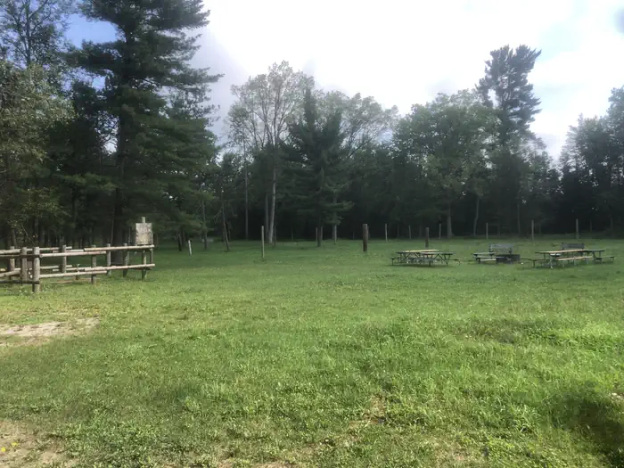
Overview South Branch Trail Campground Group Site is ideal for equestrian camping. The group area impresses with its beautiful scenery and convenient access to horseback riding and hiking along the 240-mile Michigan Shore-to-Shore Horseback Riding and Hiking Trail. Priority will be given to campers with horses, however everyone is welcome. The spacious site holds up to 250 campers and features a day-use horse parking area. Recreation Hike or horseback ride on the Michigan Shore-To-Shore Riding and Hiking Trail. The trail begins in the town of Empire near Lake Michigan, on the west side of Michigan and ends near Oscoda, Michigan on the Lake Huron eastern side of the state. The eastern part of the trail follows the historic AuSable River to its end in AuSable, just south of Oscoda. Facilities Facilities include at the South Branch Trail Campground Group Site include three sets of vault toilets, an electric water pump - which requires campers to furnish a 5,000 watt generator, one garbage bin and picket posts. Parking allows for up to 65 vehicles. Natural Features Campsites are situated in a stand of oak and pine at an elevation of 880 feet. The campground is adjacent to the South Branch River and is also not too far from the AuSable River. The magnificent Lake Huron is only a short drive east of the campground.
From the managing agency.
Is SOUTH BRANCH TRAIL CAMP GROUP SITE free?
We do not have a fee on record for SOUTH BRANCH TRAIL CAMP GROUP SITE. Confirm the cost locally before you go.
How do I get to SOUTH BRANCH TRAIL CAMP GROUP SITE?
SOUTH BRANCH TRAIL CAMP GROUP SITE is at 44.4869, -83.7961. We do not hold written directions for this one, so navigate to the coordinates.
Nearby
- South Branch Horse Campground0.1 mi
- Rollways Recreation Area Campground2.1 mi
- ROLLWAYS CAMPGROUND2.2 mi
- Horseshoe Lake Campground8.0 mi
- Au Sable River Backcountry Campsites9.3 mi
- MONUMENT CAMPGROUND9.5 mi
- Gabions Campground9.6 mi
- Hoist Lakes Backcountry Campsites10.8 mi
No other services within 50 mi on the record.
SourceSource data is agency published. Last synced September 19, 2026. Community reports and photos are submitted by travelers and are not verified by the agency.
