
ROLLWAYS CAMPGROUND
Campground · Fee not listed
Fast facts
- Cost
- Not listed. Check locally.
- Type
- Campground
- Coordinates
- 44.4594, -83.7736
- Last verified
- September 19, 2026

About this place
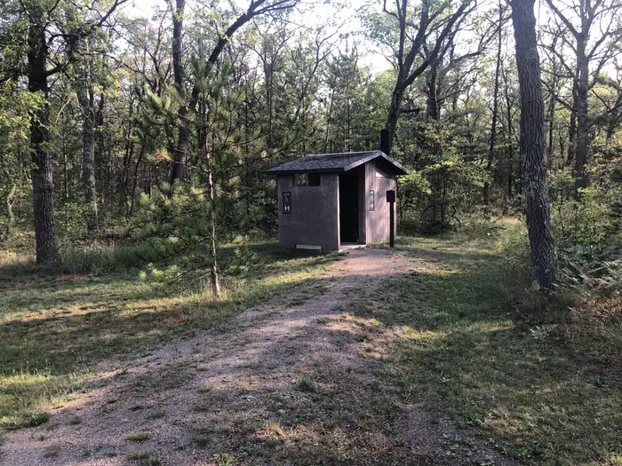
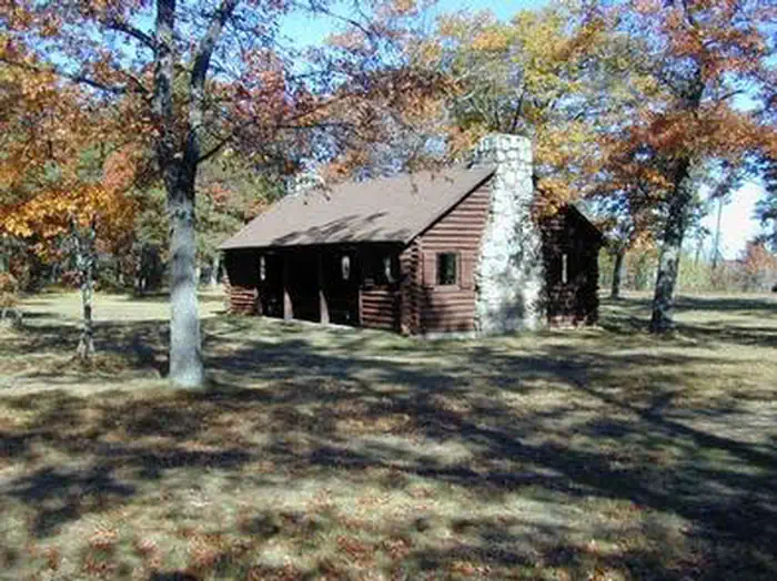
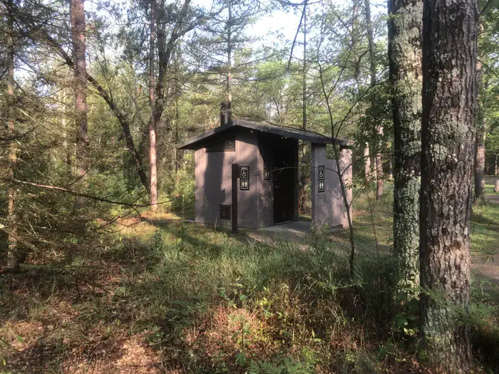
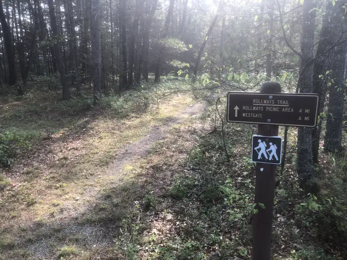
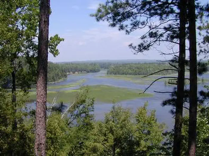
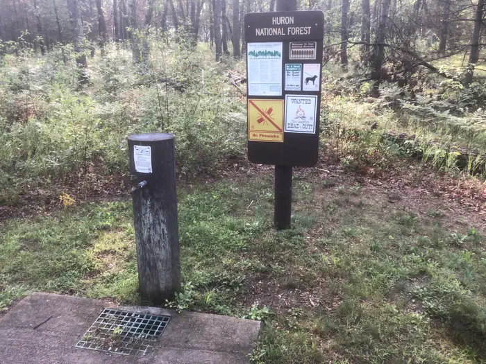
Overview Rollways Campground is located 7 miles from Hale, Michigan along the beautiful AuSable River. The site was built in 1909 as one of the first campgrounds established in Huron National Forest. The space is small and secluded and features an observation area, picnic grounds and log shelter.. The facility is located just off the River Road National Scenic Byway in northeast Lower Michigan. The byway showcases incredible views of the AuSable River Valley. Recreation Hike on the accessible trail that connects the campground and picnic area to Westgate Scenic Overlook. Bring binoculars and a camera to take advantage of the epic view. The same hiking path passes a stairway leading down to the river where visitors can fish and wade. Facilities The campground offers 19 pull-through campsites with picnic tables, a lantern post, grills, tent pads and campfire rings. At the picnic area, a log shelter, picnic tables and grills are available. Vault toilets and drinking water spigots are dispersed throughout the campground and all roads and camping spurs are paved. Natural Features Rollways is perched on a high bluff overlooking Loud Dam Pond on the AuSable River. The river flows from west to east for 138 miles until it reaches the great Lake Huron. Nearby Attractions Follow the length of the 22-mile River Road National Scenic Byway, which parallels the AuSable River.
From the managing agency.
Is ROLLWAYS CAMPGROUND free?
We do not have a fee on record for ROLLWAYS CAMPGROUND. Confirm the cost locally before you go.
How do I get to ROLLWAYS CAMPGROUND?
ROLLWAYS CAMPGROUND is at 44.4594, -83.7736. We do not hold written directions for this one, so navigate to the coordinates.
Nearby
- Rollways Recreation Area Campground0.1 mi
- South Branch Horse Campground2.1 mi
- SOUTH BRANCH TRAIL CAMP GROUP SITE2.2 mi
- Au Sable River Backcountry Campsites7.7 mi
- MONUMENT CAMPGROUND7.9 mi
- ROUND LAKE9.7 mi
- Horseshoe Lake Campground9.8 mi
- Round Lake Recreation Area Campground9.8 mi
No other services within 50 mi on the record.
SourceSource data is agency published. Last synced September 19, 2026. Community reports and photos are submitted by travelers and are not verified by the agency.
