
Gabions Campground
USFS · Campground · Fee
Fast facts
- Cost
- Fee charged
- Managed by
- USFS
- Type
- Campground
- Hours
- Open 24 hours a day, 7 days a week unless otherwise posted. Forest quiet hours apply.
- Reservations
- recreation.gov
- Phone
- 989-826-3252
- Coordinates
- 44.6210, -83.8471
- Last verified
- September 19, 2026
About this place
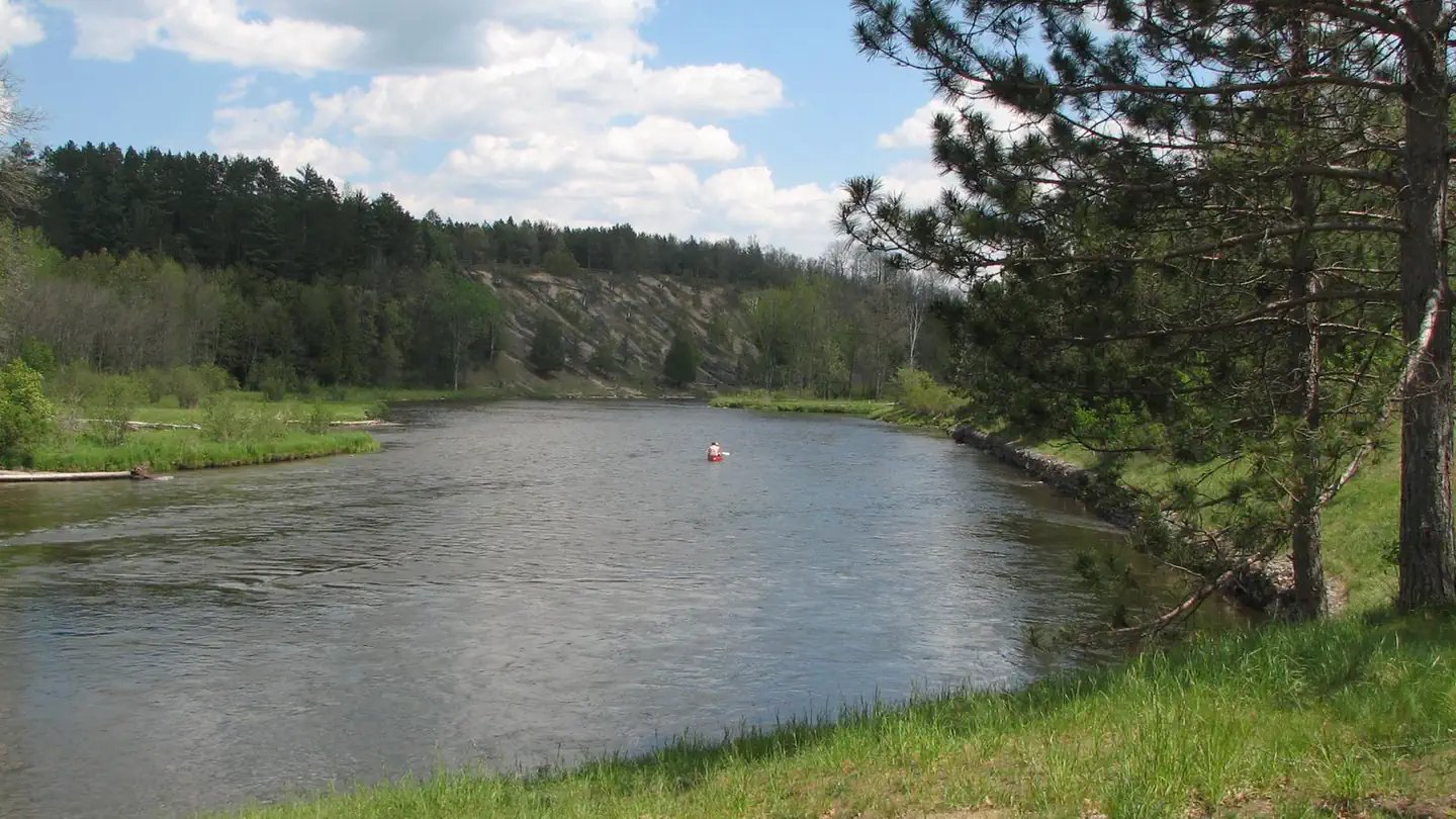
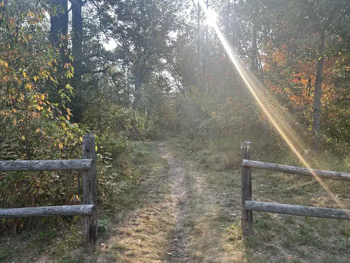
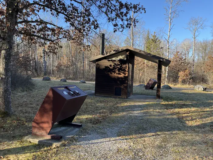
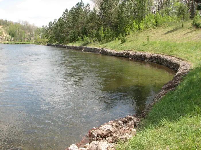
Overview Gabions Campground offers camping on the National Scenic stretch of the Au Sable River. Natural springs are common on this section of the river, including a small one at the river's edge near the gabions. Gabions are rock-filled wire baskets that are placed along the riverbank to help reduce erosion. The Shore-to-Shore Trail passes near the campground; however, Gabions is not a designated horse camp and horse camping is not permitted. Wildlife and waterfowl viewing opportunities exist; please respect wildlife and observe from a distance. Recreation Water Activites: Anglers can boat, wade, and fish from shore. Fish species found in the Au Sable River include bass, pike, brown trout, walleye, perch, sunfish, steelhead, and salmon. The water flows at a speed of 2 mph. The Au Sable River provides opportunities for non-motorized boating using watercraft such as canoes, kayaks, and rafts. 4001 Canoe Access is a short drive and provides developed access to the Au Sable river. Alcona Canoe Rental in nearby Glennie and Hinchman's Acres Resort in Mio provide watercraft rentals for canoes, kayaks, and tubes. Hiking: Visitors can walk the Shore-to-Shore Horse Trail which passes through the campground. This trail is open to hiking and horseback riding. Hikers should be aware this is not a loop trail. Additionally, hikers can drive southwest on Au Sable River road to reach the Ruffed Grouse trail head for a short leasurely 0.6 mile loop through the forest. OHV Riding: An OHV trail utilizes Au Sable River road at the mouth of the campground road. Taking the trail to the east will connect riders to the Alcona ATV Trail and taking the trail to the west will connect riders to to the Mack Lake Motorized Trail System and the Bull Gap Hill Climb Area . Additionally, a large majority of Forest Service roads are open to OHV use. Please refer to the motor vehicle use map (MVUM) to understand which roads are open to OHV use. Facilities Amenities available include a vault toilet and trash collection. There is no water provided in the campground. Campsites are equipped with picnic tables, campfire rings, and lantern posts. Natural Features The Au Sable River is a short walk from the campground where visitors can experience world class fishing and floating opportunities. Each site is shaded by a mixed forest of hardwoods, red pines, and jack pine. Contact Info This location is unstaffed. To speak with our main office for general information, please call: (989) 826-3252.
From the USFS.Official page
Is Gabions Campground free?
No. Gabions Campground charges a fee. It is managed by the USFS. Sites are reservable through recreation.gov.
How do I get to Gabions Campground?
From Grayling: Travel east on M-72 for 30 miles. Turn right and go south on M-33 for 6 miles. Turn left and go east on County Rd. 604/Curtisville Rd. for 15.5 miles. Turn left on FR 4134. Road will terminate at the campground.
What are the rules at Gabions Campground?
As a visitor to the National Forest, you are asked to follow certain rules designed to protect the Forest, natural resources, and to provide for public safety of visitors. These rules are available to you online or at any office of the Huron-Manistee National Forests. Please take time to read and understand them. General Topic orders apply across the Forests. Applicable Orders: Au Sable National Scenic River Corridor; R904-14-18. Motorized Vehicle Use of Roads, Trails, and Off-road Areas; R904-14-02. Occupancy and Use - Developed Recreation Areas, Dispersed Areas, Being Publicly Nude, Marine Prohibitions, Parking and Sanitation; R904-14-03. Highlights - Camping is prohibited, except at designated campgrounds or campsites.
Nearby
- Bear Island Backcountry Campsites2.3 mi
- Buttercup Backcountry Campsites3.7 mi
- Hoist Lakes Backcountry Campsites3.8 mi
- Horseshoe Lake Campground4.3 mi
- Mckinley Horse Trail Campground6.3 mi
- Cathedral Pines Campground8.0 mi
- Reid Lake Backcountry Campsites9.0 mi
- SOUTH BRANCH TRAIL CAMP GROUP SITE9.6 mi
No other services within 50 mi on the record.
SourceData from the USFS. Last synced September 19, 2026. Community reports and photos are submitted by travelers and are not verified by the agency.
