
MONUMENT CAMPGROUND
USFS · Campground · Fee
Fast facts
- Cost
- Fee charged
- Managed by
- USFS
- Type
- Campground
- Hours
- Open 24 hours a day, 7 days a week unless otherwise posted.
- Reservations
- recreation.gov
- Coordinates
- 44.4336, -83.6183
- Last verified
- September 19, 2026
About this place
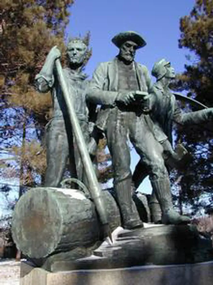
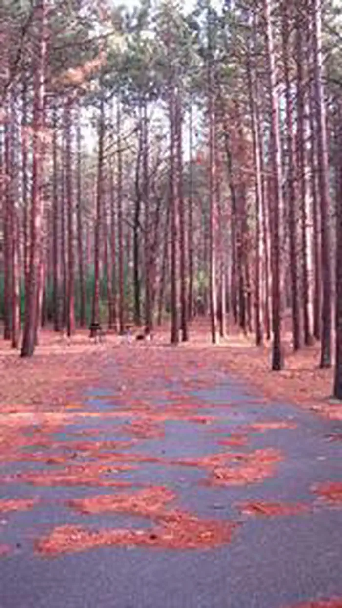
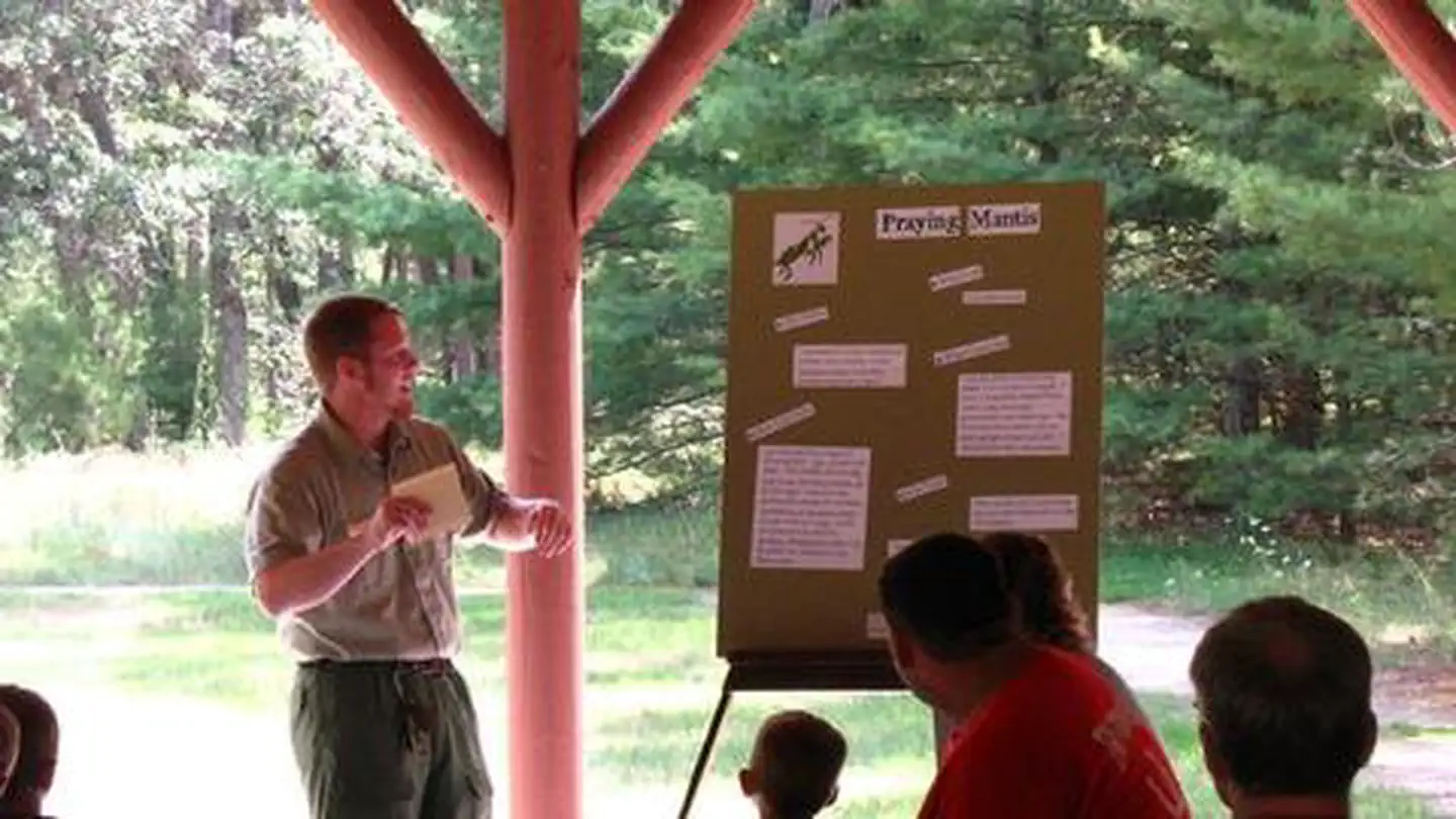
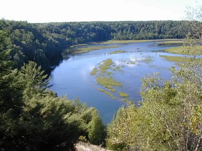
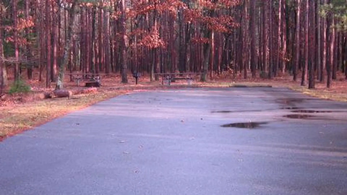
Overview Monument Campground was established in 1909 as one of the first campgrounds built in the Huron National Forest. The campground is a fully accessible camping area within a red pine plantation. Families love this conveniently located campsite, just 15 minutes from Lake Huron off the River Road National Scenic Byway. Recreation Campers can access the Highbanks Hiking Trail from the campground or explore the 22-mile River Road National Scenic Byway that overlooks the lovely AuSable River valley. Beside the campground is the Lumberman's Monument Visitor Center, replete with information about the area's rich lumbering history. Here, visitors can climb through a log jam, use a peavey, cut a wooden cookie with a cross-cut saw, and learn about the life of a lumberjack through video and displays. Facilities Pressurized drinking water, vault toilets, trash collection and grills are among the amenities offered at the campground. A host is onsite to answer questions. In the nearby visitor center, campers can partake in educational programs and browse through the gift shop. Natural Features Each site is secluded and shaded with large oak and red pine near the AuSable River. The river flows from west to east for 138 miles until it reaches the great lake, Lake Huron. Nearby Attractions Explore the many trails of the Huron-Manistee National Forests and spend time at Lake Huron.
From the USFS.Official page
Is MONUMENT CAMPGROUND free?
No. MONUMENT CAMPGROUND charges a fee. It is managed by the USFS. Sites are reservable through recreation.gov.
How do I get to MONUMENT CAMPGROUND?
From Tawas Travel west on M-55 for .75 miles. Turn right and travel north on Wilber Rd. for 1.25 miles. Stay left and travel northwest on Monument Rd. for 11 miles. Turn right and travel east on River Rd. for .5 miles. The site is located on the left. From Oscoda - Travel 15 miles west along River Rd.
Nearby
- Au Sable River Backcountry Campsites0.2 mi
- River Road Horse Trail Camp4.0 mi
- ROUND LAKE6.7 mi
- Round Lake Recreation Area Campground6.8 mi
- ROLLWAYS CAMPGROUND7.9 mi
- Rollways Recreation Area Campground7.9 mi
- Pine River Recreation Area Campground9.0 mi
- South Branch Horse Campground9.5 mi
No other services within 50 mi on the record.
SourceData from the USFS. Last synced September 19, 2026. Community reports and photos are submitted by travelers and are not verified by the agency.
