
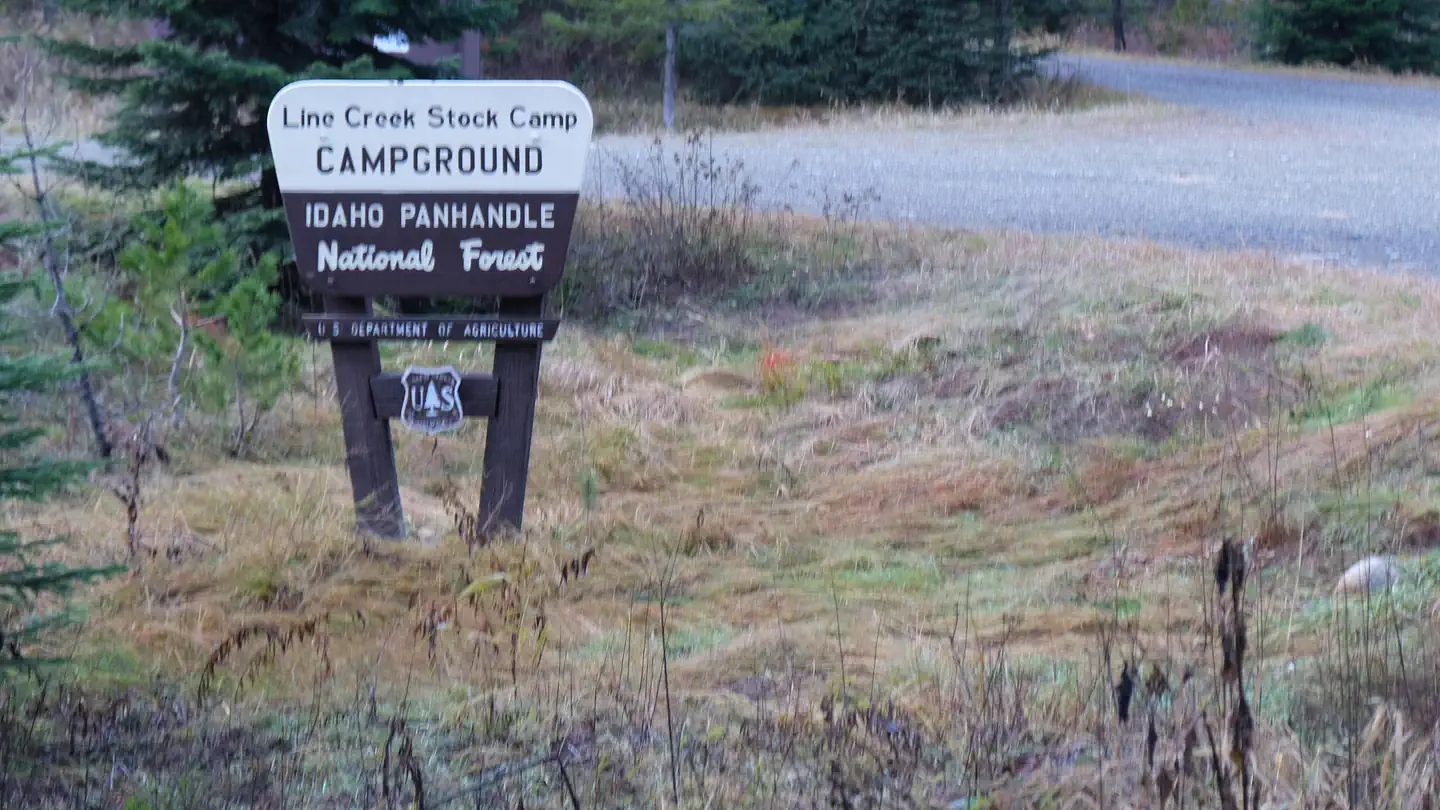
Line Creek Stock Campground
Campground · Fee not listed
Fast facts
- Cost
- Not listed. Check locally.
- Type
- Campground
- Phone
- 208-245-2531
- Nearest dump station
- Cedar Flats Dump Station · 66.3 mi
- Coordinates
- 47.0434, -115.3500
- Last verified
- September 19, 2026
About this place
Overview The Line Creek Stock Camp is located 87 miles from St. Maries Idaho up the St. Joe River on Forest Highway 50. It is at 3800 feet elevation and on the designated Wild and Scenic St. Joe River. The campground includes 7 pull-through camping units (5 available for stock reservations), facilities for stock animals, firepits and vault toilets. Recreation Catch and release fishing is a primary activity in the upper St. Joe River. The campground is ideally situated for stock riding. The terrain is steep with over 100 miles of non-motorized and 60 miles of multiple use trail. These can be traveled for day rides and/ or packins. Day hikes and backpacking opportunities are also enjoyed. Many of the trails are accessed directly out of the campground. The St. Joe River Trail 48 winds along beside the St. Joe River for 18 miles to its endpoint at Heller Campground. The Line Creek Stock Camp is also ideally situated for driving for pleasure with primitive roads to travel: to Heller Campground and Montana, to the Surveyors Lookout and other sites along Forest Road 201, to the Snow Peak trailhead and up into Gold Creek and over Gold Pass towards St. Regis Montana. There are three rental opportunities in the area: Red Ives Ranger cabin, Beaver Creek A-frame and Surveyors Lookout. There are four other campgrounds in the close vicinity. Facilities There is day and overnight use with vault toilets. There are 7 campsites with fire rings. Six sites have feed bunks and two sites have highline poles. One site has a corral. More corrals and picnic tables are planned in the next two seasons (2024 and 2025). Stock water is available at the river. Natural Features The Line Creek Stock Camp sits alongside the St. Joe Wild and Scenic River with convenient access to river. There is a day use area with a pool deep enough for swimming and fishing with a small beach. It is within steep forested terrain with a large open area just downstream. The upper St. Joe is a recommended wilderness area with trail access. Nearby Attractions The historic Red Ives Ranger Station and museum is one mile downsteam of the campground. Several trailheads take off directly from the campground but there are many others accessing other areas that are within a short drive. Forest Highway 50 and Forest Road 218 follow along the St. Joe River, providing excellent access for rafting in the spring, floating later in the summer and fishing. There is an outfitter that provides whitewater raft trips in the spring and early summer. There is also a fishing outfitter 5 miles up the St. Joe River trail as well as hunting outfitters in the area. St. Regis Montana is 41 miles away on a combination of paved and well graded gravel roads. (summer 2024 this route will be closed with other access being more primitive). The gateway town of Avery Idaho is about 40 miles downstream and has a small store with gas and fast food, a restaurant with pizza, chicken and beer, a fly fisherman shop with fishing supplies, souvenirs, deli sandwiches and ice cream.
From the managing agency.
Is Line Creek Stock Campground free?
We do not have a fee on record for Line Creek Stock Campground. Confirm the cost locally before you go.
How do I get to Line Creek Stock Campground?
Line Creek Stock Campground is at 47.0434, -115.3500. We do not hold written directions for this one, so navigate to the coordinates.
Nearby
SourceSource data is agency published. Last synced September 19, 2026. Community reports and photos are submitted by travelers and are not verified by the agency.
