
Beaver Creek A-Frame Cabin (ID)
Campground · Fee not listed
Fast facts
- Cost
- Not listed. Check locally.
- Type
- Campground
- Phone
- 208-245-2531
- Nearest dump station
- Cedar Flats Dump Station · 67.7 mi
- Coordinates
- 47.0681, -115.4046
- Last verified
- September 19, 2026



About this place
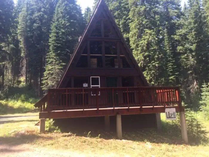
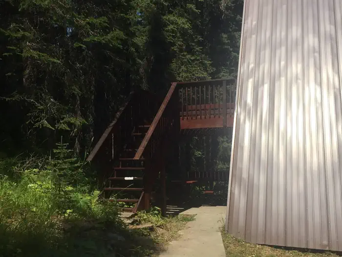
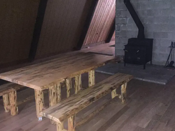
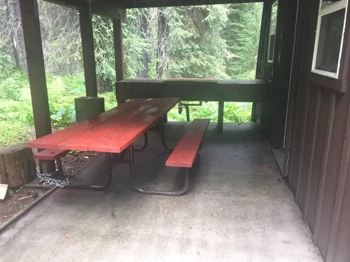
Overview Beaver Creek A-Frame is located on the St. Joe Ranger District of the Idaho Panhandle National Forests in the heart of the Bitterroot Mountains. It is only a few miles from the St. Joe Wild and Scenic River and the historic Red Ives Ranger Station. The area is well known for its abundance of outdoor activities, such as site seeing, hiking, ATV/UTVing, fishing, and hunting. There is no cell service in the area. Recreation ATVing, UTVing, hiking, hunting, fishing, berry picking, site seeing. Facilities Beaver Creek A-Frame is a rustic cabin. The cabin is furnished with only a picnic table and woodstove. It is 1900 sq. ft with an upstairs, 2 decks, and covered outside cooking area. There is a small creek in close proximity as well as a vault toilet. The cabin can fit eight people. Natural Features Beaver Creek A-Frame is located on the Beaver Creek Drainage which is heavily forested, rugged, and remote. Nearby Attractions Historic Red Ives Ranger Station, St. Joe Wild and Scenic River, Mallard Larkins Pioneer Area, Snow Peak WMA. Closest towns with amenities are St. Regis, MT (approx 39 miles) and Avery, ID (approx 40 miles). There are also many miles of nonmotorized and motorized trails in the area.
From the managing agency.
Is Beaver Creek A-Frame Cabin (ID) free?
We do not have a fee on record for Beaver Creek A-Frame Cabin (ID). Confirm the cost locally before you go.
How do I get to Beaver Creek A-Frame Cabin (ID)?
Beaver Creek A-Frame Cabin (ID) is at 47.0681, -115.4046. We do not hold written directions for this one, so navigate to the coordinates.
Nearby
SourceSource data is agency published. Last synced September 19, 2026. Community reports and photos are submitted by travelers and are not verified by the agency.
