
WHITEHORSE CAMPGROUND
USFS · Campground · Fee
Fast facts
- Cost
- Fee charged
- Managed by
- USFS
- Type
- Campground
- Hours
- Open 24 hours/day
- Reservations
- fs.usda.gov
- Phone
- 1-530-283-0555
- Nearest dump station
- Almanor RV Dump Station · 22.9 mi
- Coordinates
- 39.8881, -121.1411
- Last verified
- September 19, 2026



About this place
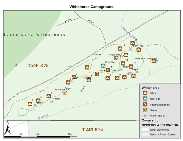
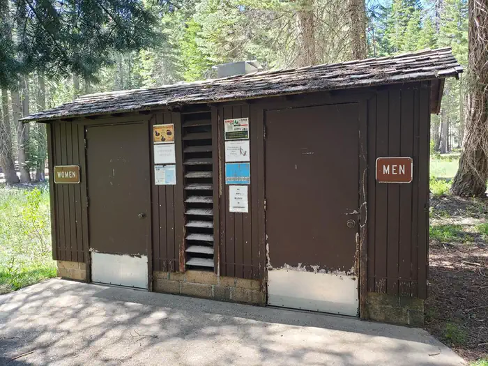
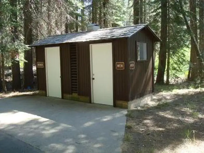
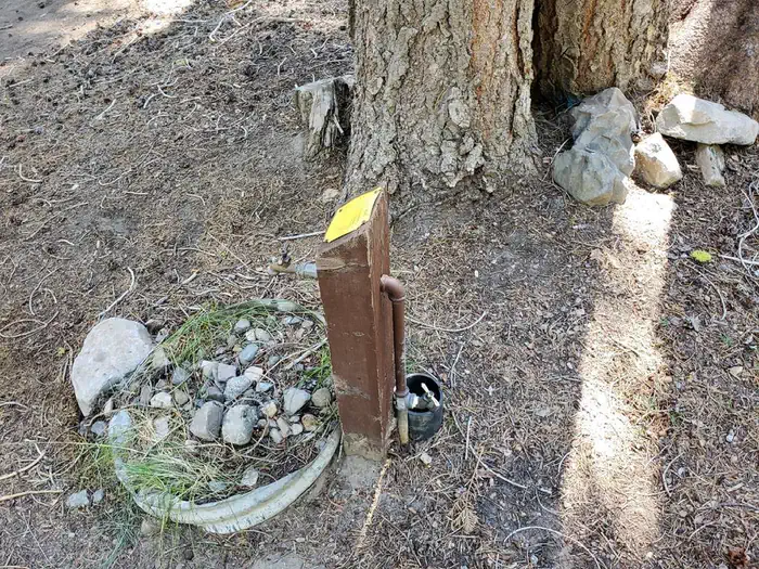
Overview Whitehorse campground is located within three miles of Bucks Lake in the northern Sierra Mountains on the Plumas National Forest. The Bucks Lake area offers year-round recreation activities including fishing, hiking, snowmobiling, skiing,snowshoeing and horseback riding. Recreation Staying at the Whitehorse campground provides access to several activites located in the greater Bucks Lake area. Fishing, boating, and canoeing, as well as hiking are all activities that can be achieved by staying in this campground. There are walking trails to the lake. A hiking trail runs from the campground and provides access to the Bucks Lake Wilderness and the Pacific Crest Trail. Marinas and boat docks are also within a short drive as well as restaurants at the Lakeside Resort and Bucks Lake Lodge which will re-open under new management in the summer for 2025, weather permitting. Limited supplies and a deli are located at the Haskins Valley Store just a short drive away. Facilities Your camping fees make a difference!!! In 2024 this campground recieved new concrete picnic tables and bear proof food storage lockers in most campsites. Vault toilets, water and trash services are on site as well. Natural Features This campground is set in a fir and pine forest offering shade during the warm summer months. Situated at 5,500 feet in elevation, the campground is settled along a small creek that feeds into Bucks Lake. Nearby Attractions The nearby Bucks Lake Lodge has a bar, restaurant and store offering fishing supplies and groceries.
From the USFS.
Is WHITEHORSE CAMPGROUND free?
No. WHITEHORSE CAMPGROUND charges a fee. It is managed by the USFS. Sites are reservable through fs.usda.gov.
How do I get to WHITEHORSE CAMPGROUND?
WHITEHORSE CAMPGROUND is at 39.8881, -121.1411. We do not hold written directions for this one, so navigate to the coordinates.
Nearby
SourceData from the USFS. Last synced September 19, 2026. Community reports and photos are submitted by travelers and are not verified by the agency.
