
Rock Creek Lake (Inyo National Forest, CA)
Campground · Fee not listed
Fast facts
- Cost
- Not listed. Check locally.
- Type
- Campground
- Phone
- 760-873-2500
- Coordinates
- 37.4538, -118.7390
- Last verified
- September 19, 2026
About this place
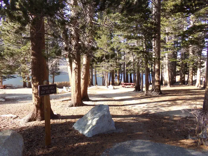
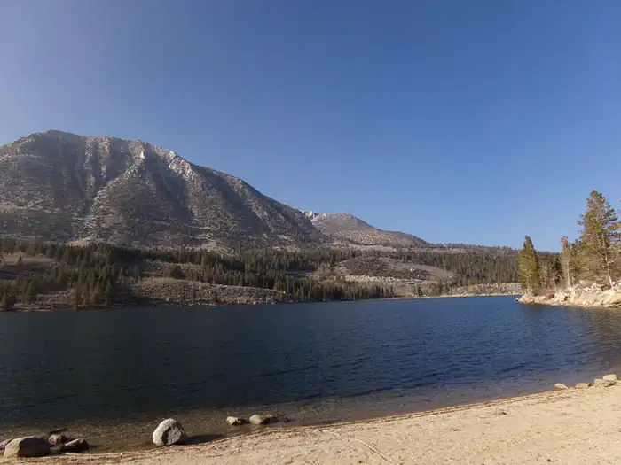
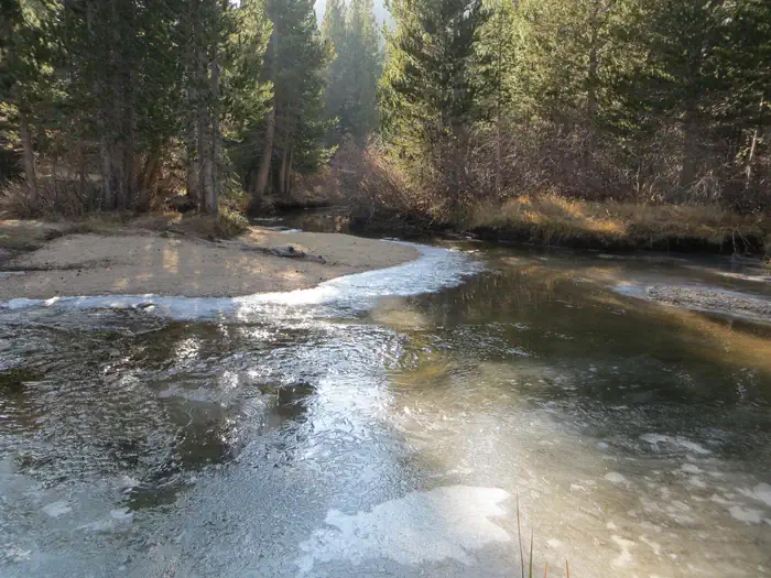
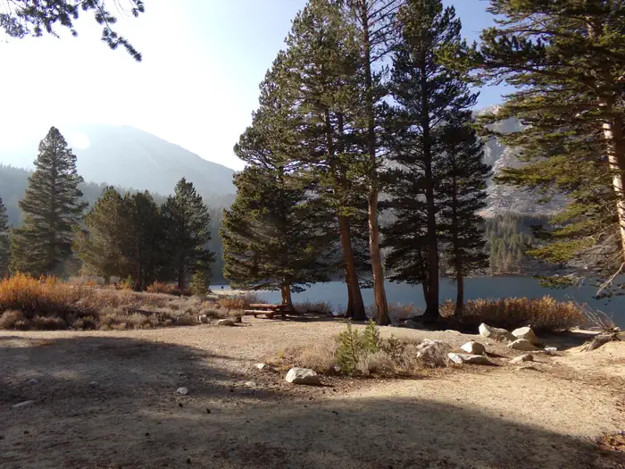
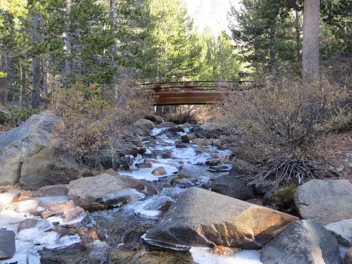
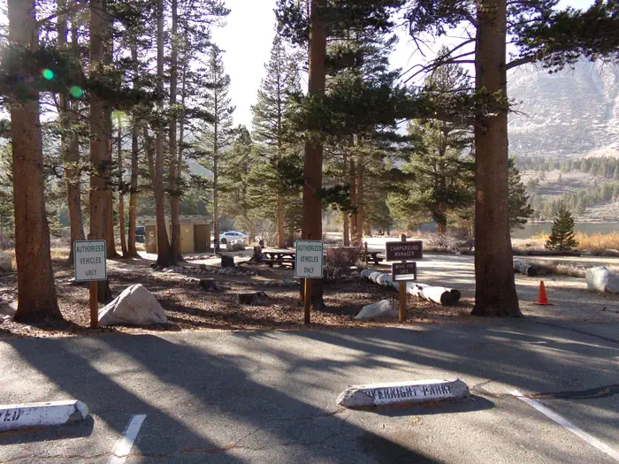
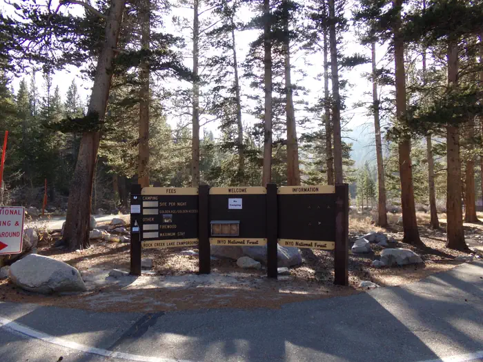
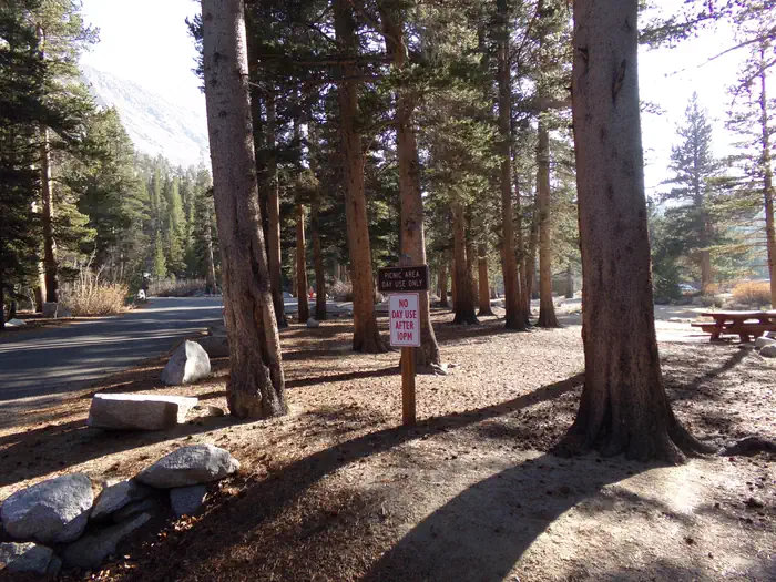
Overview Recreation Rock Creek and other waterways in the eastern Sierra Nevada Mountains are known for exceptional trout fishing. A catch from the lake may include brook, brown, rainbow and stocked Alpers trout, while anglers may be treated to golden trout in the backcountry. Power boats on the lake are limited to electric motors only. The area's majestic scenery and challenging trails are a draw for hikers, mountain bikers and horseback riders. The Tamarack Trail begins in the campground and wanders up to several high-elevation, glacially-carved alpine lakes and ponds. Facilities The campsites are well-spaced along the lake shore, with several tent-only, walk-in sites overlooking the lake. Boat rentals, educational programs, groceries and showers are all nearby. Firewood is available on-site for a fee. Bears inhabit the area, so bear-proof lockers are provided for campers to store food. Natural Features The campsites at Rock Creek Lake sit on a low hill with scattered aspen and lodgepole pine trees overlooking the lake's crystal blue waters. At an elevation of 9,600 feet, the facility affords visitors excellent mountain views. The area is home to abundant wildlife, including black bear, mountain lions, mule deer, pine martin, pika and many species of fish and birds. Contact Info For facility specific information, please call (760) 935-4121. Nearby Attractions Visitors have convenient access the magnificent John Muir Wilderness, which stretches for 100 miles along the crest of the Sierra Nevada Mountains. It is a land of lofty snow-capped mountains, deep canyons and vast expanses of glacially-carved terrain, and offers extensive hiking, mountain biking and horseback riding trails.
From the managing agency.
Is this site free?
We do not have a fee on record for this site. Confirm the cost locally before you go.
How do I get to this site?
this site is at 37.4538, -118.7390. We do not hold written directions for this one, so navigate to the coordinates.
Nearby
- Rock Creek Lake Group Camp (Inyo National Forest, CA)0.0 mi
- Rock Creek Lake Group Camp0.1 mi
- Rock Creek Lake Campground0.4 mi
- Upper Pine Grove Campground1.3 mi
- Mosquito Flat Backpacker Campground1.4 mi
- Pine Grove Campground1.4 mi
- East Fork Campground – Inyo National Forest (CA)2.4 mi
- PALISADES GROUP CAMPGROUND2.4 mi
No other services within 50 mi on the record.
SourceSource data is agency published. Last synced September 19, 2026. Community reports and photos are submitted by travelers and are not verified by the agency.
