
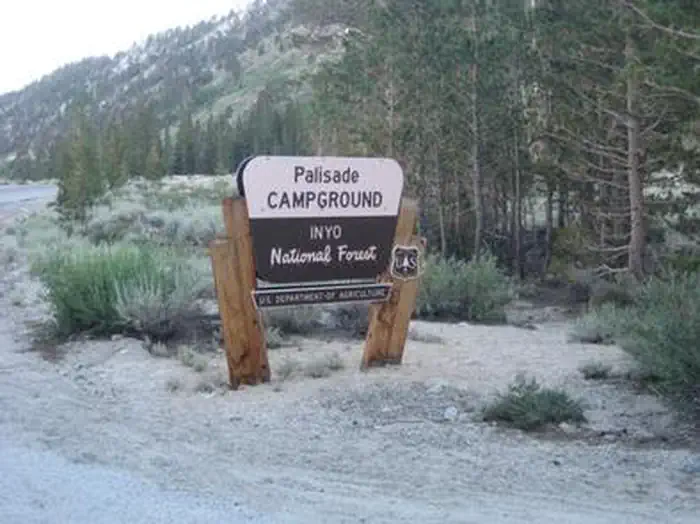
PALISADES GROUP CAMPGROUND
Campground · Fee not listed
Fast facts
- Cost
- Not listed. Check locally.
- Type
- Campground
- Phone
- 760-935-4825
- Coordinates
- 37.4833, -118.7167
- Last verified
- September 19, 2026


About this place
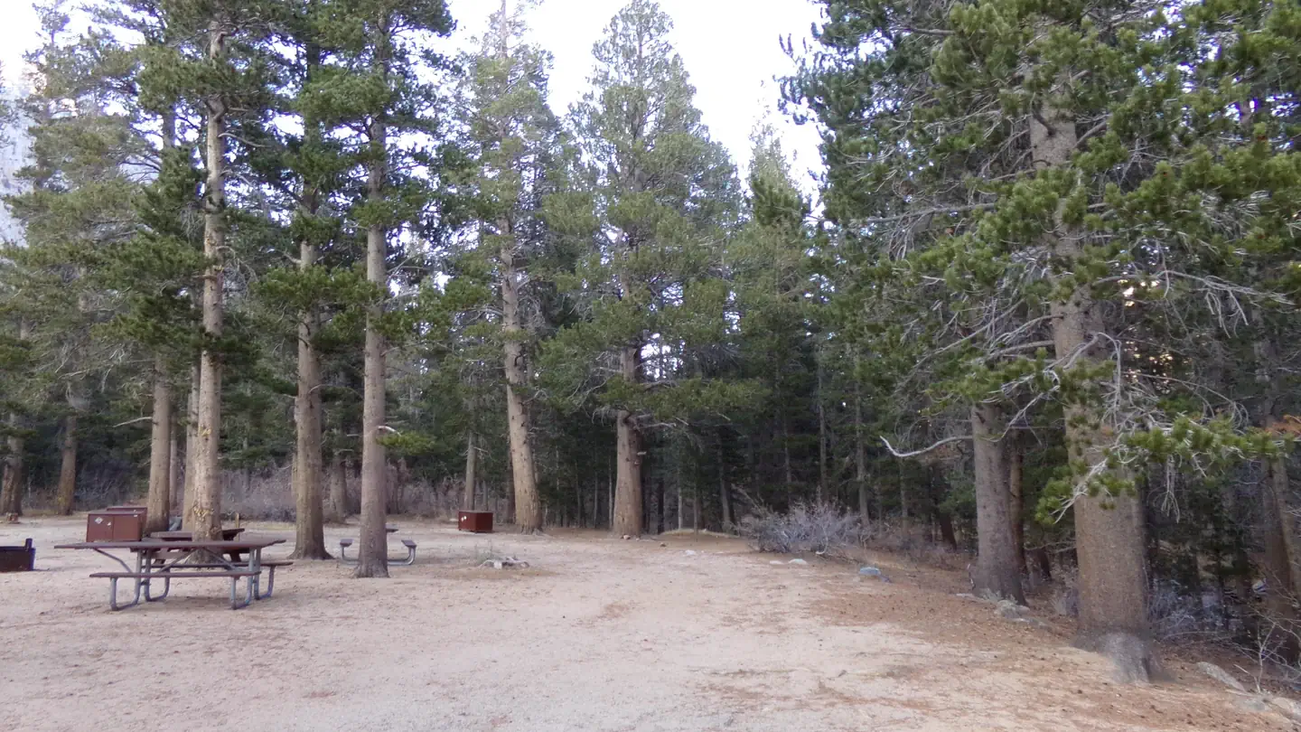
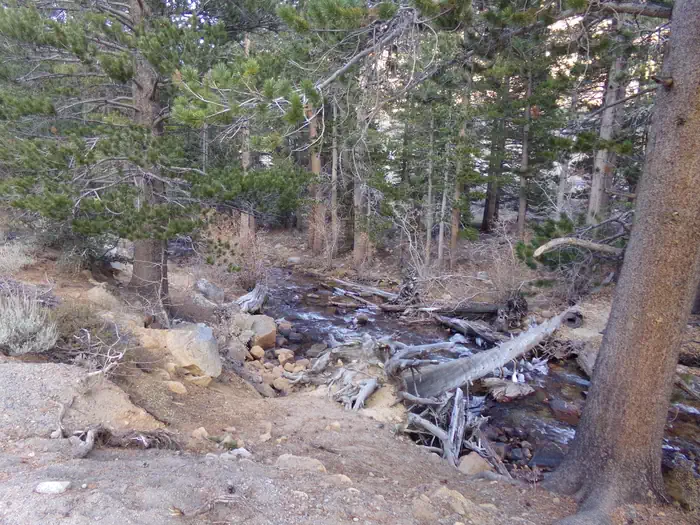
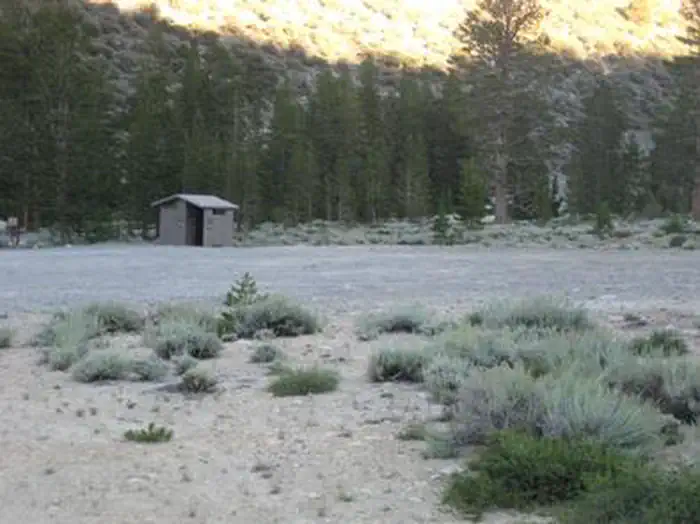
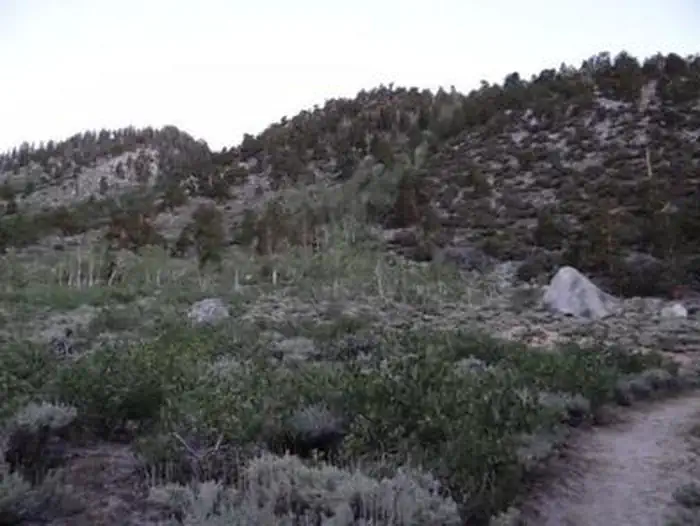
Overview Palisades Group Campground lies along Rock Creek in Inyo National Forest, near Mammoth Lakes and Bishop, California. Well-suited for large families and groups, the facility provides access to fishing, hiking, scenic driving, photography and wildlife viewing. Recreation Hiking and fishing opportunities abound, with local lakes and streams within walking and driving distance. The eastern Sierra Nevada Mountains are known for their exceptional trout fishing. A catch from the creek may including brook, brown, rainbow and stocked Alpers trout, while anglers may be treated to golden trout in the backcountry. There are several hiking trails in and around Rock Creek Canyon, some of which meander around high-elevation alpine lakes. Facilities Palisades has ample shade and a private loop with five tables and campfire rings. The site can also serve as an overflow group campground for groups of 25 or less who are not able to reserve the nearby Rock Creek Lake Group site. Natural Features The campground sits at an elevation of 8.800 feet, at the bottom of a steep canyon adjacent to Rock Creek and amidst aspen and lodgepole pine trees. The area is home to abundant wildlife, including black bear, mountain lions, mule deer, pine martin, pika and many species of fish and birds. Contact Info For facility specific information, please call (760) 935-4824. Nearby Attractions For campers interested in local events, Mule Days are held in nearby Bishop over Memorial Day weekend, and the Mammoth Jazz Jubilee is hosted in Mammoth in mid-July.
From the managing agency.
Is PALISADES GROUP CAMPGROUND free?
We do not have a fee on record for PALISADES GROUP CAMPGROUND. Confirm the cost locally before you go.
How do I get to PALISADES GROUP CAMPGROUND?
PALISADES GROUP CAMPGROUND is at 37.4833, -118.7167. We do not hold written directions for this one, so navigate to the coordinates.
Nearby
- East Fork Campground – Inyo National Forest (CA)0.0 mi
- East Fork Campground0.3 mi
- Palisade Group Camp0.8 mi
- Pine Grove Campground1.0 mi
- Upper Pine Grove Campground1.1 mi
- Big Meadows Campground2.0 mi
- Rock Creek Lake Group Camp2.3 mi
- Rock Creek Lake (Inyo National Forest, CA)2.4 mi
No other services within 50 mi on the record.
SourceSource data is agency published. Last synced September 19, 2026. Community reports and photos are submitted by travelers and are not verified by the agency.
