
LONG POINT (CA)
Campground · Fee not listed
Fast facts
- Cost
- Not listed. Check locally.
- Type
- Campground
- Phone
- 530-283-0555
- Nearest dump station
- Merrill Dump Site · 28.4 mi
- Coordinates
- 40.1783, -120.5783
- Last verified
- September 19, 2026
About this place
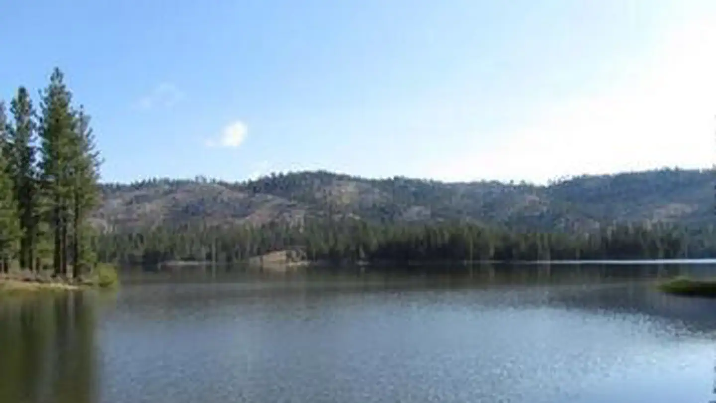
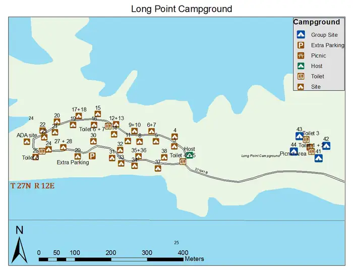
Overview Long Point Campground is one of three in the Antelope Lake Recreation Area. It is situated on the lake's southwestern side, providing clear water views at nearly every location within the campground. Antelope Lake is one of the more remote, quiet lakes in the Sierra Nevada's Plumas National Forest, making it a popular destination for anglers and explorers of all abilities. Recreation Due to its prime location on the lake, Long Point is known for great bass fishing. Sailing and other boating activities are also popular at Antelope Lake. Some sites are very near to shallow water and are ideal for wading near the campground; other sites are near deeper water, allowing visitors the opportunity to anchor their boats nearby. Facilities The campground offers multiple single-family and larger group campsites, accommodating both tent and RV camping. With Antelope Lake adjacent to the campground on three sides, most sites have a view of the water. Tables and campfire rings with grills are provided, as well as vault toilets and drinking water. Natural Features The campground is situated at an elevation of 5,000 ft. and is shaded with plentiful pine and fir trees. It is nestled in the beautiful northern Sierra Nevada mountain range, offering forested woods and scenic vistas as far as the eye can see. Contact Info For facility specific information, please call (530) 927-7878. Nearby Attractions Campground is located about 30 miles from the small town of Taylorsville.
From the managing agency.
Is LONG POINT (CA) free?
We do not have a fee on record for LONG POINT (CA). Confirm the cost locally before you go.
How do I get to LONG POINT (CA)?
LONG POINT (CA) is at 40.1783, -120.5783. We do not hold written directions for this one, so navigate to the coordinates.
Nearby
SourceSource data is agency published. Last synced September 19, 2026. Community reports and photos are submitted by travelers and are not verified by the agency.
