
LONE ROCK (CA)
Campground · Fee not listed
Fast facts
- Cost
- Not listed. Check locally.
- Type
- Campground
- Phone
- 530-283-0555
- Nearest dump station
- Merrill Dump Site · 26.5 mi
- Coordinates
- 40.1953, -120.6172
- Last verified
- September 19, 2026
About this place
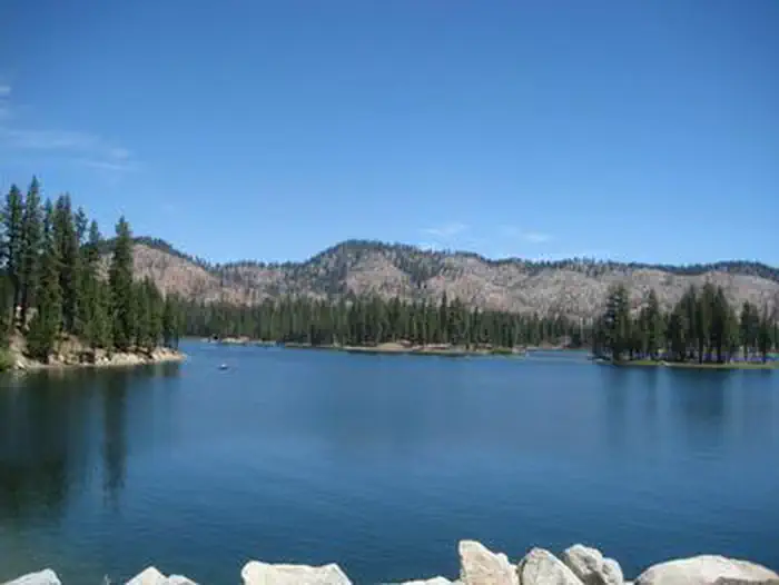
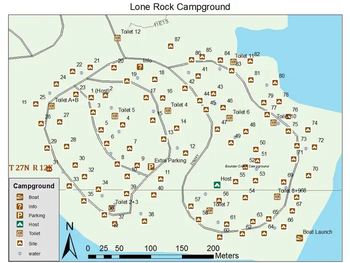
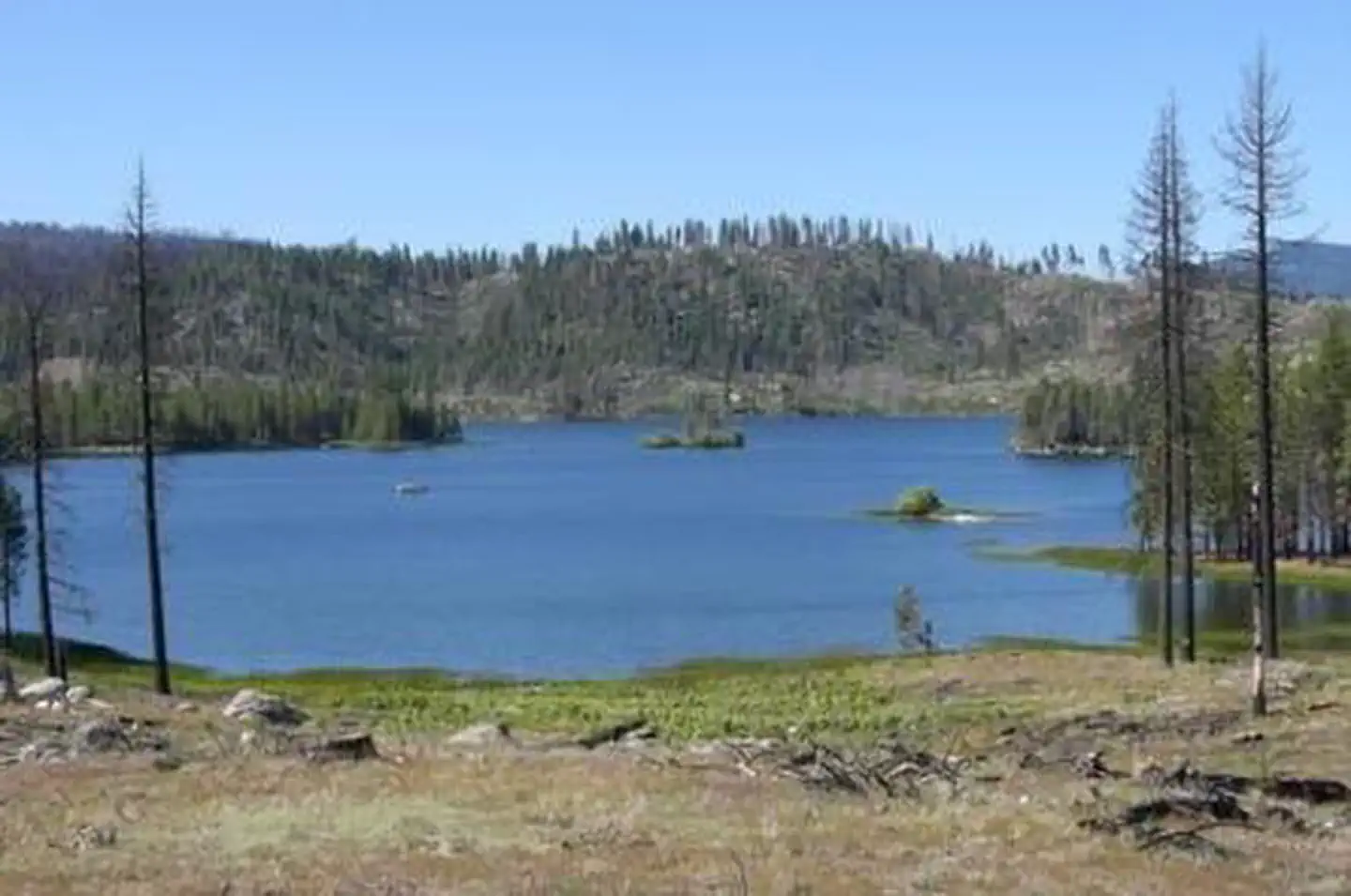
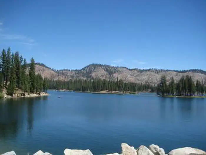
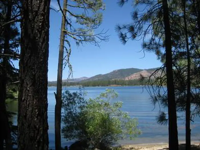
Overview Lone Rock Campground is one of three in the Antelope Lake Recreation Area. Nestled in the beautiful northern Sierra Nevada mountain range, it offers forested woods and scenic vistas as far as the eye can see. Antelope Lake is one of the more remote, quiet lakes in the Plumas National Forest, making it a popular destination for anglers and explorers of all abilities. Recreation The campground's close proximity to the lake provides visitors with access to fishing, swimming, boating, water skiing and other water-related recreation activities. Anglers can look forward to a well-stocked trout, bass and catfish population. Educational programs are offered at the campground's amphitheater. Hiking and mountain biking opportunities abound. The Sunset Point trail begins near the campground. Facilities The campground offers multiple sites for both tent and RV camping, several of them adjacent to the lake, providing views of the lake. Space allows for two vehicles at each site; extra vehicles can be parked in nearby overflow parking at no extra charge. Tables and campfire rings with grills are provided, as well as vault toilets and drinking water. Natural Features Tall pine and fir trees provide plentiful shade to the area, which is situated at an elevation of 5,000 feet. Nearby Attractions The campground is 30 miles from the small town of Taylorsville. The drive along Janesville Grade has some terrific views.
From the managing agency.
Is LONE ROCK (CA) free?
We do not have a fee on record for LONE ROCK (CA). Confirm the cost locally before you go.
How do I get to LONE ROCK (CA)?
LONE ROCK (CA) is at 40.1953, -120.6172. We do not hold written directions for this one, so navigate to the coordinates.
Nearby
SourceSource data is agency published. Last synced September 19, 2026. Community reports and photos are submitted by travelers and are not verified by the agency.
