
BOULDER CREEK (CA)
Campground · Fee not listed
Fast facts
- Cost
- Not listed. Check locally.
- Type
- Campground
- Phone
- 530-283-0555
- Nearest dump station
- Merrill Dump Site · 27.4 mi
- Coordinates
- 40.1833, -120.6119
- Last verified
- September 19, 2026
About this place
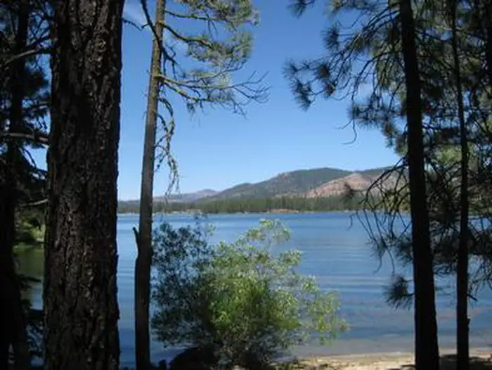
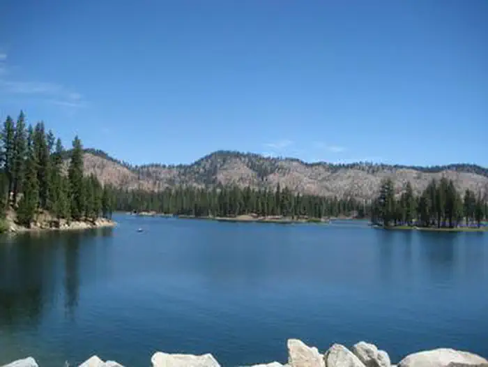
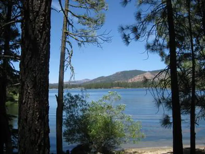
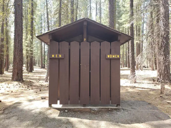
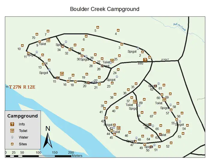
Overview Boulder Creek Campground is located in the northern Sierra Nevada Mountains, where ancient glaciers gave way to numerous mountain lakes and vast granite peaks. Year round, outdoor enthusiasts are attracted to the area's many streams and lakes, beautiful deep canyons, rich mountain valleys, meadows and lofty peaks. Recreation The campground provides educational campfire programs at the amphitheater. It offers several single-family campsites and while none are directly on the lake, a few sites have a limited view of the water. Antelope Lake provides ample opportunities for swimming, canoeing, kayaking, boating and water skiing. A multi-lane boat ramp is available less than two miles from the campground. Anglers enjoy fishing for large and smallmouth bass, bluegill and a variety of trout. The rugged terrain and dusty mountain trails are perfect for mountain biking, but offer limited opportunities for hiking near the campground. Facilities The campground offers several single-family sites open to both tent and RV camping, a short walk from the lake. Several sites are also available on a first-come, first-served basis. Tables and campfire rings are provided, as well as vault toilets and drinking water. Natural Features The campground is located near Antelope Lake, which is a small, remote lake with about 15 miles of forested shoreline. Surrounding the lake are mountains blanketed with Jeffrey and lodgepole pines and fir trees. Protected coves around the lake attract several species of migratory birds. The site sits at an elevation of 5,000 feet. Nearby Attractions Fishing is also plentiful in Indian Creek, below the spillway at nearby Antelope Dam. The nearest gas and phone is 25 miles from the campground in Taylorsville, CA.
From the managing agency.
Is BOULDER CREEK (CA) free?
We do not have a fee on record for BOULDER CREEK (CA). Confirm the cost locally before you go.
How do I get to BOULDER CREEK (CA)?
BOULDER CREEK (CA) is at 40.1833, -120.6119. We do not hold written directions for this one, so navigate to the coordinates.
Nearby
SourceSource data is agency published. Last synced September 19, 2026. Community reports and photos are submitted by travelers and are not verified by the agency.
