
LONE PINE
Campground · Fee not listed
Fast facts
- Cost
- Not listed. Check locally.
- Type
- Campground
- Phone
- 760-937-6070
- Coordinates
- 36.5976, -118.1848
- Last verified
- September 19, 2026


About this place
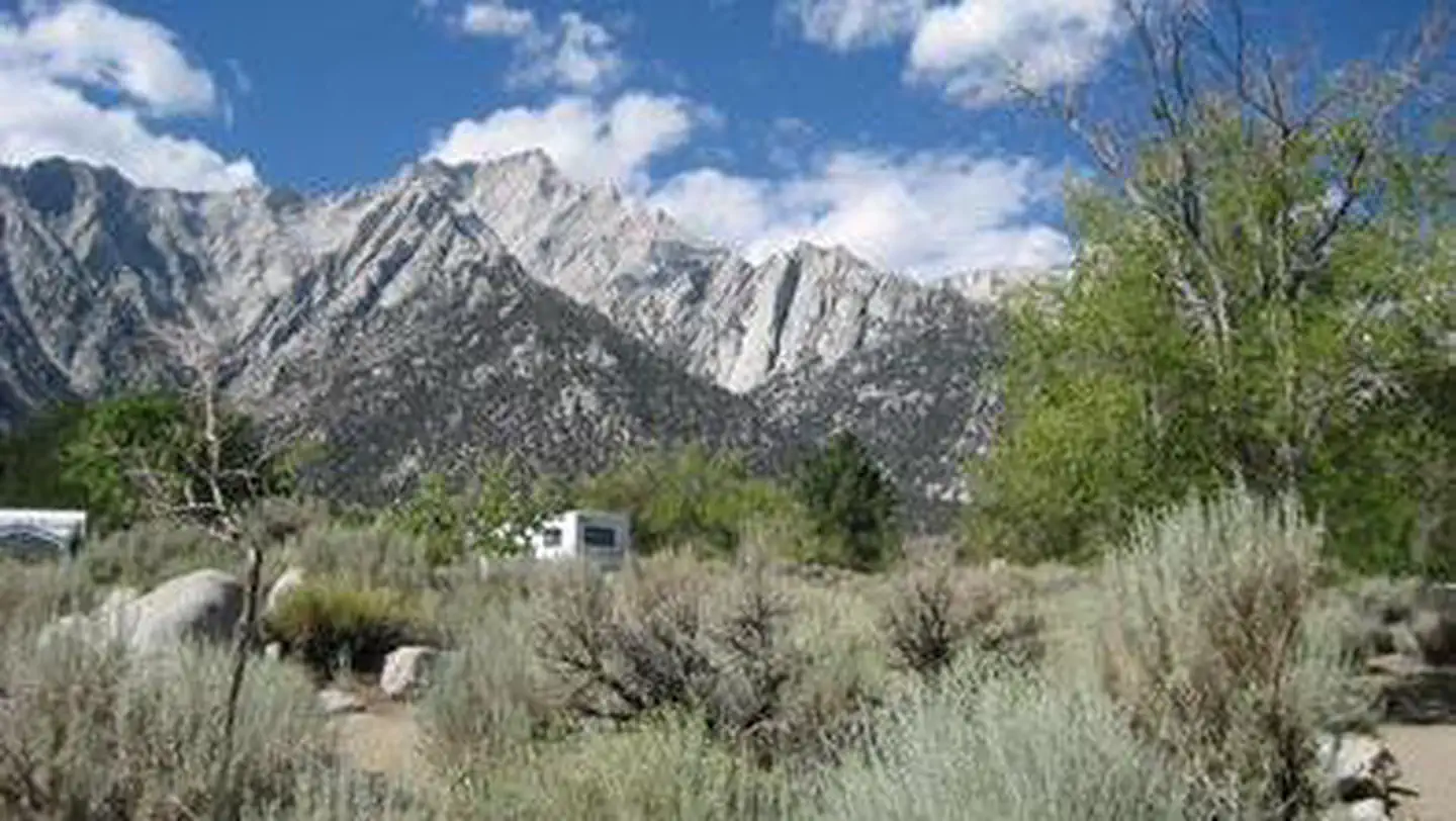
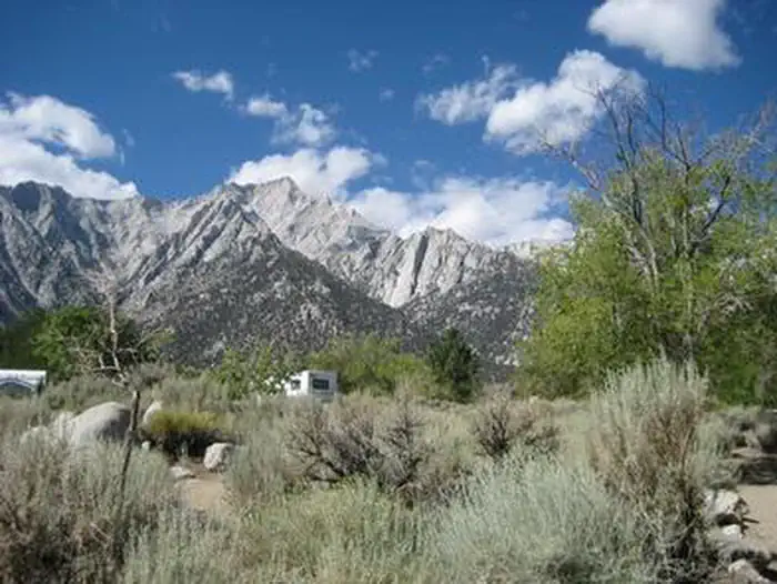
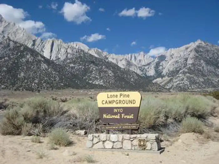
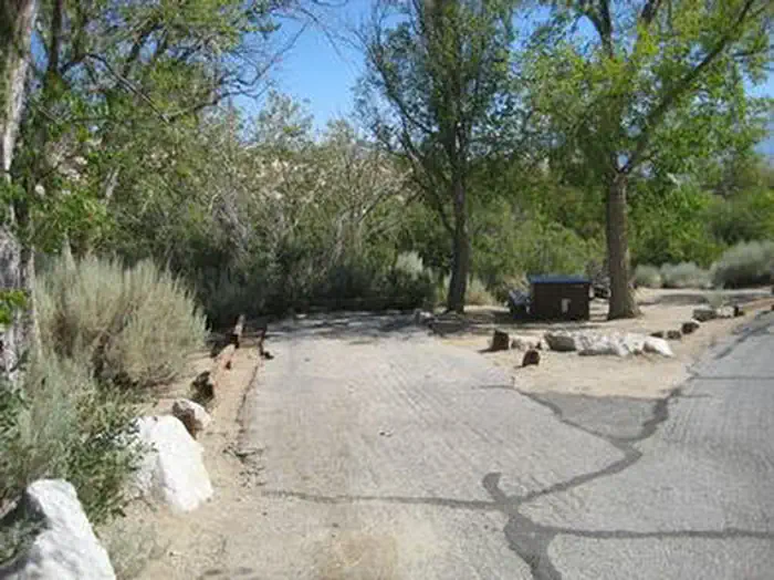
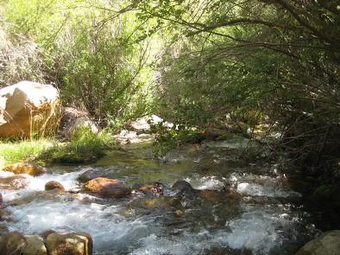
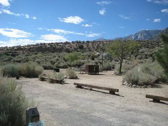
Overview Lone Pine Campground is located near the base of Mt. Whitney, the highest peak in the continental United States, offering unparalleled views of the mountain and surrounding peaks of the Sierra Nevada Mountains. An abundance of fishing and hiking opportunities can be found both in and around Lone Pine. Recreation Hikers are drawn to the majestic scenery and challenging trails of the Whitney Portal area. Trails lead to the John Muir Wilderness, including Mt. Whitney, and Sequoia and Kings Canyon National Park. The Mt. Whitney trailhead is just 7 miles away. The less challenging National Recreation Trail connects Lone Pine Campground to Whitney Portal and its picnic area and fishing pond. The eastern Sierras are also known for exceptional trout fishing, and anglers can access Lone Pine Creek and a nearby pond. Facilities Lone Pine is especially popular for RV camping. There are also a few tent-only sites and one tent-only group site that can accommodate up to 15 guests. Campsites are arranged around a single loop and have little to no shade or privacy due to the desert landscape. Firewood is available for purchase on-site, and showers are located 8 miles west of the campground at the Portal Store. Natural Features The campground is nestled in sagebrush alongside Lone Pine Creek. At an elevation of 6,000 feet, the location offers clear views of surrounding granite peaks. Desert wildflowers add brilliant colors to the landscape in spring. The area is home to abundant wildlife, including black bear, mountain lions, mule deer, pine martin, pika and many species of fish and birds. This campground is especially prone to bear activity. Contact Info For facility specific information, please call (602) 726-1102. Nearby Attractions Campers can enter the John Muir Wilderness, a land of lofty snow-capped mountains, deep canyons and vast expanses of glacially carved terrain, via nearby trails. Mt. Whitney is within the wilderness area and entry is available by lottery for experienced hikers.
From the managing agency.
Is LONE PINE free?
We do not have a fee on record for LONE PINE. Confirm the cost locally before you go.
How do I get to LONE PINE?
LONE PINE is at 36.5976, -118.1848. We do not hold written directions for this one, so navigate to the coordinates.
Nearby
- Lone Pine Campground0.1 mi
- WHITNEY PORTAL2.6 mi
- Whitney Portal Campground2.6 mi
- Lone Pine Campground2.8 mi
- Whitney Portal Group Campground2.8 mi
- Mt. Whitney Trailhead Ravine Campground3.1 mi
- Tuttle Creek Campground3.9 mi
- Cottonwood Lakes Walk-in Campground10.0 mi
No other services within 50 mi on the record.
SourceSource data is agency published. Last synced September 19, 2026. Community reports and photos are submitted by travelers and are not verified by the agency.
