
SHARP CREEK
Campground · Fee not listed
Fast facts
- Cost
- Not listed. Check locally.
- Type
- Campground
- Phone
- 928-468-7135
- Nearest dump station
- Woods Canyon Dump Station · 3.5 mi
- Coordinates
- 34.2997, -110.9981
- Last verified
- September 19, 2026
About this place
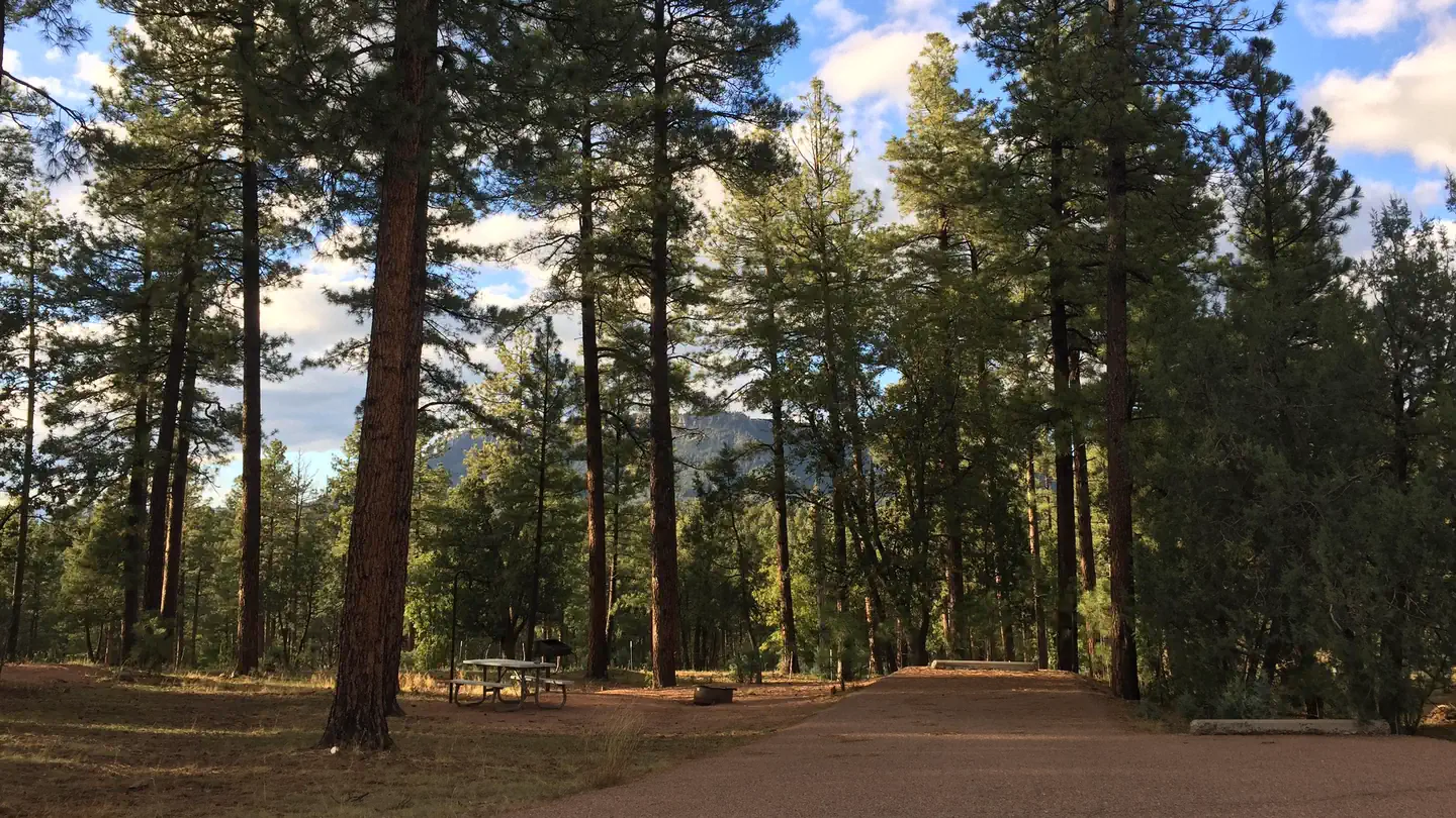
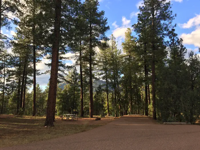
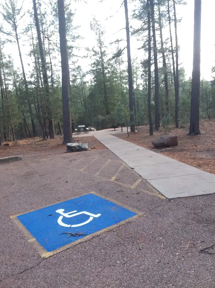
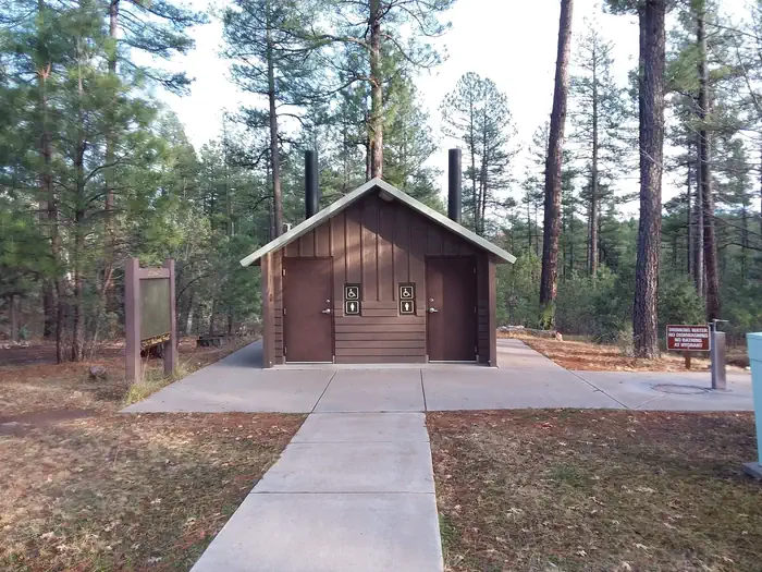
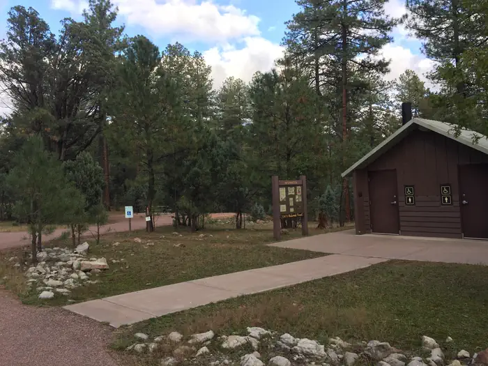
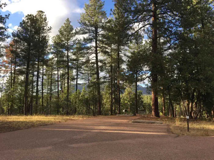
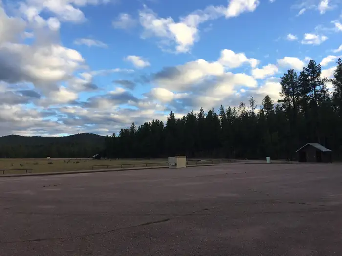
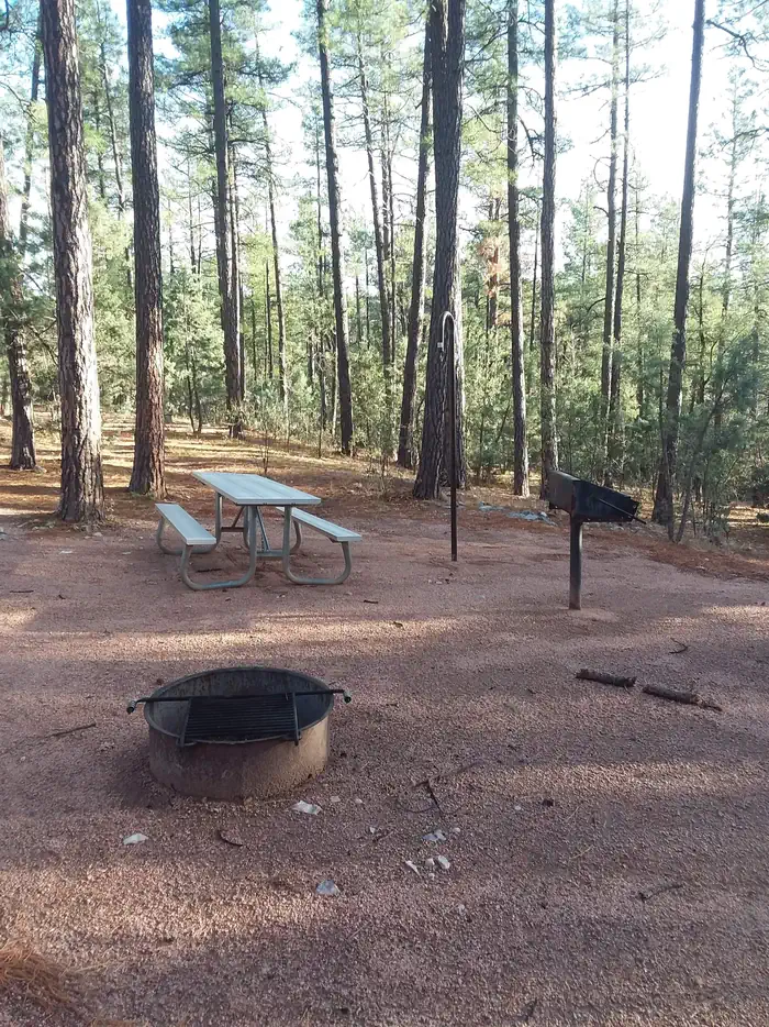
Overview Sharp Creek is a small campground located in an area of central Arizona known for its pleasant temperatures, spectacular scenery and outdoor recreation. There are tent-only, family and group sites to accommodate a wide range of visitors. Recreation The campground is in a central location for hiking, fishing, boating and picnicking. Anglers can try for trout in nearby Christopher Creek. Hikers and Mountain Bikers can access the National Recreation Highline Trail, which spans 63 miles along the base of the Mogollon Rim, from the 260 Trail three miles east of the campground. Two lakes nearby offer additional fishing and boating options. Facilities Sharp Creek is a small campground with 28 campsites conveniently spread out into 3 loops. Campsites are spacious, comfortable and well-maintained, with some shade. Each has a picnic table, grill, campfire ring and lantern holder. One additional loop contains three group campsites that can each accommodate 75 people. 19 Sites are reservable and 9 sites are first-come, first-serve. Payment for first-come, first-serve sites is completed using the on-site fee machine. No cash is accepted. Natural Features Sharp Creek sits at a cool 6,000 feet elevation, perfect for escaping the desert heat of southern Arizona and getting away to shaded forests and refreshing creeks and lakes. It is surrounded by a thick ponderosa pine forest below the Mogollon Rim. The clear waters of Christopher Creek are less than a mile away. The Mogollon Rim, pronounced by locals as "muggy-own," is a 200-mile long cliff in northern Arizona that ranges between 5,000 and 7,000 feet in elevation. The unique landscape was created by extreme erosion and faulting that has sculpted spectacular canyons and buttes. The rim serves as the geographical dividing line between the cool high country above and the hot, dry desert below. Contact Info For facility specific information, please call (928) 474-7900. Nearby Attractions The small town of Christopher Creek is less than a mile away and has a few restaurant and shopping options for basic conveniences. Woods Canyon and Willow Springs Lakes sit above the Mogollon Rim, only a 10-minute drive away, and offer boating and fishing. The National Recreation Highline Trail is just a few miles east on Highway 260.
From the managing agency.
Is SHARP CREEK free?
We do not have a fee on record for SHARP CREEK. Confirm the cost locally before you go.
How do I get to SHARP CREEK?
SHARP CREEK is at 34.2997, -110.9981. We do not hold written directions for this one, so navigate to the coordinates.
Nearby
SourceSource data is agency published. Last synced September 19, 2026. Community reports and photos are submitted by travelers and are not verified by the agency.
