
MOGOLLON CAMPGROUND
USFS · Campground · Fee
Fast facts
- Cost
- Fee charged
- Managed by
- USFS
- Type
- Campground
- Hours
- Open daily May - October
- Reservations
- recreation.gov
- Phone
- 928-535-9859
- Nearest dump station
- Woods Canyon Dump Station · 0.8 mi
- Coordinates
- 34.3214, -110.9567
- Last verified
- September 19, 2026


About this place
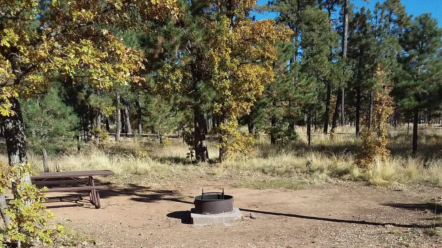
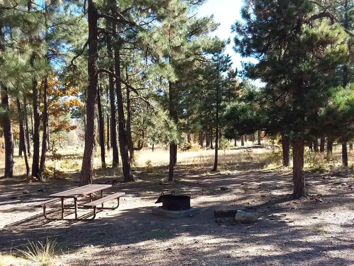
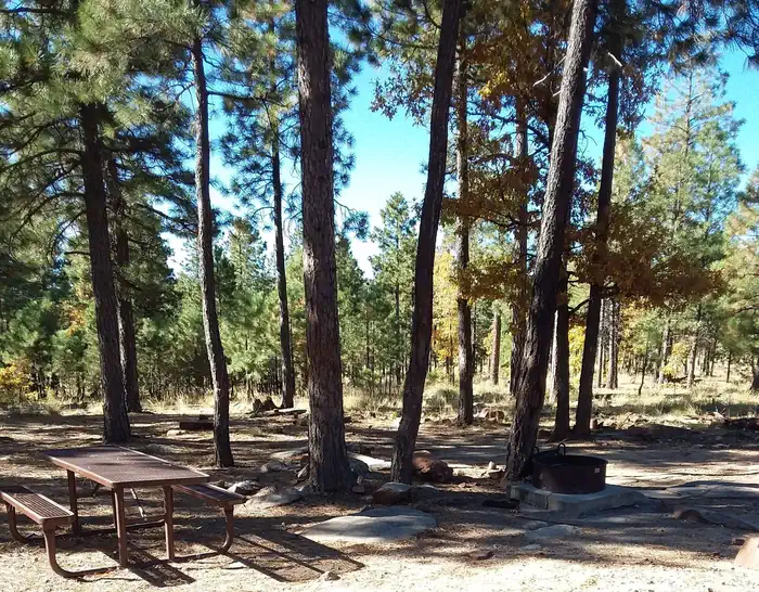
Overview Mogollon Campground, although not directly in the Woods Canyon Recreation area, sits just outside and is only two miles from the lake. For those who like spectacular views, this campground is one of the closest to the Mogollon Rim. Recreation Fishing and boating are available at Woods Canyon Lake which is approximately three miles from the campground on Road 105. Facilities Mogollon Campground has 26 sites (of which sites 14 through 26 are available for advanced reservation). All sites are parallel parking and approximately 40 feet. Sites can accommodate tents, pop-up campers, trailers, and motorhomes. There are two loops which have 13 sites per loop. Each campsite offers a campfire ring, grill and picnic table. Additional amenities include accessible vault toilets, drinking water and trash service. A camp host is available at the site. Natural Features Mogollon Campground is surrounded by ponderosa pines. The road to Mogollon is a sandy road off of Road 300. The campground itself is also sandy and gravel. Nearby Attractions Some groceries are available at the Marina Store at Woods Canyon Lake which is approximately three miles from the campground. The store also offers boat and kayak rentals. Woods Canyon Lake is a great lake for fishing. Contact Info For facility specific information, please call (928) 535-0181.
From the USFS.Official page
Is MOGOLLON CAMPGROUND free?
No. MOGOLLON CAMPGROUND charges a fee. It is managed by the USFS. Sites are reservable through recreation.gov.
How do I get to MOGOLLON CAMPGROUND?
GPS Info. (Latitude, Longitude): 34.32143, -110.95667 34?19'17"N, 110?57'24"W Located on Road 300 approximately 5 miles off of Highway 260.
Nearby
SourceData from the USFS. Last synced September 19, 2026. Community reports and photos are submitted by travelers and are not verified by the agency.
