
CROOK CAMPGROUND
Campground · Fee not listed
Fast facts
- Cost
- Not listed. Check locally.
- Type
- Campground
- Phone
- 928-535-9233
- Nearest dump station
- Woods Canyon Dump Station · 0.4 mi
- Coordinates
- 34.3164, -110.9417
- Last verified
- September 19, 2026
About this place
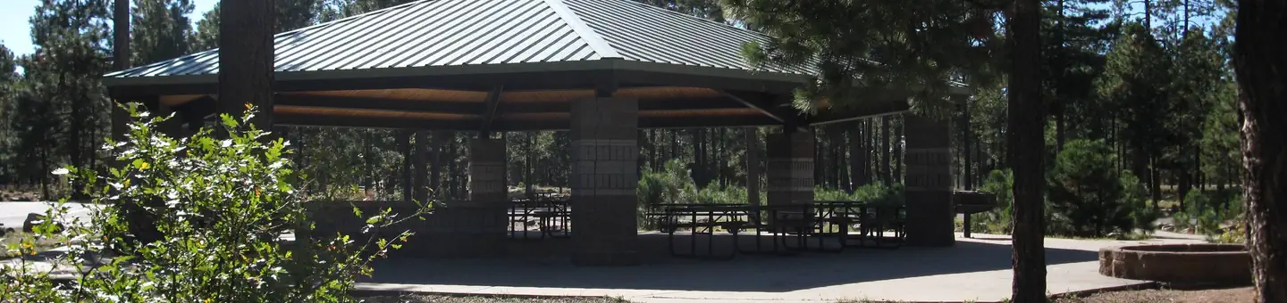
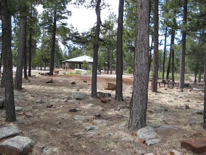
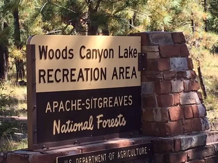
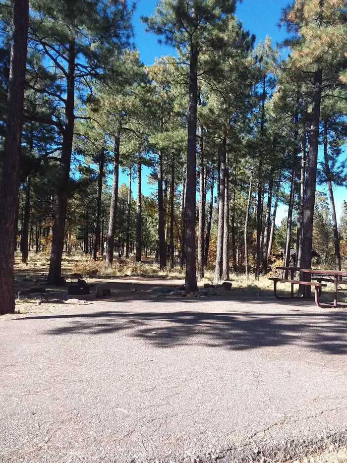
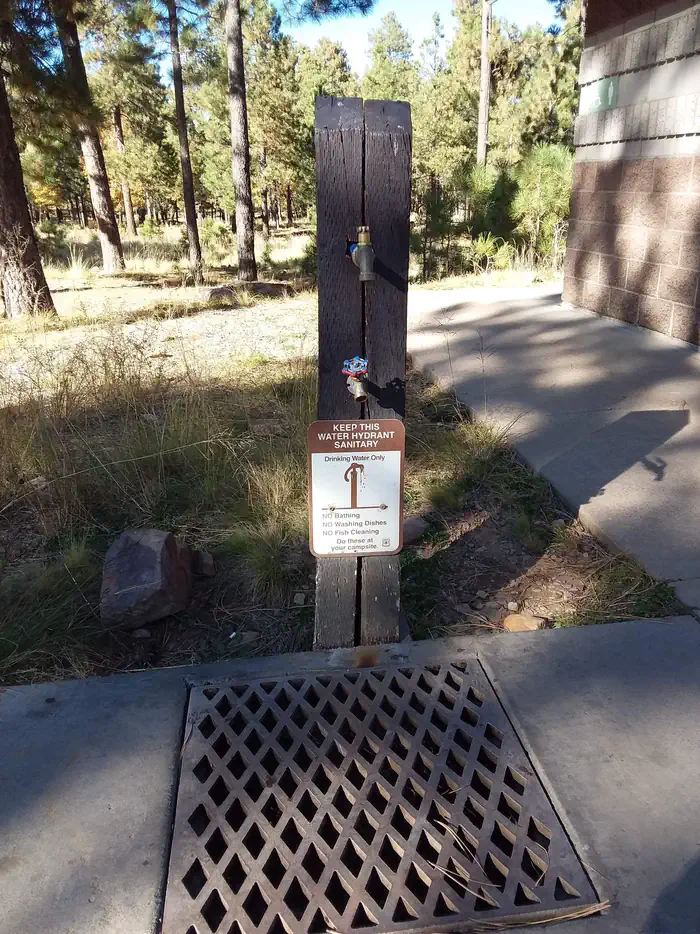
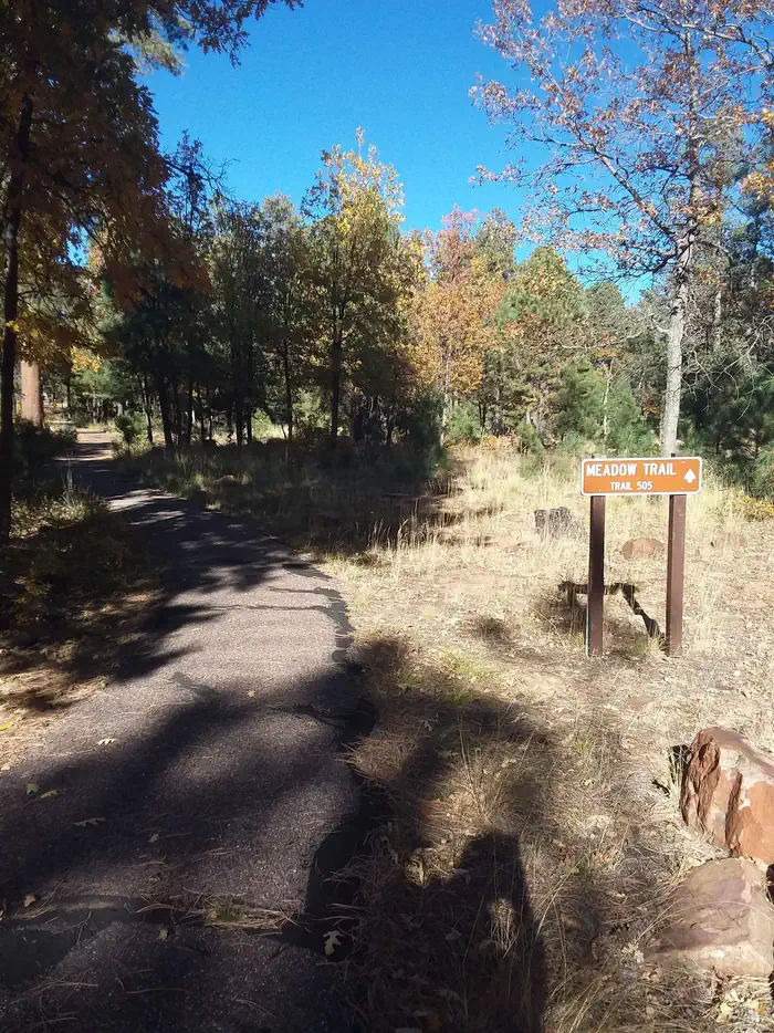
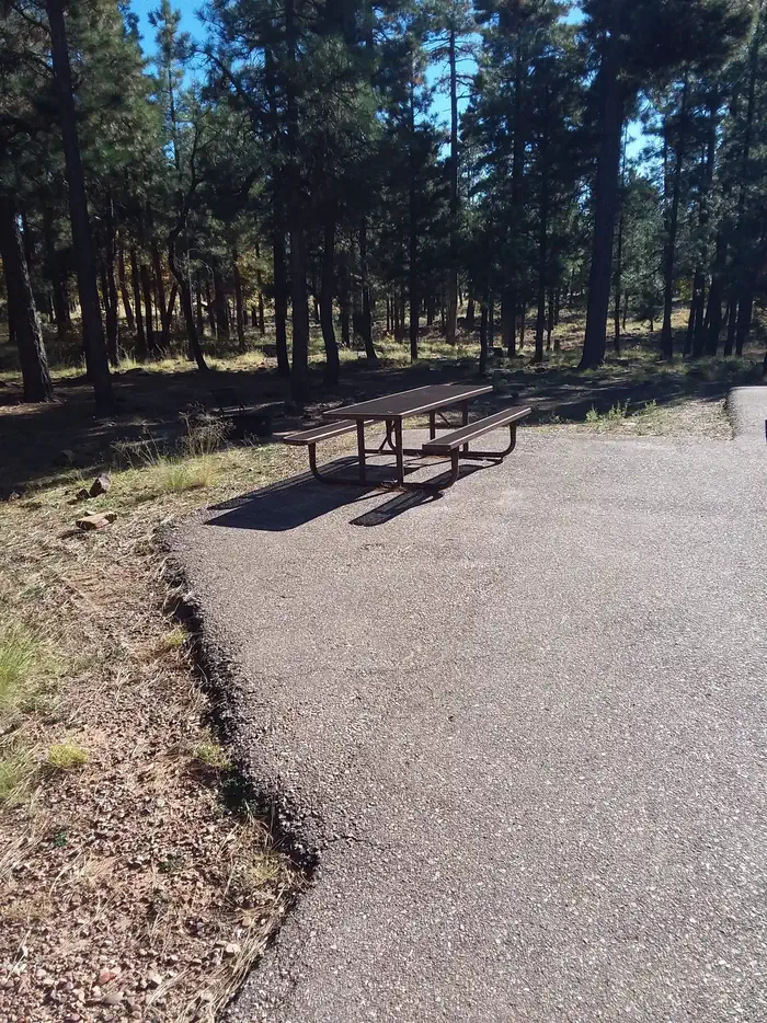
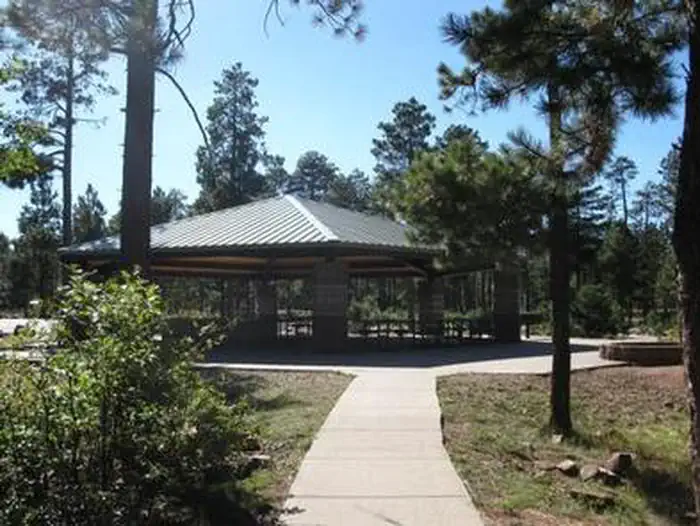
Overview This group campground is situated in a tall ponderosa pine forest, just down the road from the popular Woods Canyon Lake in north central Arizona. The shaded campground is a nice hideaway for large groups with opportunities for boaters, anglers, hikers, families and photographers. Recreation Popular activities include trout fishing, hiking, boating, cycling, horseback riding, and photography. Woods Canyon Lake is the most popular of four lakes in the Rim Lakes Recreation Area. Woods Canyon Lake only allows electric boat motors. The paved Meadow Trail borders Crook Campground and will bring you about 1 mile north to Woods Canyon Lake or one quarter mile south to the The Rim Lakes Vista and Rim Trail is just a quarter mile from the campground and leads to spectacular views of the Mogollon Rim and surrounding area. Facilities The campground is arranged in two loops in a cul-de-sac design. Each has a group area that can host up to 110 campers and 26 vehicles (parallel parking only). The sites can accommodate both RVs and tents, though some areas are less suited for tent camping. A picnic shelter is located in the middle of the group use area. Groceries are available at the Woods Canyon Store, and a dump station is located near the park. Firewood is available for sale at the store and onsite. Natural Features The campground is situated a ponderosa pine forest at an elevation of 7,500 feet. Wildlife viewing includes birds, squirrels, deer and elk. Hikers who venture onto nearby trails are afforded expansive views of the land beneath the Mogollon Rim. The Mogollon Rim, pronounced by locals as "muggy-own," is a 200-mile long escarpment in northern Arizona that ranges between 5,000 and 7,000 ft. in elevation and serves as the geographical divide between the cool high country above and the hot, dry desert below. Summer temperatures can be very pleasant because of the elevation. However, the rainy season often brings afternoon thunderstorms from late June through August. Visitors should come prepared for rain and cool nighttime temperatures. Contact Info For facility specific information, please call (928) 535-0181. Nearby Attractions Gas, food, and groceries are available in Forest Lakes 9 miles east. The nearest full service community is Payson, Arizona, 34 miles west on Highway 260. Visitors can explore endless vistas and take part in many outdoor activities in the surrounding Apache-Sitgreaves National Forest, which encompasses 2 million acres of magnificent mountain country in east-central Arizona and New Mexico.
From the managing agency.
Is CROOK CAMPGROUND free?
We do not have a fee on record for CROOK CAMPGROUND. Confirm the cost locally before you go.
How do I get to CROOK CAMPGROUND?
CROOK CAMPGROUND is at 34.3164, -110.9417. We do not hold written directions for this one, so navigate to the coordinates.
Nearby
SourceSource data is agency published. Last synced September 19, 2026. Community reports and photos are submitted by travelers and are not verified by the agency.
