
LITTLE COON CREEK PARK
Campground · Fee not listed
Fast facts
- Cost
- Not listed. Check locally.
- Type
- Campground
- Phone
- 870-385-7126
- Coordinates
- 34.2304, -94.2514
- Last verified
- September 19, 2026

About this place
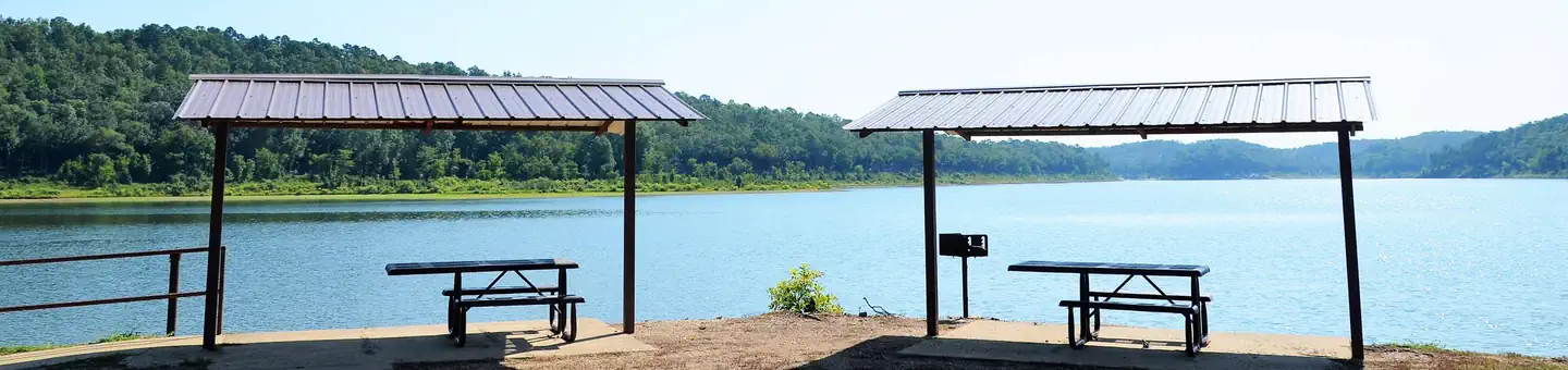
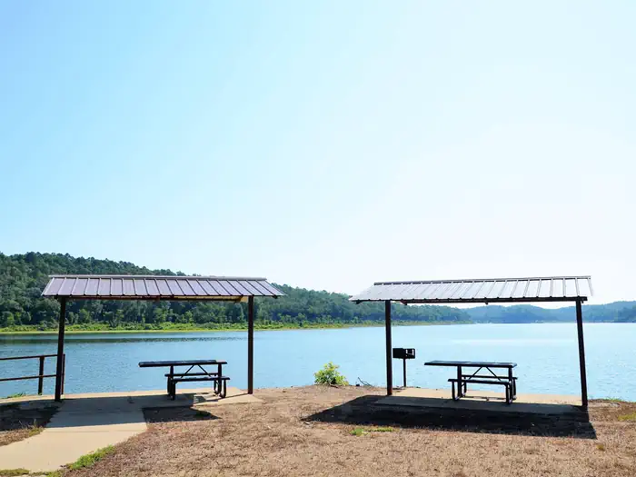
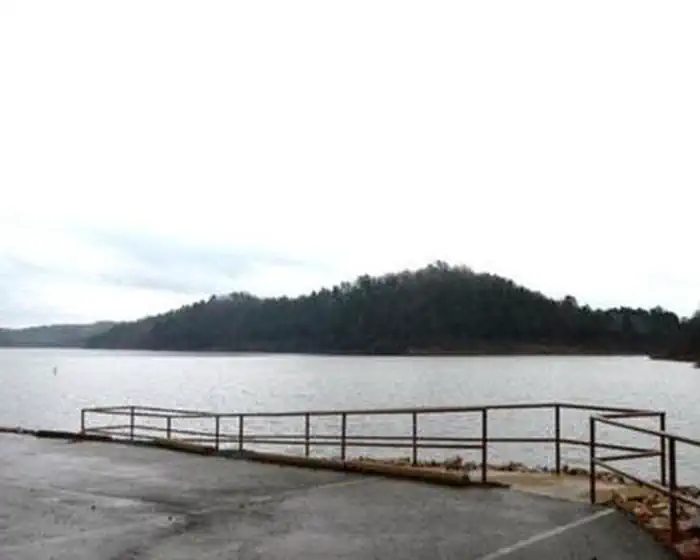
Overview Little Coon Creek Campground is located on Gillham Lake in southwestern Arkansas on the Cossatot River. The rugged terrain around the lake creates stunning views and provides for many opportunities for boating, fishing, hunting, and swimming. Recreation Visitors enjoy the lake for its vast boating opportunities, and a boat ramp is provided for easy water access. Anglers will find smallmouth, largemouth, and spotted bass, saugeye, crappie, channel and flathead catfish and various species of sunfish in the river. Hunting is allowed north of Little Coon Creek Park and on the eastern shore of the lake. Check with the Arkansas Game and Fish for Season Dates and Regulations. Lake maps are also available from any Park Attendant at the lake. Facilities Little Coon Creek provides 10 campsites and a group picnic shelter; each site has water and 50-amp electric hookups available. Additional amenities include hot showers with restrooms, a boat ramp with a handicap accessible fishing pier, a playground and a dump station nearby. Natural Features Gillham Lake spans 1,370 surface acres and boasts 36 miles of shoreline. The Dam was completed in 1975 and stems from the Cossatot River, which has been designated as a National Wild and Scenic River. Nearby Attractions The Cossatot River State Park-Natural Area and the Queen Wilhelmina State Park are both within driving distance just north of Gillham Lake. Both of these attractions offer great scenery, hiking, and interpretive programs that are fun for all ages.
From the managing agency.
Is LITTLE COON CREEK PARK free?
We do not have a fee on record for LITTLE COON CREEK PARK. Confirm the cost locally before you go.
How do I get to LITTLE COON CREEK PARK?
LITTLE COON CREEK PARK is at 34.2304, -94.2514. We do not hold written directions for this one, so navigate to the coordinates.
Nearby
- BIG COON CREEK0.7 mi
- COSSATOT REEFS2.0 mi
- JEFFERSON RIDGE9.1 mi
- Blue Ridge Park9.5 mi
- Overlook (Dierks Lake)10.9 mi
- Horseshoe Bend (Dierks Lake)11.0 mi
- BELLAH MINE11.1 mi
- Oak Grove (AR)12.3 mi
No other services within 50 mi on the record.
SourceSource data is agency published. Last synced September 19, 2026. Community reports and photos are submitted by travelers and are not verified by the agency.
