
Blue Ridge Park
Campground · Fee not listed
Fast facts
- Cost
- Not listed. Check locally.
- Type
- Campground
- Phone
- 870-286-2346
- Coordinates
- 34.1934, -94.0921
- Last verified
- September 19, 2026
About this place
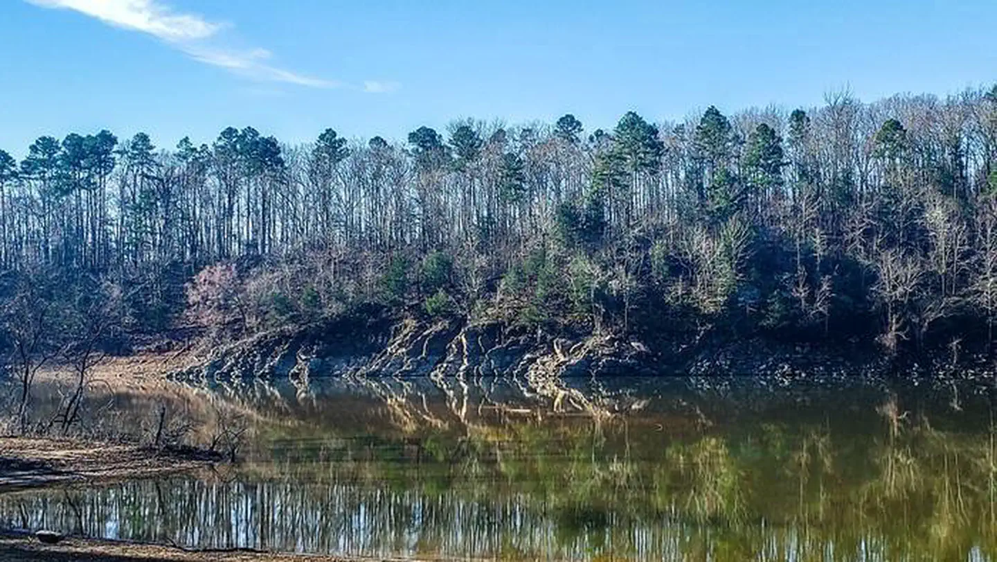
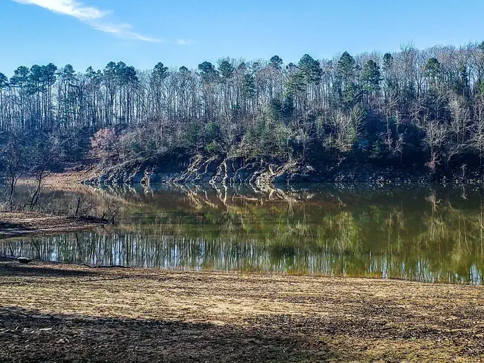
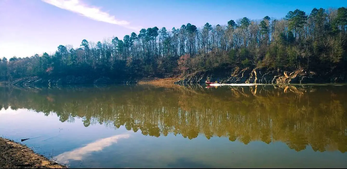
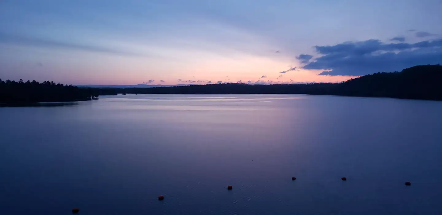
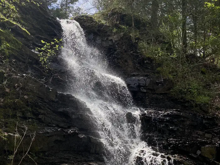
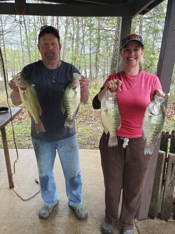
Overview Blue Ridge campground, located on the north end of Dierks Lake, offers a natural feel with incredible fishing in the flooded timberlands along the Saline River. Situated in the heart of the Howard County Wildlife Management Area this area peaks in spring and fall when fishing and hunting are at their best. Blue Ridge is a local hotspot for camping and fishing, with two boat ramps located right in the heart of crappie country. Recreation Camping Day use Boating Swimming Facilities 21 Campsites (Overnight) 2 Restrooms 1 Shower Facility Natural Features The 1360-acre lake offers excellent boating, canoeing, kayaking and swimming opportunities. Dierks Lake is known for its excellent bass and crappie fishing. Hunters will find nearly 600 acres of public hunting lands in the upper reaches of the project. Game species include white-tail deer, bobwhite quail, mourning dove, grey and fox squirrel, cottontail rabbit, and a variety of waterfowl. Nearby Attractions A day trip to Crater of Diamonds State Park in Murfreesboro, Arkansas, just 30 miles from the park, is a popular activity. The diamond mine is the only one of its kind in the country, where visitors get to keep any diamonds and semi-precious stones they unearth, regardless of value. Hot Springs National Park known for its naturally headed springs ust an hours drive away offers a multiple bathouses, resturants, and activies. Choctaw nation located just an hour away at Brokenbow offers world class gaming casino as well a variet of natural features and resturants
From the managing agency.
Is Blue Ridge Park free?
We do not have a fee on record for Blue Ridge Park. Confirm the cost locally before you go.
How do I get to Blue Ridge Park?
Blue Ridge Park is at 34.1934, -94.0921. We do not hold written directions for this one, so navigate to the coordinates.
Nearby
- Horseshoe Bend (Dierks Lake)3.2 mi
- Overlook (Dierks Lake)3.2 mi
- JEFFERSON RIDGE3.7 mi
- COSSATOT REEFS8.0 mi
- BIG COON CREEK8.9 mi
- LITTLE COON CREEK PARK9.5 mi
- Shady Lake Campground12.3 mi
- Star of The West15.2 mi
No other services within 50 mi on the record.
SourceSource data is agency published. Last synced September 19, 2026. Community reports and photos are submitted by travelers and are not verified by the agency.
