
Horseshoe Bend (Dierks Lake)
Campground · Fee not listed
Fast facts
- Cost
- Not listed. Check locally.
- Type
- Campground
- Phone
- 870-286-3214
- Coordinates
- 34.1476, -94.0876
- Last verified
- September 19, 2026
About this place
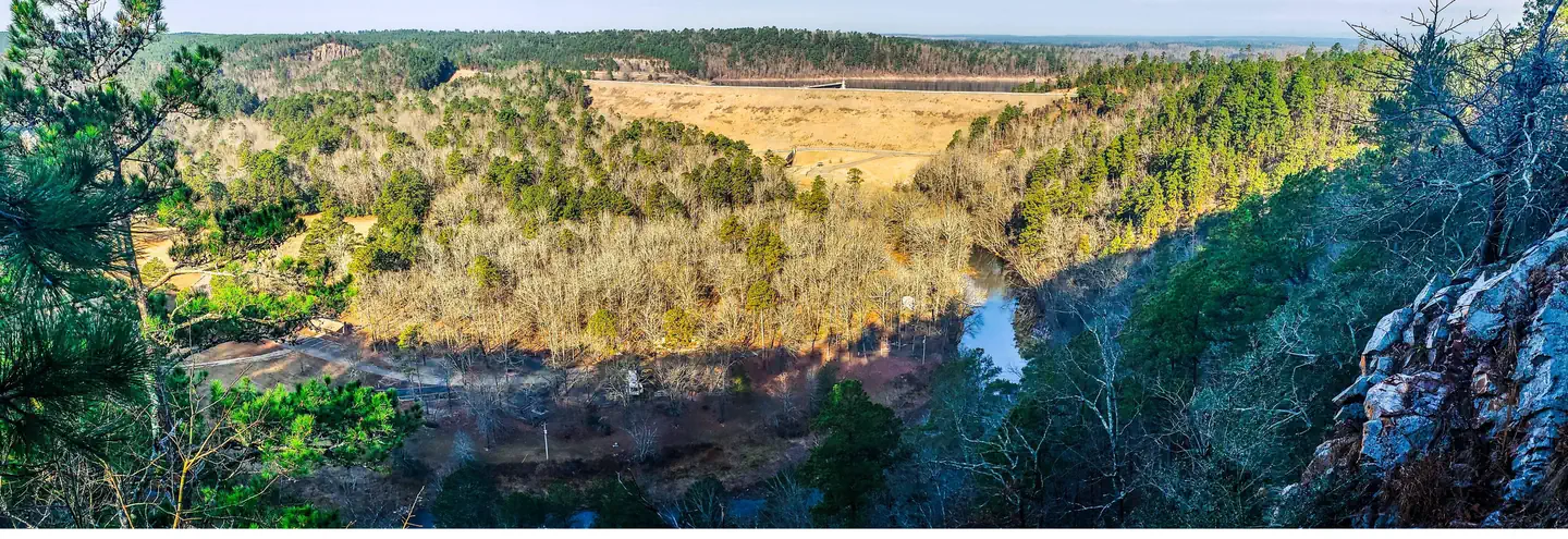
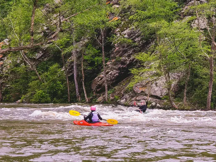
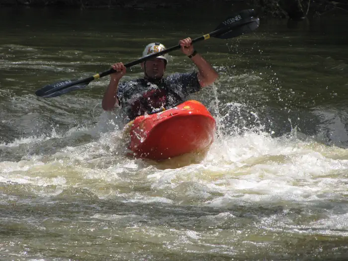
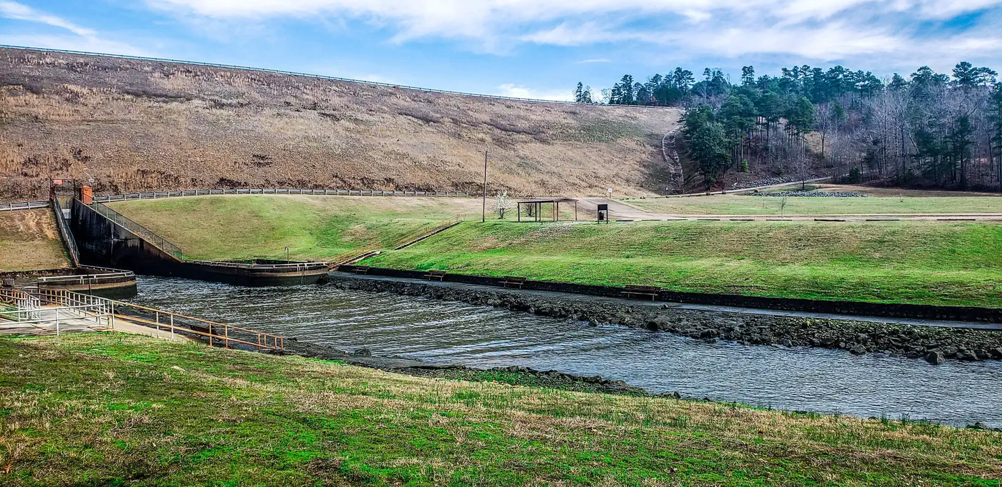
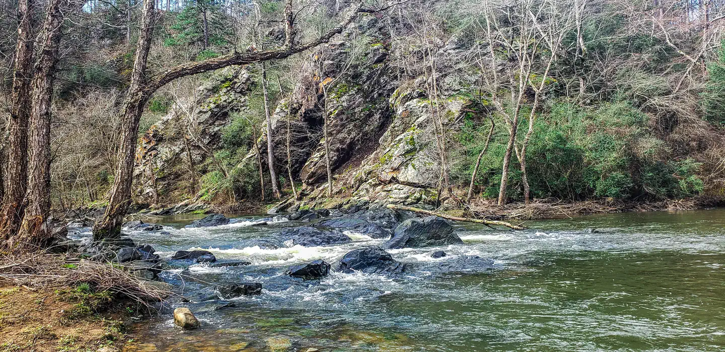
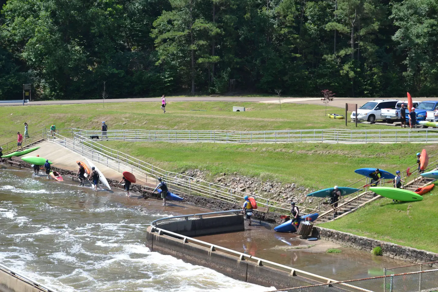
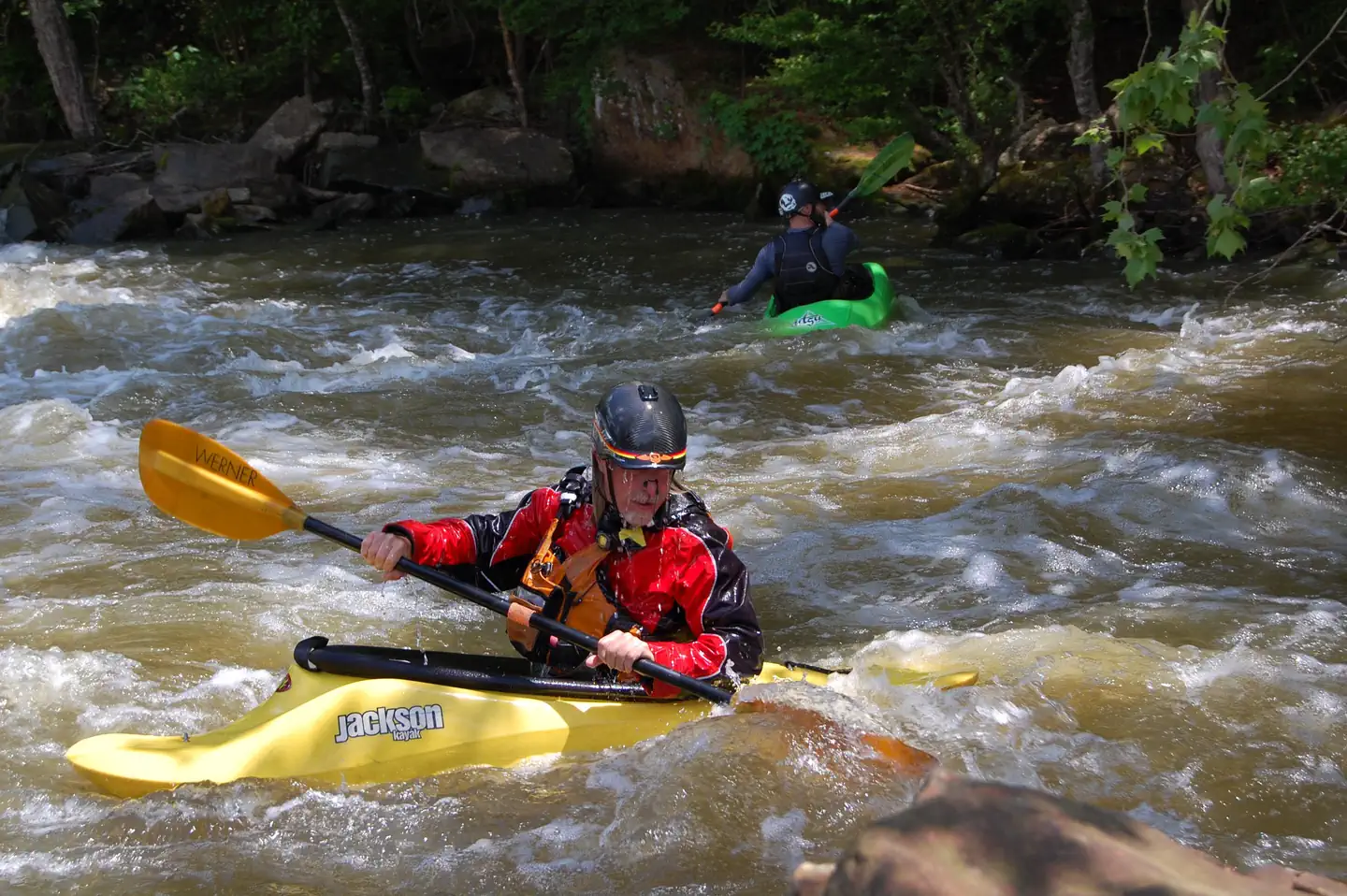
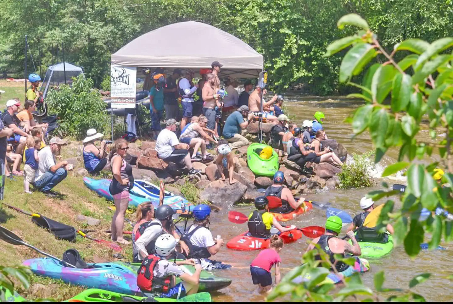
Overview Horseshoe Bend Park, located along the Saline River just south of Dierks Dam, is home to a paddlers dream course. This aquatic whitewater park, built along three quarters of a mile of pristine river funneled over native river stone, offers four or more challenging drops. The course is designed with paddlers in mind and is an excellent training location. The water park was home to the Olympic trials in the late 90’s and is dependent on spillway releases from Dierks Lake dam. When water conditions are right the course simulates Class II to Class IV rapids, all within a safe location that is easily accessible for paddlers to practice new techniques. For those looking to stay and play a while, 12 class A campsites are available along the riverfront Recreation Camping Day use Playground Shelter Paddling Facilities 12 Campsites (Overnight) 1 Pavillion (Day Use) 2 Restrooms 1 Shower Facility Playground Natural Features Dierks Lake is in the Ouachitas region of Arkansas and sits on the Saline River. Horseshoe bend sets at the base of a 300 foot verticle cliff offering scenic views along the steep wooded areas Nearby Attractions A day trip to Crater of Diamonds State Park in Murfreesboro, Arkansas, just 30 miles from the park, is a popular activity. The diamond mine is the only one of its kind in the country, where visitors get to keep any diamonds and semi-precious stones they unearth, regardless of value. Hot Springs National Park known for its naturally headed springs ust an hours drive away offers a multiple bathouses, resturants, and activies. Choctaw nation located just an hour away at Brokenbow offers world class gaming casino as well a variet of natural features and resturants
From the managing agency.
Is Horseshoe Bend (Dierks Lake) free?
We do not have a fee on record for Horseshoe Bend (Dierks Lake). Confirm the cost locally before you go.
How do I get to Horseshoe Bend (Dierks Lake)?
Horseshoe Bend (Dierks Lake) is at 34.1476, -94.0876. We do not hold written directions for this one, so navigate to the coordinates.
Nearby
- Overlook (Dierks Lake)0.1 mi
- JEFFERSON RIDGE2.2 mi
- Blue Ridge Park3.2 mi
- COSSATOT REEFS9.2 mi
- BIG COON CREEK10.3 mi
- LITTLE COON CREEK PARK11.0 mi
- Shady Lake Campground15.3 mi
- Star of The West15.9 mi
No other services within 50 mi on the record.
SourceSource data is agency published. Last synced September 19, 2026. Community reports and photos are submitted by travelers and are not verified by the agency.
