
Brady Mountain Day-Use
Campground · Fee not listed
Fast facts
- Cost
- Not listed. Check locally.
- Type
- Campground
- Phone
- 501-767-2101
- Coordinates
- 34.5808, -93.2660
- Last verified
- September 19, 2026
About this place
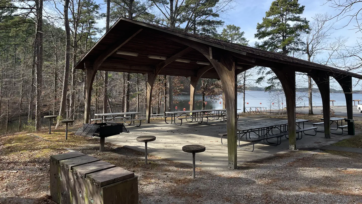
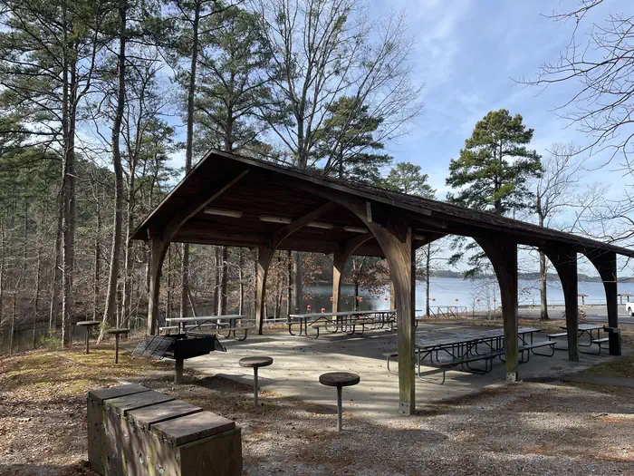
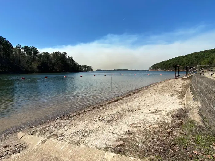
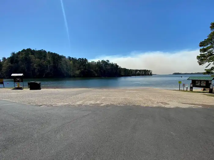
Overview Brady Mountain Day-Use Area delights visitors with its family-friendly facility, fabulous views and idyllic placement on Arkansas's Lake Ouachita. The lake attracts visitors who come for the crystal clear waters and bountiful fishing opportunities. Click here for the Lake Ouachita Virtual Tour. Recreation A unique way to explore the lake is to follow the Geo-Float Trail, coined as the first water-based interpretive trail included in the National Trails System. The self-guided boat tour leads visitors on a 16-mile trip to see incredible geologic features as it stretches from the Spillway Recreation Area to Brady Mountain Recreation Area. Hikers enjoy the scenic land-based nature trail accessible from the campground. Boating, fishing and scuba diving among the remains of the flooded mountain valley are also popular here. Facilities The Day-Use Pavilion has electrical hook-ups, picnic tables, and lighting. Other amenities include a bathroom facility, a swim beach, and a boat ramp. Natural Features Lake Ouachita sits in the heart of the Ouachita Mountains, just 10 miles west of Hot Springs National Park. The lake stems from the Ouachita River and boasts 692 miles of shoreline with 178 islands. Nearby Attractions Head to Hot Springs National Park and enjoy a traditional bath or modern spa experience with the natural spring water. Contact Info This location is unstaffed. To speak with our main office for general information, please call: (501) 767-2101.
From the managing agency.
Is Brady Mountain Day-Use free?
We do not have a fee on record for Brady Mountain Day-Use. Confirm the cost locally before you go.
How do I get to Brady Mountain Day-Use?
Brady Mountain Day-Use is at 34.5808, -93.2660. We do not hold written directions for this one, so navigate to the coordinates.
Nearby
- BRADY MOUNTAIN0.1 mi
- Spillway (Lake Ouachita)3.0 mi
- Avery4.3 mi
- Stephens Park Day-Use4.3 mi
- STEPHENS PARK4.4 mi
- Crystal Springs (AR) Day-Use5.4 mi
- Crystal Springs (AR)5.7 mi
- Charlton Recreation Area7.9 mi
No other services within 50 mi on the record.
SourceSource data is agency published. Last synced September 19, 2026. Community reports and photos are submitted by travelers and are not verified by the agency.
