
Avery
Campground · Fee not listed
Fast facts
- Cost
- Not listed. Check locally.
- Type
- Campground
- Phone
- 501-767-2101
- Coordinates
- 34.5678, -93.1930
- Last verified
- September 19, 2026

About this place
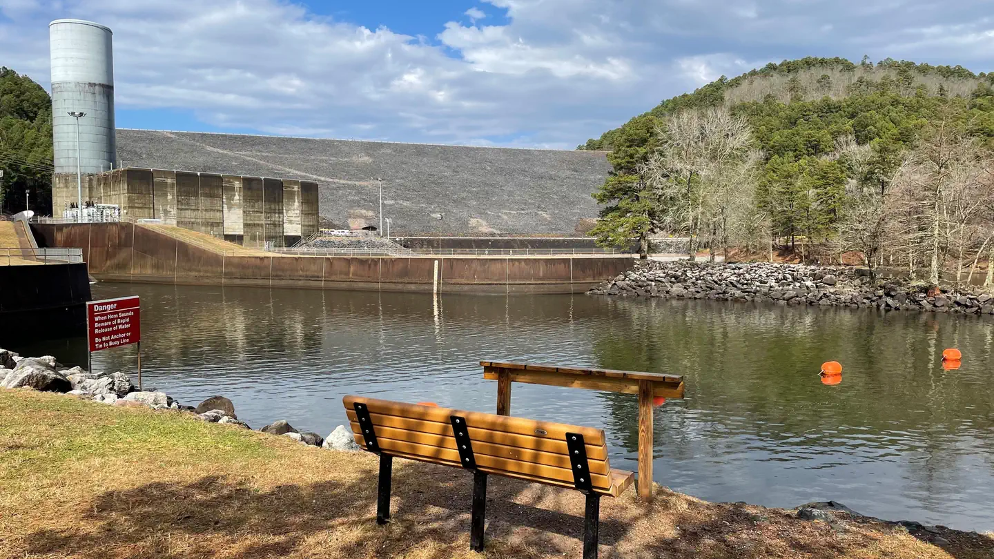
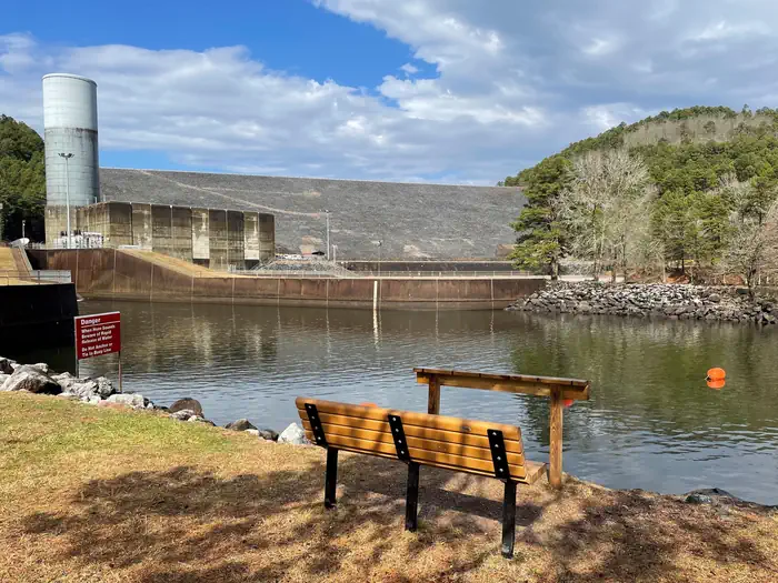
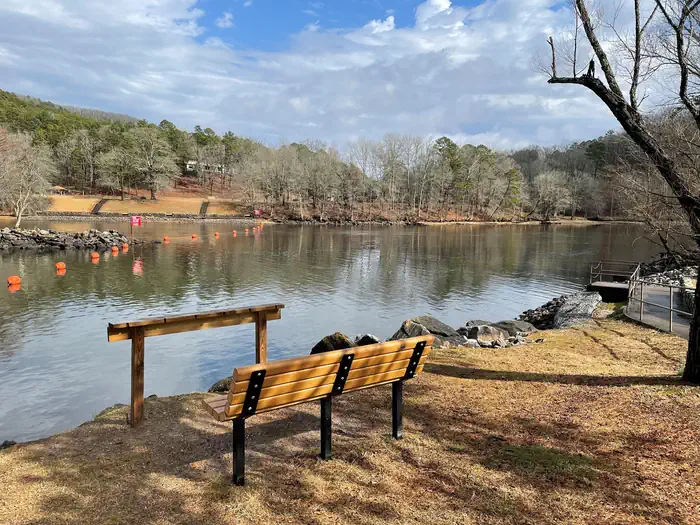
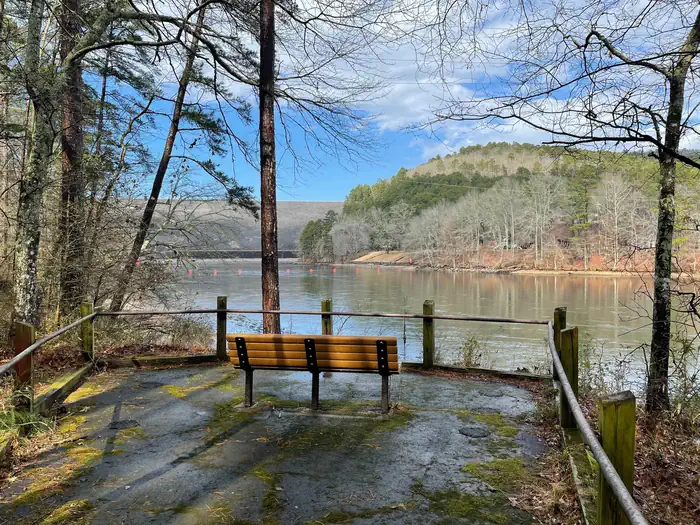
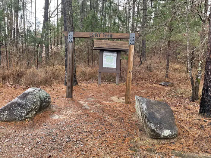
Overview Avery Recreation Area sits just below Blakely Mountain Dam and along the western shore of the Ouachita River/ Lake Hamilton. This day-use area offers great shoreline fishing access, an ADA fishing pier, boat ramp, reservable pavilion, restroom, and hiking trails. There is a small paved ADA trail with scenic benches. The Wood Duck Slough Trail has great wildlife viewing opportunities. Avery is also home to one of the main trailheads of the Lake Ouachita Vista Trail (LOViT) a 40 mile long trail system that meanders along the southern shore of Lake Ouachita. Click here for the Lake Ouachita Virtual Tour. Recreation Water skiers, jet skiers and anglers can all enjoy the crystal clear waters of the lake, while hikers enjoy the location on the Lake Ouachita Vista Trail (LOViT), which meanders across the south end of the lake. Natural Features Lake Ouachita is nestled in the Ouachita Mountains just 10 miles west of Hot Springs National Park. The pool is fed by the cool waters of the Ouachita River and extends about 30 miles over 40,000 surface acres. Contact Info This location is unstaffed. To speak with our main office for general information, please call: (501) 767-2101. Nearby Attractions Head to Hot Springs National Park and discover how it earned the nickname, "The American Spa." Or take a scenic drive through the 1.8 million-acres of Ouachita National Forest.
From the managing agency.
Is Avery free?
We do not have a fee on record for Avery. Confirm the cost locally before you go.
How do I get to Avery?
Avery is at 34.5678, -93.1930. We do not hold written directions for this one, so navigate to the coordinates.
Nearby
- Stephens Park Day-Use0.2 mi
- STEPHENS PARK0.2 mi
- Spillway (Lake Ouachita)1.3 mi
- BRADY MOUNTAIN4.2 mi
- Brady Mountain Day-Use4.3 mi
- Crystal Springs (AR) Day-Use8.9 mi
- Crystal Springs (AR)9.4 mi
- Gulpha Gorge Campground9.4 mi
No other services within 50 mi on the record.
SourceSource data is agency published. Last synced September 19, 2026. Community reports and photos are submitted by travelers and are not verified by the agency.
