
Charlton Recreation Area
Campground · Fee not listed
Fast facts
- Cost
- Not listed. Check locally.
- Type
- Campground
- Phone
- Office: (870) 867-2101 Cell: (501) 693-8923
- Coordinates
- 34.5168, -93.3818
- Last verified
- September 19, 2026
About this place
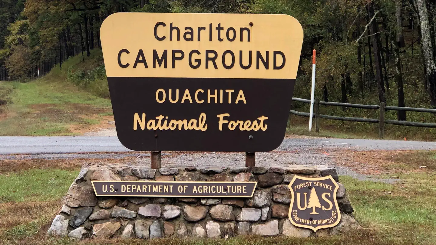
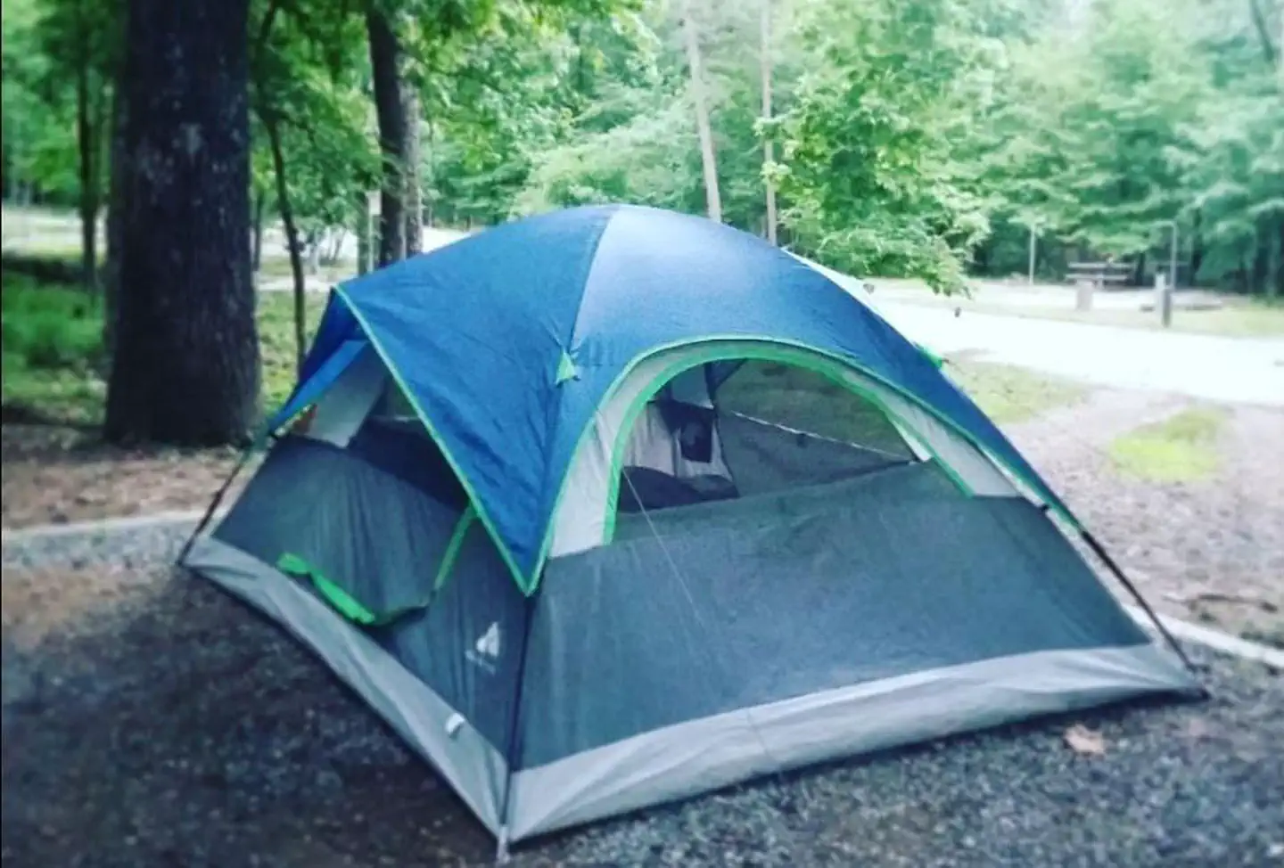
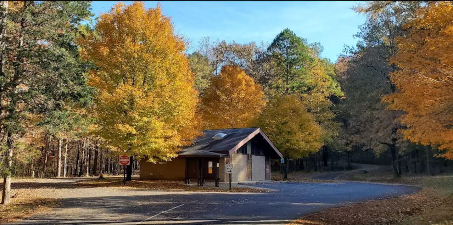
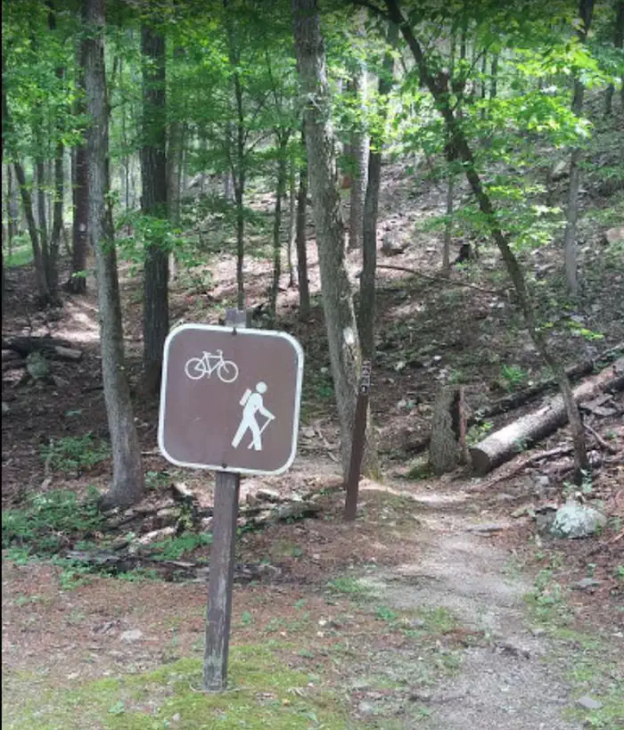
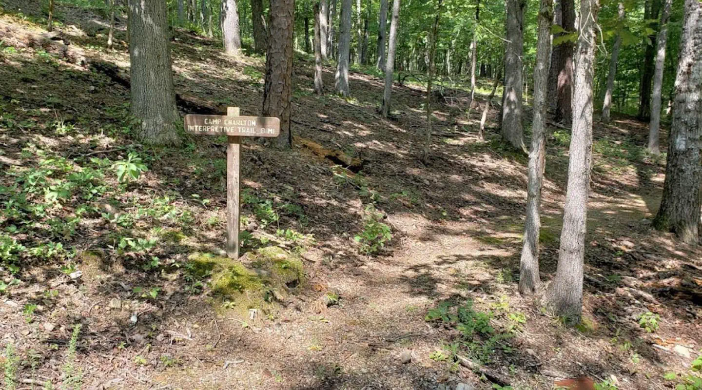
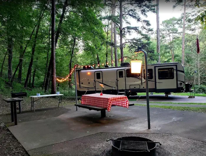
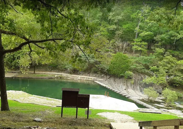
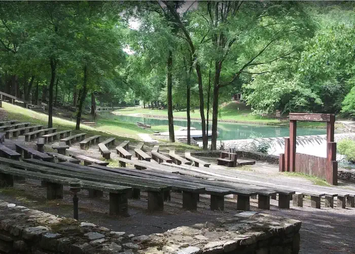
Overview Charlton Campground is located 17-miles west of Hot Springs National Park along Highway 270-West. This historic campground constructed by the Civilian Conservation Corps (CCC) in the 1930's has been upgraded with modern amenities. Known as one of the coldest swimming sites in the State of Arkansas, the cool water temperatures can be enjoyed through-out the summer months. Recreation Charlton Recreation Area offers a developed day use with swimming and picnicking facilities. A large pavilion is located in the day use area. The swimming area is known by area residents as being some of the coldest water through-out the summer months. Walnut Creek, a spring-fed stream provides refreshing water in the swim site. Hiking trails are located in and around the campground. An amphitheater is located in the day use area for group gatherings. Campsites are available from a basic campsite to more developed with additional amenities, to include 30-50 amp electrical service, water connections and some sites offering sewer connections. A dump station is located at the campground. Walnut Creek runs through the campground and access is available for wading and fishing in the creek. Facilities A-Loop campsites do not offer electric or water services available at the campsites. There is no bathhouse/restroom facilities in A-Loop. Campsites in A-Loop are basic campsites with each campsite having a fire ring, BBQ grill and picnic table. Community water spigots are available through-out the A-Loop. A-Loop Group Use Campsite does not have electric or water services available at the Group Use Campsite. B-Loop RV/Tent campsites offer 30-50 amp electrical service and water connections at the sites. C-Loop campsites, 1-10, offer 30-amp electrical service, water connections and some sites offering sewer connections. C-Loop campsites 11-19 and C-Loop Group Use Campsite do not have electric or water services available at the sites. Warm water showers and flush toilets. Paved roadways and campsites with gravel tent pads for setting up tents. Two Group Use Sites offering areas for large groups to set up tents, tents are only allowed at the Group Use Sites. Swimming and picnicking in the Charlton Day Use Area is included as part of the campsite fees. Two trail systems, one 1 mile interpretative trail system and a connector trail to the Lake Ouachita Vista Trail (LOViT) lead out from the Charlton Day Use Area. Natural Features Located in the valley between two tree covered mountains, the campsites through-out the campground are well shaded. The campground constructed along Walnut Creek, a natural spring-fed stream, temperatures are cool, even through the summer months. Nearby Attractions Lake Ouachita Vista - Hickory Nut Mountain Lake Ouachita Vista Trail (LOViT) Lake Ouachita Hot Springs National Park Historic Hot Springs Quartz Crystal Mines Contact Info For facility specific information, please call (870) 867-2101. Charges & Cancellations Charlton Campground is 100% reservable, moving from one campsite to another is not allowed. Camper must cancel their reserved campsite, before reserving a second campsite in the campground. Refunds will not be approved for campsites cancelled.
From the managing agency.
Is Charlton Recreation Area free?
We do not have a fee on record for Charlton Recreation Area. Confirm the cost locally before you go.
How do I get to Charlton Recreation Area?
Charlton Recreation Area is at 34.5168, -93.3818. We do not hold written directions for this one, so navigate to the coordinates.
Nearby
- Charlton0.1 mi
- Charlton Campground0.1 mi
- Crystal Springs (AR)2.4 mi
- Crystal Springs (AR) Day-Use2.6 mi
- Hickory Nut Mountain Picnic Area3.9 mi
- JOPLIN5.3 mi
- TOMPKINS BEND6.2 mi
- Tompkins Bend Day-Use6.2 mi
No other services within 50 mi on the record.
SourceSource data is agency published. Last synced September 19, 2026. Community reports and photos are submitted by travelers and are not verified by the agency.
