
Crystal Springs (AR) Day-Use
Campground · Fee not listed
Fast facts
- Cost
- Not listed. Check locally.
- Type
- Campground
- Phone
- 501-767-2101
- Coordinates
- 34.5407, -93.3463
- Last verified
- September 19, 2026
About this place
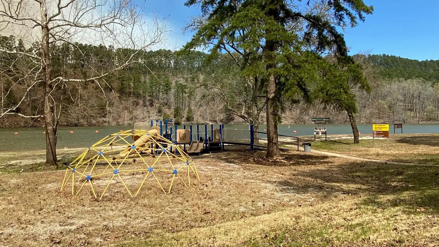
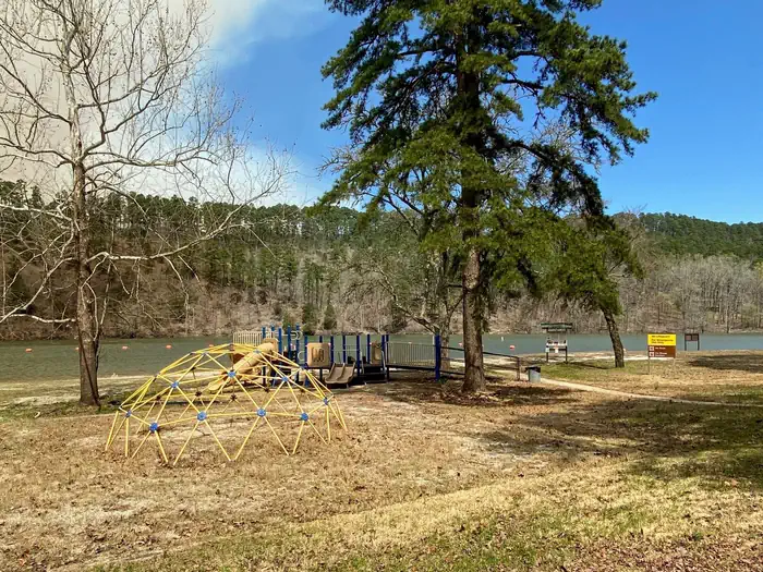
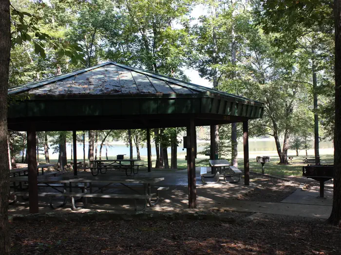
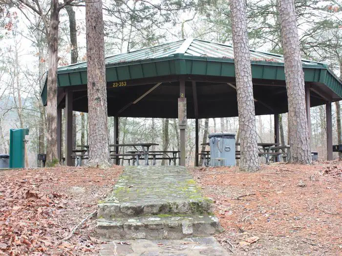
Overview Crystal Springs Day-Use Area, perched on the shores of Lake Ouachita in Arkansas, is an ideal spot for families, friends and couples. Approximately 1.2 million people visit the lake each year to explore its crystal clear waters and scenic mountain landscape. Click here for the Lake Ouachita Virtual Tour. Recreation Visitors enjoy fishing, water skiing, hiking and boating. Scuba diving is particularly popular because of the lake's high underwater visibility. Small and rare freshwater jellyfish (non-stinging) can be found, in addition to many types of fish, including the striped bass, lazily drifting between rocks. Bald eagles are a big attraction for bird watchers and photographers in winter months. Facilities The Day-Use Pavilion has electrical hook-ups, picnic tables, and lighting. Other amenities include a bathroom/shower facility, a playground, and a swim beach. Natural Features Lake Ouachita is nestled in the Ouachita Mountains just 10 miles west of Hot Springs National Park. The pool is fed by the cool waters of the Ouachita River and extends about 30 miles over 40,000 surface acres. Nearby Attractions Part of the scenic 223-mile Ouachita National Recreation Trail runs just north of the lake. Here, hikers and mountain bikers can explore an array of breathtaking views in the Ouachita Mountains. Contact Info This location is unstaffed. To speak with our main office for general information, please call: (501) 767-2101.
From the managing agency.
Is Crystal Springs (AR) Day-Use free?
We do not have a fee on record for Crystal Springs (AR) Day-Use. Confirm the cost locally before you go.
How do I get to Crystal Springs (AR) Day-Use?
Crystal Springs (AR) Day-Use is at 34.5407, -93.3463. We do not hold written directions for this one, so navigate to the coordinates.
Nearby
- Crystal Springs (AR)0.5 mi
- Charlton Recreation Area2.6 mi
- Charlton2.7 mi
- Charlton Campground2.7 mi
- Hickory Nut Mountain Picnic Area4.5 mi
- Brady Mountain Day-Use5.4 mi
- BRADY MOUNTAIN5.4 mi
- JOPLIN6.0 mi
No other services within 50 mi on the record.
SourceSource data is agency published. Last synced September 19, 2026. Community reports and photos are submitted by travelers and are not verified by the agency.
