
Soda Springs Campground (Bumping River, WA)
Campground · Fee not listed
Fast facts
- Cost
- Not listed. Check locally.
- Type
- Campground
- Phone
- 541-338-7869
- Nearest dump station
- Bumping Lake Dump Station · 6.5 mi
- Coordinates
- 46.9257, -121.2142
- Last verified
- September 19, 2026
About this place
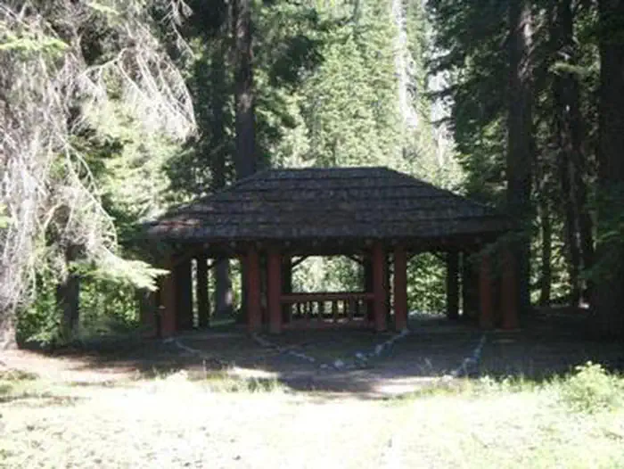
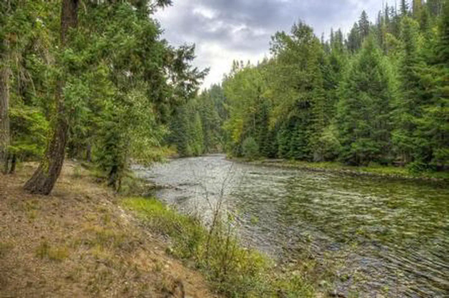
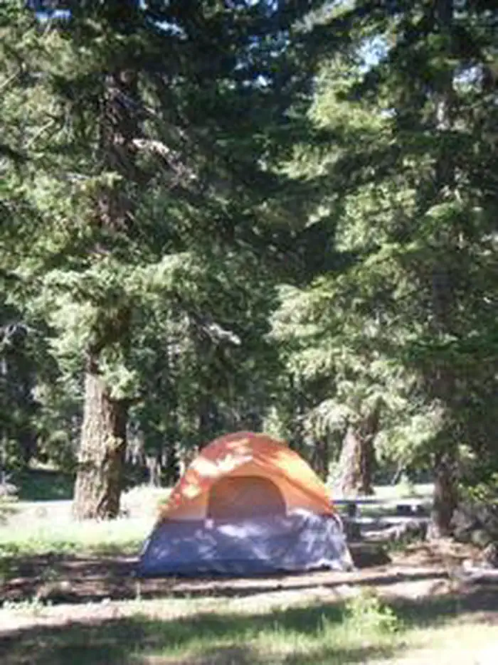
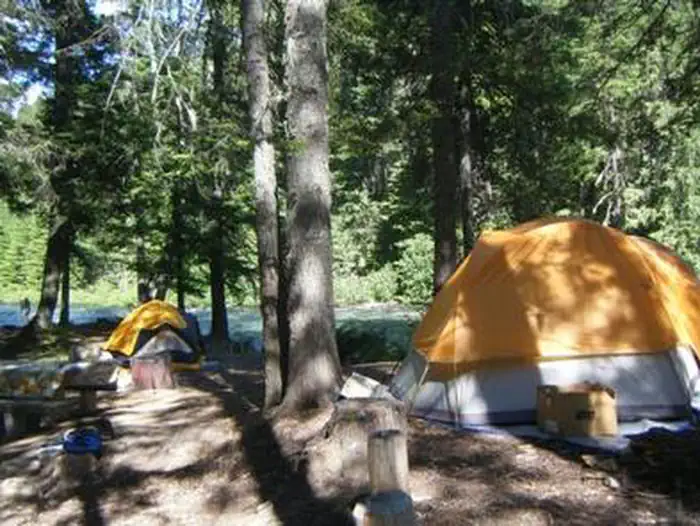
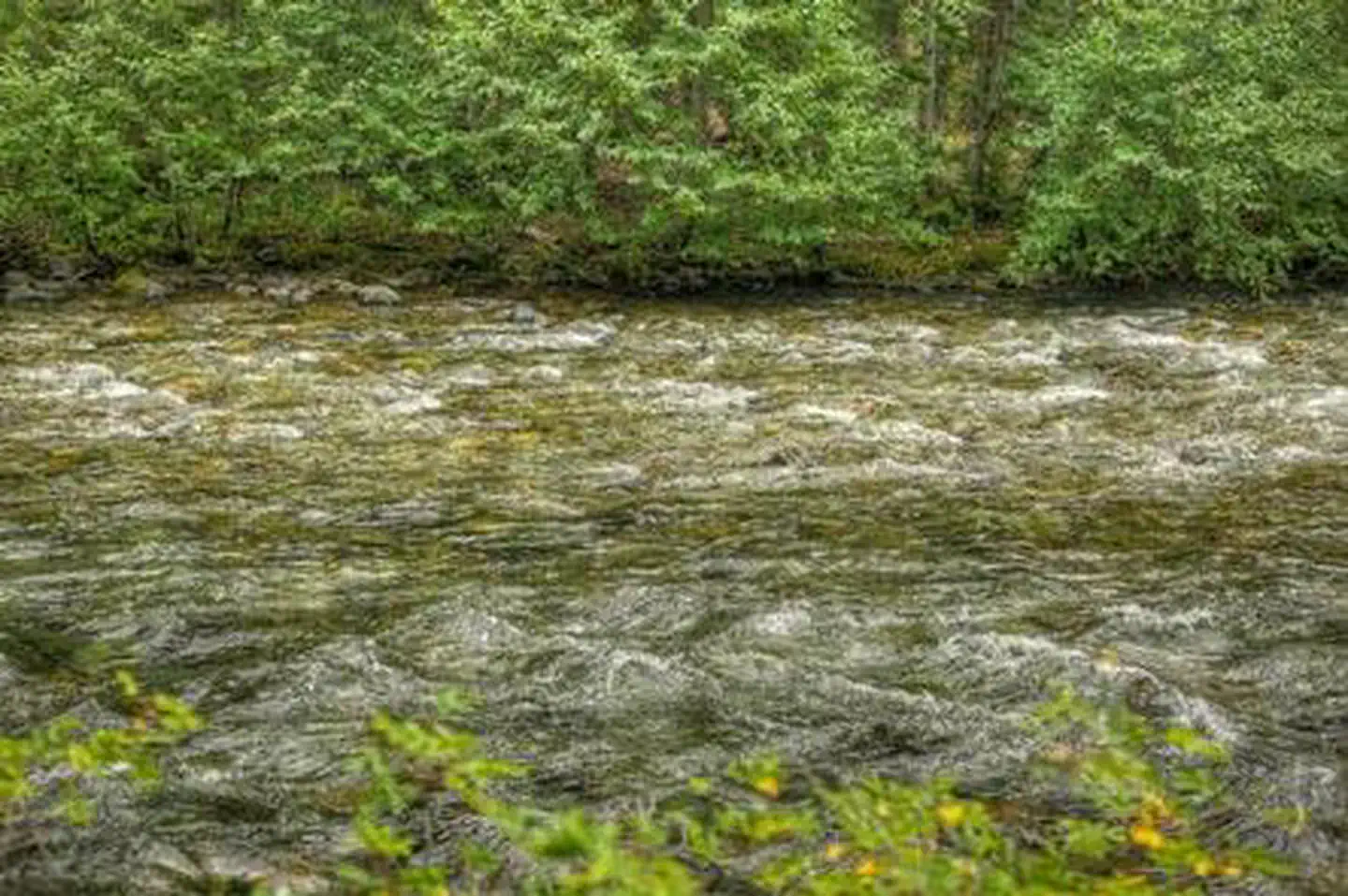
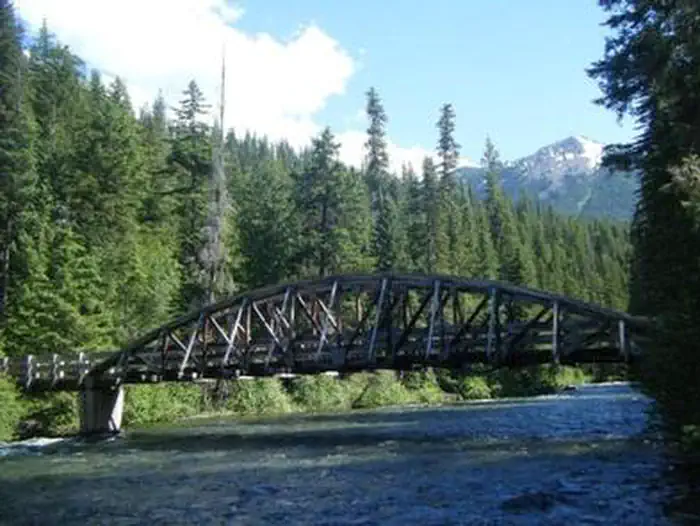
Overview Soda Springs Campground is set on the forested banks of the Bumping River in the Okanogan-Wenatchee National Forest. The area offers a delightful setting for visitors seeking recreation and relaxation. Recreation Soda Springs Campground offers outdoor enthusiasts the opportunity to hike, fish, ski, raft and enjoy a multitude of outdoor recreational activities throughout the year. The Bumping River, adjacent to the campground, offers a scenic backdrop for swimmers braving its cold, refreshing waters. Anglers may also want to cast a line into the deep pools lining the shore. Populations of rainbow, brook and steelhead trout prevail in this waterway. The nearby American Ridge Trail offers hikers, overnight backpackers and horseback riders fantastic opportunities to absorb some of the area's stunning beauty. Extending from Bumping River to the notable Pacific Crest Trail, the American Ridge Trail offers more than 26 miles of towering forests, stretches of meadows, alpine lakes and fantastic ridge line views. Trailheads for Goat Creek Trail, Nile Ridge Trail and the Richmond Mine Trail are also nearby. Facilities Adjacent to the Bumping River, this campground has standard sites to accommodate tents, trailers and RVs. Sites are equipped with picnic tables, campfire rings, vault toilets and drinking water. Two Civilian Conservation Corps picnic shelters provide gathering spots for visitors. Natural Features Okanogan-Wenatchee National Forest offers stunning scenic views, with high, glaciated alpine peaks, valleys of old growth forest and rugged shrub-steppe country making up the diverse landscape. Elevations range from below 1,000 feet to more than 9,000 feet. Precipitation varies greatly throughout the area, ranging from approximately 140 inches along the Cascade Crest to only 10 inches along the eastern edge. Visitors to the area can expect many days of warm, sunny weather in the summer, and winters with clear skies and plenty of snow. The surrounding undeveloped wilderness, clean streams and diverse forests support an abundance of wildlife, including deer, porcupine, native fish and migratory birds. Endangered and threatened species, including the Northern Bald Eagle, the Northern Spotted Owl, gray wolves and grizzly bears, also find havens in nearby ecosystems. Nearby Attractions Boulder Cave National Recreation Trail is one of the most popular places in the Naches District. Visitors can walk the accessible trail along the river or explore Boulder Cave. Interpretive signs along the trail explain the geology, plants, animals and fire history of the area. Visitors may want to take some time to visit nearby Mount Rainer National Park. Considered a wonderland, the park offers a fantastic glimpse into glaciers, sub-alpine ecology and volcanic landscapes typical in the region. Nearby Goat Rocks Wilderness is a stunning adventure for those wanting to traverse higher elevations. Peaks within the area are remnants of an extinct volcano, taking the name "Goat Rocks," in honor of the numerous mountain goats traversing this isolated region. Gilbert Peak is the highest summit in this area, at an elevation of 8,184 feet. Contact Info This location has limited staffing. Please call (661) 702-1420 for general information. Charges & Cancellations Cancellations Individual Campsites: Cancellations up to 2 days before a reservation start date incur a $10.00 cancellation fee. A visitor who cancels a reservation the day before or on the day of arrival will pay a $10.00 service fee AND forfeit the first night's use fee including tax and applicable add-on for a campsite. Cancellations for a one-night reservation will forfeit the entire amount paid and will not be subject to an additional service fee. No-Shows A no-show visitor is one who does not arrive at a campground and does not cancel the reservation by check-out time on the day after the scheduled arrival date. Staff will hold a campsite until check-out time on the day following the arrival date. No-shows are assessed $20.00 service fee and forfeit the first night's rate, taxes and applicable add-on for a campsite. Refunds Visitors may submit a refund request through their Recreation.gov profile within 7 days of the end date of their reservation. Refunds will not be issued after the 7 days has ended. Refunds for debit or credit card payments will be issued as a credit to the original bank or credit card used to pay. For check or cash purchases, Recreation.gov will mail a Treasury check for refunds of cash, check, or money order payments to the address associated with the reservation. Treasury check refunds may take up to 6-8 weeks to arrive. In the event of an emergency closure, the Recreation.gov team or facility manager will refund all fees and will attempt to notify you using the contact information within the Recreation.gov visitor profile.
From the managing agency.
Is this site free?
We do not have a fee on record for this site. Confirm the cost locally before you go.
How do I get to this site?
this site is at 46.9257, -121.2142. We do not hold written directions for this one, so navigate to the coordinates.
Nearby
SourceSource data is agency published. Last synced September 19, 2026. Community reports and photos are submitted by travelers and are not verified by the agency.
