
PINE NEEDLE GROUP SITE
Campground · Fee not listed
Fast facts
- Cost
- Not listed. Check locally.
- Type
- Campground
- Phone
- (509) 653-1401
- Nearest dump station
- Bumping Lake Dump Station · 9.1 mi
- Coordinates
- 46.9689, -121.2100
- Last verified
- September 19, 2026
About this place
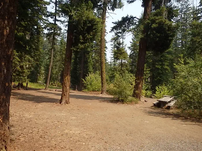
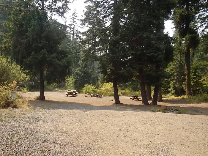
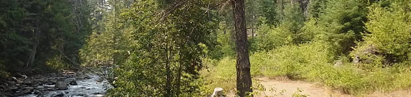
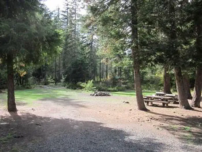
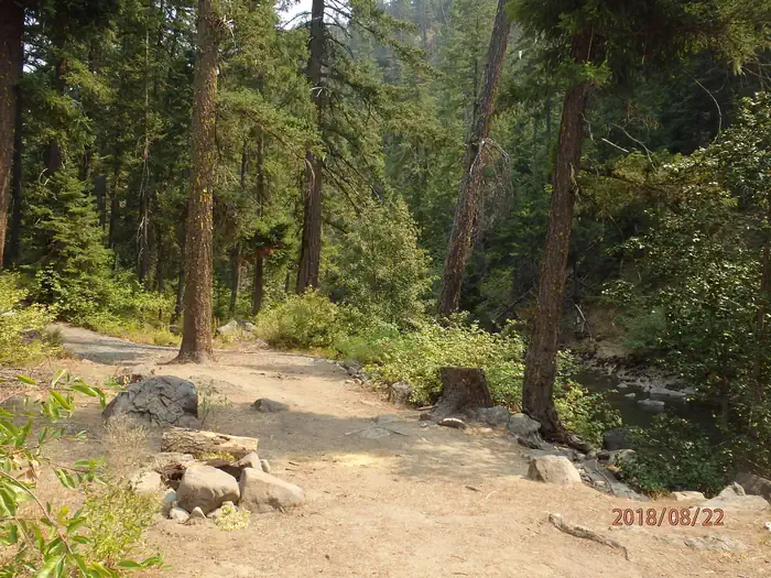
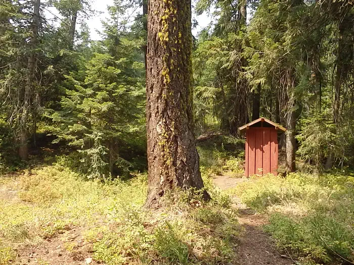
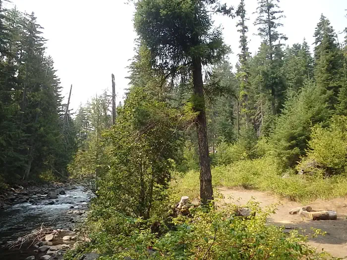
Overview Set on the shores of the scenic American River, Pine Needle Group Campground in Okanogan-Wenatchee National Forest offers an ideal setting for groups and large gatherings. Recreation Pine Needle Group Campground offers outdoor enthusiasts the opportunity to hike, fish, ski, raft and enjoy a multitude of other recreational activities throughout the year. The American River, adjacent to the campground, offers a scenic backdrop for swimmers braving its cold, refreshing waters. Anglers may also want to cast a line into the deep pools lining the shore, as populations of rainbow and brown trout prevail in this waterway. The nearby American Ridge Trail offers hikers, overnight backpackers and horseback riders fantastic opportunities. Extending from Bumping River to the notable Pacific Crest Trail, the American Ridge Trail offers over 26 miles of towering forests, stretches of meadows, alpine lakes and ridge line views. Facilities The campground offers one large site that can accommodate up to 60 guests. The site is equipped with picnic tables, a group campfire ring and vault toilets. Natural Features Okanogan-Wenatchee National Forest offers stunning scenic views, with high, glaciated alpine peaks, valleys of old growth forest and rugged shrub-steppe country making up the diverse landscape. Elevations range from below 1,000 feet to more than 9,000 feet. Precipitation varies greatly throughout the area, ranging from approximately 140 inches along the Cascade Crest to only 10 inches along the eastern edge. Visitors can expect warm, sunny weather in the summer and winters with clear skies and plenty of snow. Nearby Goat Rocks Wilderness offers excellent hiking. Peaks within the area are remnants of an extinct volcano, taking the name "Goat Rocks" in honor of the numerous mountain goats traversing this isolated region. Gilbert Peak is the highest summit in this area, at an elevation of 8,184 feet. Nearby Attractions Boulder Cave National Recreation Trail is one of the most popular places in the Naches District. Visitors can walk the accessible trail along the river or explore Boulder Cave. Interpretive signs along the trail explain the geology, plants, animals and fire history of the area. Visitors also enjoy Mt. Rainer National Park, where interpretive programs and exhibits offer education about the diverse landscape and history of the area. The spectacular Pacific Crest Trail (PCT), one of the world's premier National Scenic Trails, showcases some of North America's most fantastic scenery, winding its way its way from Mexico to Canada through California, Oregon and Washington, is accessible near the campground. Visitors will also enjoy traversing the Chinook Scenic Byway, considered one of Washington's premier driving excursions. Spectacular views of Mount Rainier, old-growth forests, alpine peaks, jagged ridges and river canyons dominate this 92-mile journey. Additional hiking trails, along with mountain bike trails are with in 5 miles of the campsite, and hunting opportunities are within 10 miles.
From the managing agency.
Is PINE NEEDLE GROUP SITE free?
We do not have a fee on record for PINE NEEDLE GROUP SITE. Confirm the cost locally before you go.
How do I get to PINE NEEDLE GROUP SITE?
PINE NEEDLE GROUP SITE is at 46.9689, -121.2100. We do not hold written directions for this one, so navigate to the coordinates.
Nearby
SourceSource data is agency published. Last synced September 19, 2026. Community reports and photos are submitted by travelers and are not verified by the agency.
