
FLATWOODS GROUP PICNIC AREA
USFS · Campground · Fee
Fast facts
- Cost
- Fee charged
- Managed by
- USFS
- Type
- Campground
- Hours
- Open May 23, 2024 - September 19, 2024 Day use only: sunrise to sunset
- Reservations
- recreation.gov
- Phone
- 276-679-8370
- Nearest dump station
- Cosby RV Sanitary Station · 90.0 mi
- Coordinates
- 36.9135, -82.4626
- Last verified
- September 19, 2026


About this place
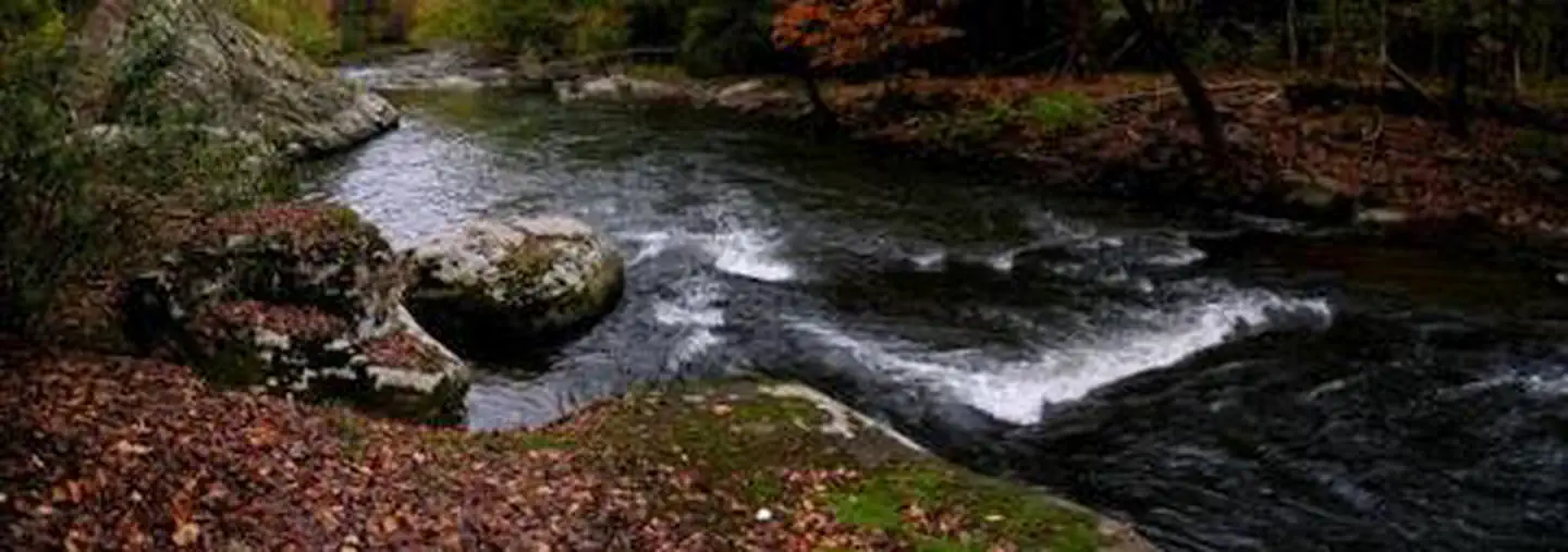
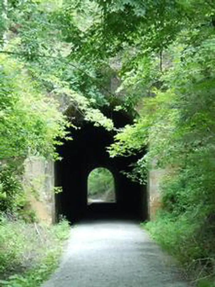
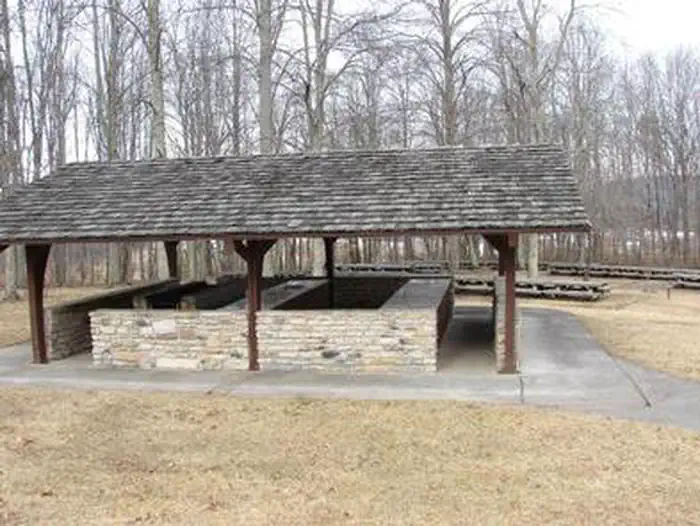
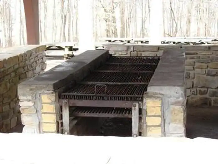
Overview Flatwoods Group Picnic area is a secluded site surrounded by forest. It is a great facility for family reunions, organization activities and other group events. Recreation Open lawn areas are adjacent to the picnic area which can be used for activities such as horseshoes, sports and games (bring your own game and sports equipment). Hiking trails are available within easy driving distance (Guest River Gorge, Chief Benges Scout, and Little Stony Falls Trails). Facilities A paved parking lot is close to the picnic shelter and restroom facilities. The picnic shelter has sinks with running water and a large built-in charcoal grill. The shelter also has electrical outlets where crockpots and other small appliances can be used. The picnic shelter is designed to be used for food preparation and as a serving area. Dining areas (picnic tables) are adjacent to the shelter but are outside and exposed to the weather. Men's and women's flush toilets are nearby. Natural Features The nearby Guest River Gorge is full of scenic beauty, native flora and fauna, as well as historic features. The Guest River Gorge can easily be explored by hiking or biking a 5.8-mile trail built upon an old railroad grade. The trail follows the Guest River as it meanders through 8 branches and creeks and terminates at the Guest River's confluence with the Clinch River. The first 0.3-miles is handicap accessible. This scenic trail passes through riparian forest, 300-million year old cliff lines and sandstone outcrops, and remnants of the railway that once ran through this region to haul locally-mined coal and saltpeter. An abundance of wildlife is easily viewable along this trail. Migratory birds such as flycatchers, several species of warblers and tanagers can be found during the summer. The Guest River Gorge is an easy way to explore the rugged beauty of this mountainous area. Little Stony Creek flows through a 400-ft deep and 1,700-ft wide gorge. Large rock outcrops, ledges, and boulders add to the scenery along the creek. Hardwood and hemlock forest cover much of this area. Mountain laurel and rhododendron thickets lace the edges of these trails in many areas, as well. A popular destination on the district is Little Stony Falls, a 24-foot waterfall, along with two smaller waterfalls. The falls can be seen from walking the Little Stony National Recreation Trail. The trail is a 2.8-mile trail which goes from an upper trailhead (near the falls) and a lower trailhead at Hanging Rock Picnic Area. In some areas of the trail, hikers will need to climb around/over boulders and large rocks to remain on the trail. Sightseers, hikers and birdwatchers will all equally enjoy a visit to this area. Be sure to check with the local Ranger Station for trail conditions. Storm events and hazards may result in trails being closed. Nearby Attractions The Guest River Gorge and Little Stony Falls are within easy driving distance.
From the USFS.Official page
Is FLATWOODS GROUP PICNIC AREA free?
No. FLATWOODS GROUP PICNIC AREA charges a fee. It is managed by the USFS. Sites are reservable through recreation.gov.
How do I get to FLATWOODS GROUP PICNIC AREA?
From Coeburn, VA, go south on State Route 72 for 2.3 miles. The Flatwoods Picnic Area will be on the right (west) side of State Route 72.
Nearby
SourceData from the USFS. Last synced September 19, 2026. Community reports and photos are submitted by travelers and are not verified by the agency.
